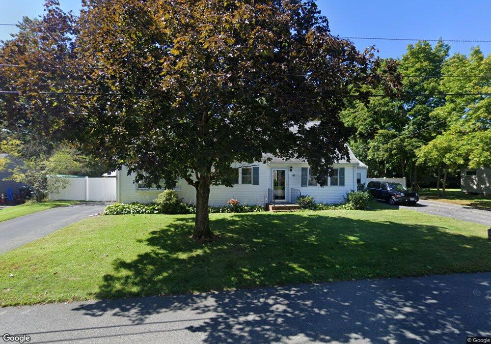
49 Hamilton Rd Wrentham, MA 02093
Estimated Value: $573,000 - $622,451
2
Beds
2
Baths
1,440
Sq Ft
$414/Sq Ft
Est. Value
About This Home
This home is located at 49 Hamilton Rd, Wrentham, MA 02093 and is currently estimated at $596,613, approximately $414 per square foot. 49 Hamilton Rd is a home located in Norfolk County with nearby schools including Delaney Elementary School, Charles E Roderick, and Foxborough Regional Charter School.
Ownership History
Date
Name
Owned For
Owner Type
Purchase Details
Closed on
Jul 22, 1977
Bought by
Pepin Armand L and Pepin Kathleen F
Current Estimated Value
Create a Home Valuation Report for This Property
The Home Valuation Report is an in-depth analysis detailing your home's value as well as a comparison with similar homes in the area
Home Values in the Area
Average Home Value in this Area
Purchase History
| Date | Buyer | Sale Price | Title Company |
|---|---|---|---|
| Pepin Armand L | -- | -- |
Source: Public Records
Mortgage History
| Date | Status | Borrower | Loan Amount |
|---|---|---|---|
| Closed | Pepin Armand L | $20,000 |
Source: Public Records
Tax History Compared to Growth
Tax History
| Year | Tax Paid | Tax Assessment Tax Assessment Total Assessment is a certain percentage of the fair market value that is determined by local assessors to be the total taxable value of land and additions on the property. | Land | Improvement |
|---|---|---|---|---|
| 2025 | $6,304 | $543,900 | $291,400 | $252,500 |
| 2024 | $6,150 | $512,500 | $291,400 | $221,100 |
| 2023 | $5,887 | $466,500 | $264,900 | $201,600 |
| 2022 | $5,088 | $372,200 | $203,900 | $168,300 |
| 2021 | $5,262 | $374,000 | $213,700 | $160,300 |
| 2020 | $5,140 | $360,700 | $192,700 | $168,000 |
| 2019 | $4,768 | $337,700 | $177,900 | $159,800 |
| 2018 | $4,864 | $341,600 | $177,900 | $163,700 |
| 2017 | $4,579 | $321,300 | $174,500 | $146,800 |
| 2016 | $4,501 | $315,200 | $169,400 | $145,800 |
| 2015 | $4,358 | $290,900 | $162,900 | $128,000 |
| 2014 | $4,088 | $267,000 | $143,600 | $123,400 |
Source: Public Records
Map
Nearby Homes
- 362 East St
- 1 Lorraine Metcalf Dr
- 270 Dedham St
- 10 Nature View Dr
- 15 Nature View Dr
- 65 Pond St
- 319 Taunton St
- 120 Hawes St
- 131 Creek St Unit 7
- 11 Earle Stewart Ln
- 483 Thurston St
- Lot 3 - 14 Earle Stewart Ln
- Lot 1 - Blueberry 2 Car Plan at King Philip Estates
- Lot 8 - Blueberry 2 Car Plan at King Philip Estates
- Lot 5 - Hughes 2 car Plan at King Philip Estates
- Lot 6 - Blueberry 3 Car Plan at King Philip Estates
- Lot 2 - Camden 2 Car Plan at King Philip Estates
- Lot 7 - Cedar Plan at King Philip Estates
- Lot 4 - Hemingway 2 Car Plan at King Philip Estates
- Lot 3 - Blueberry 2 Car Plan at King Philip Estates