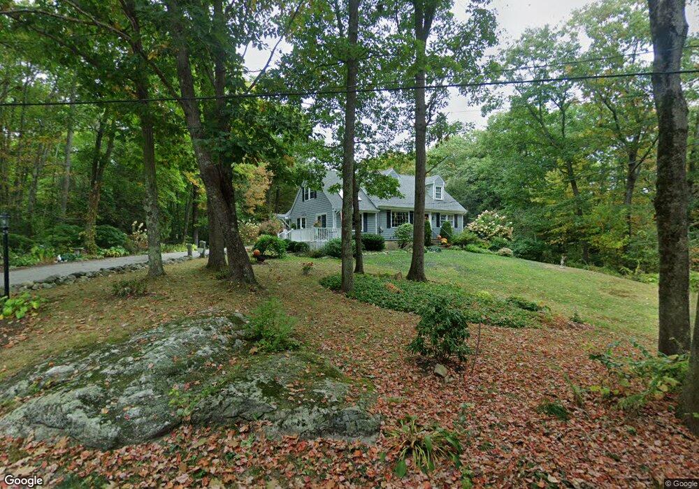
49 Haskins Rd Durham, ME 04222
Estimated Value: $232,921 - $491,000
3
Beds
2
Baths
1,188
Sq Ft
$330/Sq Ft
Est. Value
About This Home
This home is located at 49 Haskins Rd, Durham, ME 04222 and is currently estimated at $391,730, approximately $329 per square foot. 49 Haskins Rd is a home with nearby schools including Durham Community School and Freeport High School.
Ownership History
Date
Name
Owned For
Owner Type
Purchase Details
Closed on
Apr 20, 2006
Sold by
Spier Calvin C and Spier Karen M
Bought by
Spier Calvin C
Current Estimated Value
Home Financials for this Owner
Home Financials are based on the most recent Mortgage that was taken out on this home.
Original Mortgage
$33,387
Interest Rate
6.37%
Mortgage Type
Purchase Money Mortgage
Create a Home Valuation Report for This Property
The Home Valuation Report is an in-depth analysis detailing your home's value as well as a comparison with similar homes in the area
Home Values in the Area
Average Home Value in this Area
Purchase History
| Date | Buyer | Sale Price | Title Company |
|---|---|---|---|
| Spier Calvin C | -- | -- |
Source: Public Records
Mortgage History
| Date | Status | Borrower | Loan Amount |
|---|---|---|---|
| Closed | Spier Calvin C | $33,387 |
Source: Public Records
Tax History
| Year | Tax Paid | Tax Assessment Tax Assessment Total Assessment is a certain percentage of the fair market value that is determined by local assessors to be the total taxable value of land and additions on the property. | Land | Improvement |
|---|---|---|---|---|
| 2024 | $2,010 | $92,400 | $54,000 | $38,400 |
| 2023 | $1,973 | $92,400 | $54,000 | $38,400 |
| 2022 | $1,913 | $92,400 | $54,000 | $38,400 |
| 2021 | $1,913 | $92,400 | $54,000 | $38,400 |
| 2020 | $1,871 | $92,400 | $54,000 | $38,400 |
| 2019 | $1,871 | $92,400 | $54,000 | $38,400 |
| 2018 | $1,820 | $92,400 | $54,000 | $38,400 |
| 2016 | $1,737 | $92,400 | $54,000 | $38,400 |
| 2015 | $1,608 | $92,400 | $54,000 | $38,400 |
| 2014 | $1,538 | $92,400 | $54,000 | $38,400 |
| 2013 | $1,381 | $92,400 | $54,000 | $38,400 |
Source: Public Records
Map
Nearby Homes
- 1032 Ferry Rd
- 55 Sand Hill Dr
- 006-114 Old Brunswick Rd
- 78 Swamp Rd
- 1 Mattie Ln
- 24 Mattie Ln
- 9 Hudon Rd
- 26 Stanley Dr
- 11 Marshall St
- 645 Lisbon St
- 52 Shiloh Rd
- 14 Goddard St
- 272 Lisbon St
- 4 Hayfield Ln
- 44 Fairview Dr
- 38 Fairview Dr
- 12 Peter Robin Way
- 850 Lawrence Rd
- M.R6 Lot18 Lisbon St
- 219 Lisbon St
- 45 Haskins Rd
- 44 Haskins Rd
- 23 Haskins Rd
- 21 Haskins Rd
- 27 Cyr Rd
- 28 Cyr Rd
- 97 Peter Vier Rd
- 4 Haskins Rd
- 96 Peter Vier Rd
- 667 Hallowell Rd
- 0 Peter Vier
- 629 Hallowell Rd
- 621 Hallowell Rd
- 15 Cyr Rd
- 745 Royalsborough Rd
- 109 Peter Vier Rd
- Lot 8 Mattie Ln
- 124 Peter Vier Rd
- 831 Royalsborough Rd
- LOT 1 Hallowell Rd