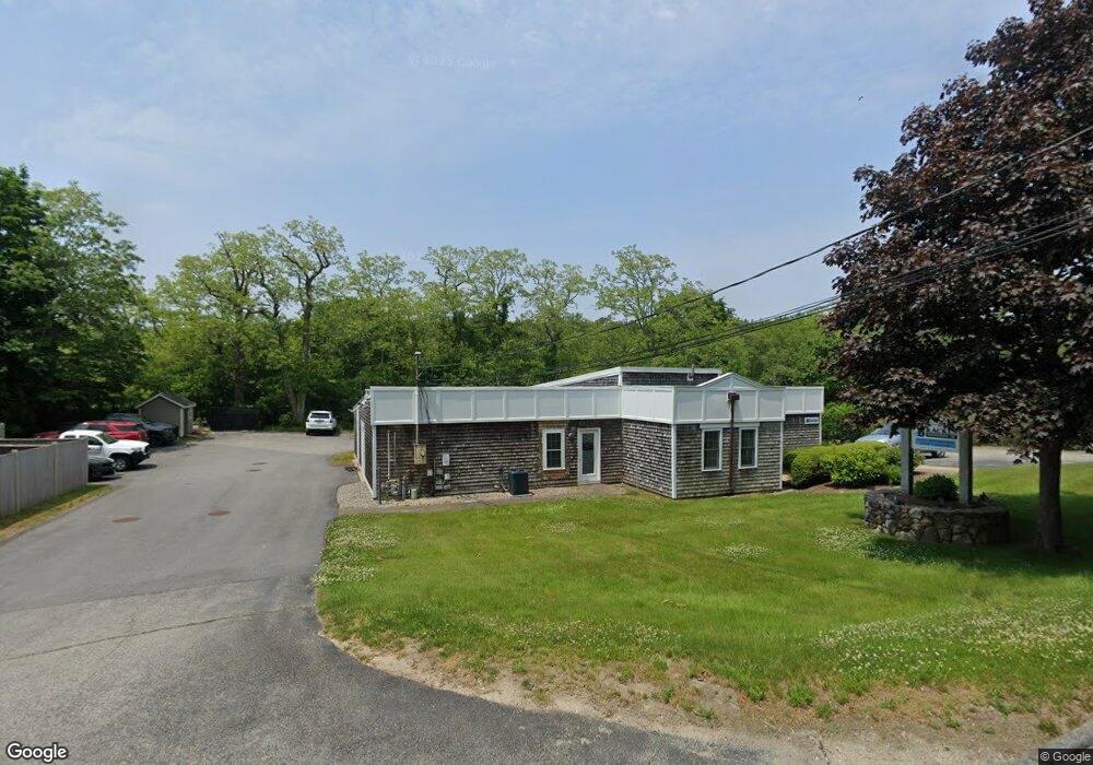
49 Herring Pond Rd Bourne, MA 2532
3
Beds
2
Baths
2,275
Sq Ft
30,448
Sq Ft Lot
About This Home
This home is located at 49 Herring Pond Rd, Bourne, MA 2532. 49 Herring Pond Rd is a home located in Barnstable County with nearby schools including Bourne High School, Bridgeview Montessori School, and New Testament Christian School.
Ownership History
Date
Name
Owned For
Owner Type
Purchase Details
Closed on
Jul 15, 2013
Sold by
Ryan James A
Bought by
Bourne Town Of
Purchase Details
Closed on
Jul 15, 1994
Sold by
Aaron B Bornstein T
Bought by
Flynn Nt
Home Financials for this Owner
Home Financials are based on the most recent Mortgage that was taken out on this home.
Original Mortgage
$160,000
Interest Rate
8.51%
Mortgage Type
Commercial
Purchase Details
Closed on
Jun 14, 1993
Sold by
Flynn Robert M
Bought by
Krona Mtg Corp
Purchase Details
Closed on
Apr 9, 1987
Sold by
Yankee Rlty Tr
Bought by
Harron Communications
Create a Home Valuation Report for This Property
The Home Valuation Report is an in-depth analysis detailing your home's value as well as a comparison with similar homes in the area
Purchase History
| Date | Buyer | Sale Price | Title Company |
|---|---|---|---|
| Bourne Town Of | $30,000 | -- | |
| Bourne Town Of | $30,000 | -- | |
| Flynn Nt | $160,000 | -- | |
| Flynn Nt | $160,000 | -- | |
| Krona Mtg Corp | $68,000 | -- | |
| Krona Mtg Corp | $68,000 | -- | |
| Harron Communications | $165,000 | -- |
Source: Public Records
Mortgage History
| Date | Status | Borrower | Loan Amount |
|---|---|---|---|
| Previous Owner | Harron Communications | $160,000 |
Source: Public Records
Tax History
| Year | Tax Paid | Tax Assessment Tax Assessment Total Assessment is a certain percentage of the fair market value that is determined by local assessors to be the total taxable value of land and additions on the property. | Land | Improvement |
|---|---|---|---|---|
| 2025 | $4,712 | $603,300 | $281,600 | $321,700 |
| 2024 | $4,607 | $574,400 | $268,200 | $306,200 |
| 2023 | $4,801 | $544,900 | $257,900 | $287,000 |
| 2022 | $5,159 | $511,300 | $242,500 | $268,800 |
| 2021 | $4,284 | $397,800 | $235,400 | $162,400 |
| 2020 | $4,074 | $379,300 | $230,800 | $148,500 |
| 2019 | $3,889 | $370,000 | $226,300 | $143,700 |
| 2018 | $3,739 | $354,700 | $217,600 | $137,100 |
| 2017 | $3,611 | $350,600 | $215,400 | $135,200 |
| 2016 | $3,562 | $350,600 | $215,400 | $135,200 |
| 2015 | $3,450 | $342,600 | $215,400 | $127,200 |
Source: Public Records
Map
Nearby Homes
- 6 Aspen Rd Unit 6
- 6 Aspen Rd
- 150 Herring Pond Rd
- 8 Jillian Dr
- 7 Swamp Rd
- 24 Heather Hill Rd
- 896 Sandwich Rd
- 4 Andrew Rd
- 51 Commonwealth Ave
- 51 Commonwealth Ave
- 16 Ocean Pines Dr Unit B
- 18 Gibbs Rd
- 0 State Rd
- 8 Driftwood Ln
- 29 Weather Deck Rd
- 24 Ships View Terrace
- 11 Village Green Dr Unit B
- 11 Womponoag Rd
- 17 Ridgehill Ln
- 2 Womponoag Rd
- 51 Herring Pond Rd
- 6 Bournedale Rd
- 6 Bournedale Rd Unit 6B
- 6 Bournedale Rd Unit 6B 2nd Floor
- 6 Bournedale Rd Unit 6B 2nd FL
- 6 Bournedale Rd Unit 1st floor
- 6 Bournedale Rd Unit 6A
- 6 Bournedale Rd Unit 6
- 6 Bournedale Rd
- 8 Bournedale Rd
- 53 Herring Pond Rd
- 5 Bournedale Rd
- 9 Bournedale Rd
- 5 Bournedale Rd
- 29 Herring Pond Rd
- 4 Dogwood Rd
- 2 Dogwood Rd
- 1 Dogwood Rd
- 4 Dogwood Rd Unit H
- 4 Dogwood Rd Unit H4
Your Personal Tour Guide
Ask me questions while you tour the home.