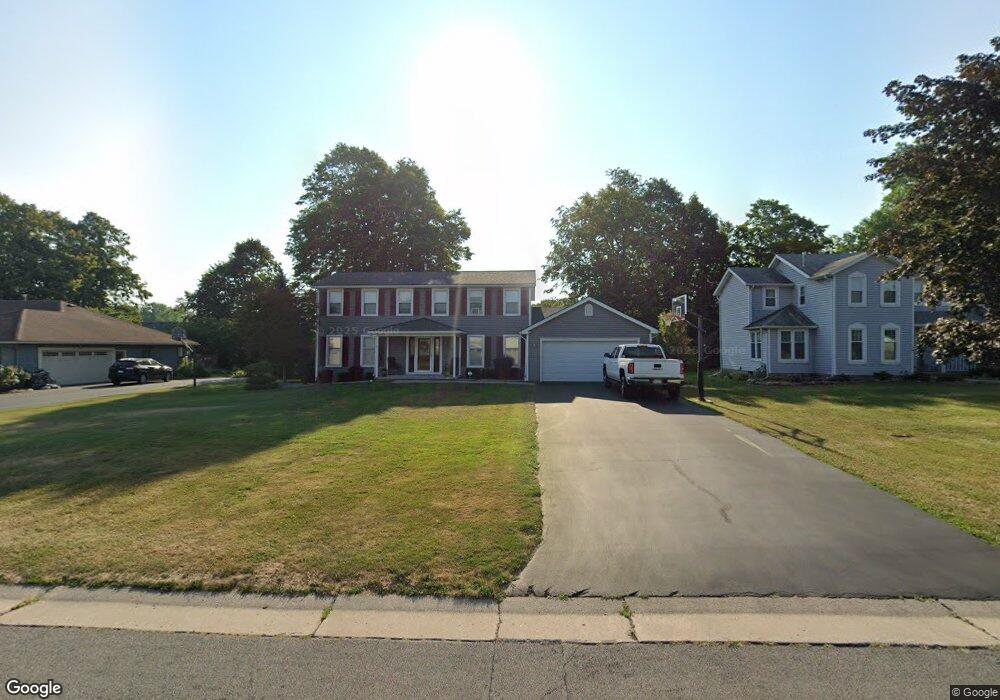
49 Highview Cir Brockport, NY 14420
Estimated Value: $326,000 - $381,000
4
Beds
3
Baths
2,100
Sq Ft
$165/Sq Ft
Est. Value
About This Home
This home is located at 49 Highview Cir, Brockport, NY 14420 and is currently estimated at $345,854, approximately $164 per square foot. 49 Highview Cir is a home located in Monroe County with nearby schools including Ginther Elementary School, Barclay Elementary School, and Fred W. Hill Elementary School.
Ownership History
Date
Name
Owned For
Owner Type
Purchase Details
Closed on
May 10, 2019
Sold by
Quinn Martin E and Quinn Mary M
Bought by
Molina Edwin and Molina Colleen Q
Current Estimated Value
Home Financials for this Owner
Home Financials are based on the most recent Mortgage that was taken out on this home.
Original Mortgage
$150,000
Outstanding Balance
$131,342
Interest Rate
4%
Mortgage Type
VA
Estimated Equity
$214,512
Create a Home Valuation Report for This Property
The Home Valuation Report is an in-depth analysis detailing your home's value as well as a comparison with similar homes in the area
Home Values in the Area
Average Home Value in this Area
Purchase History
| Date | Buyer | Sale Price | Title Company |
|---|---|---|---|
| Molina Edwin | $180,000 | Chicago Title Insurance Co |
Source: Public Records
Mortgage History
| Date | Status | Borrower | Loan Amount |
|---|---|---|---|
| Open | Molina Edwin | $150,000 |
Source: Public Records
Tax History Compared to Growth
Tax History
| Year | Tax Paid | Tax Assessment Tax Assessment Total Assessment is a certain percentage of the fair market value that is determined by local assessors to be the total taxable value of land and additions on the property. | Land | Improvement |
|---|---|---|---|---|
| 2024 | $4,824 | $283,800 | $31,000 | $252,800 |
| 2023 | $4,824 | $214,300 | $28,200 | $186,100 |
| 2022 | $5,618 | $214,300 | $28,200 | $186,100 |
| 2021 | $5,603 | $180,000 | $28,200 | $151,800 |
| 2020 | $7,037 | $180,000 | $28,200 | $151,800 |
| 2019 | $2,905 | $177,300 | $28,200 | $149,100 |
| 2018 | $6,344 | $177,300 | $28,200 | $149,100 |
| 2017 | $3,363 | $167,500 | $28,200 | $139,300 |
| 2016 | $6,117 | $167,500 | $28,200 | $139,300 |
| 2015 | -- | $167,500 | $28,200 | $139,300 |
| 2014 | -- | $167,500 | $28,200 | $139,300 |
Source: Public Records
Map
Nearby Homes
- 6151 Brockport Spencerport Rd Unit R
- 11 Keystone Ct
- 16 Wood Trace
- 31 Fairview Dr
- 6084/4 Brockport Spencerport Rd Unit 4
- 0 Sweden Walker Rd Unit R1289251
- 0 Sweden Walker Rd Unit R1286894
- 0 Sweden Walker Rd Unit R1286906
- 69 Fair St
- 45 Chappell St
- 202 Main St
- 51 College St
- 0 Lake Rd Unit R1632132
- 0 Lake Unit R1622987
- 0 Lake Unit R1616126
- 00 Lake Rd
- 62 Monroe Ave
- 185 Lyman St
- 77 Barry St
- 0 E Canal Rd Unit R1286908