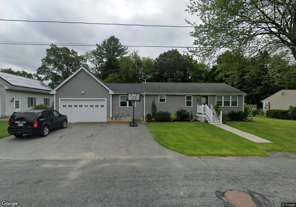
49 Hingham Rd North Grafton, MA 01536
Estimated Value: $478,000 - $517,420
3
Beds
1
Bath
1,304
Sq Ft
$382/Sq Ft
Est. Value
About This Home
This home is located at 49 Hingham Rd, North Grafton, MA 01536 and is currently estimated at $498,355, approximately $382 per square foot. 49 Hingham Rd is a home located in Worcester County with nearby schools including Grafton High School, Silver Spruce Montessori School, and Al-Hamra Academy.
Ownership History
Date
Name
Owned For
Owner Type
Purchase Details
Closed on
Sep 18, 2009
Sold by
Alachoyan Theresa J Es and Alachoyan A
Bought by
Pearson Keith A and Pearson Elizabeth C
Current Estimated Value
Home Financials for this Owner
Home Financials are based on the most recent Mortgage that was taken out on this home.
Original Mortgage
$171,731
Outstanding Balance
$112,824
Interest Rate
5.28%
Mortgage Type
Purchase Money Mortgage
Estimated Equity
$385,531
Create a Home Valuation Report for This Property
The Home Valuation Report is an in-depth analysis detailing your home's value as well as a comparison with similar homes in the area
Home Values in the Area
Average Home Value in this Area
Purchase History
| Date | Buyer | Sale Price | Title Company |
|---|---|---|---|
| Pearson Keith A | $174,900 | -- | |
| Pearson Keith A | $174,900 | -- | |
| Pearson Keith A | $174,900 | -- |
Source: Public Records
Mortgage History
| Date | Status | Borrower | Loan Amount |
|---|---|---|---|
| Open | Pearson Keith A | $171,731 | |
| Closed | Pearson Keith A | $171,731 |
Source: Public Records
Tax History Compared to Growth
Tax History
| Year | Tax Paid | Tax Assessment Tax Assessment Total Assessment is a certain percentage of the fair market value that is determined by local assessors to be the total taxable value of land and additions on the property. | Land | Improvement |
|---|---|---|---|---|
| 2025 | $6,238 | $447,500 | $179,500 | $268,000 |
| 2024 | $6,102 | $426,400 | $171,000 | $255,400 |
| 2023 | $5,901 | $375,600 | $171,000 | $204,600 |
| 2022 | $5,552 | $328,900 | $146,800 | $182,100 |
| 2021 | $5,372 | $312,700 | $133,500 | $179,200 |
| 2020 | $5,160 | $312,700 | $133,500 | $179,200 |
| 2019 | $4,910 | $294,700 | $129,600 | $165,100 |
| 2018 | $4,612 | $278,000 | $128,900 | $149,100 |
| 2017 | $4,316 | $263,200 | $121,300 | $141,900 |
| 2016 | $3,507 | $209,400 | $97,400 | $112,000 |
| 2015 | $3,458 | $209,600 | $96,300 | $113,300 |
| 2014 | $3,304 | $216,500 | $113,700 | $102,800 |
Source: Public Records
Map
Nearby Homes
- 30 Falmouth Dr
- 17 Hingham Rd
- 44 Meadow Ln
- 14 Northgate Ct Unit 14
- 194 Worcester St
- 11 Hovey Pond Dr Unit 11
- 7 Hovey Pond Dr Unit 7
- 22 Beverly Rd
- 3 Abby Rd
- 76 Samuel Dr
- 156 Brigham Hill Rd
- 5 Lincoln Ln Unit 5
- 21 Lordvale Blvd Unit 406
- 0 East St
- 28 Lincoln Ln
- 46 John Dr Unit 46
- 5 Edward Dr
- 4 Westboro Rd
- 4 Winslow Ln Unit 1410
- 9 Logan Path