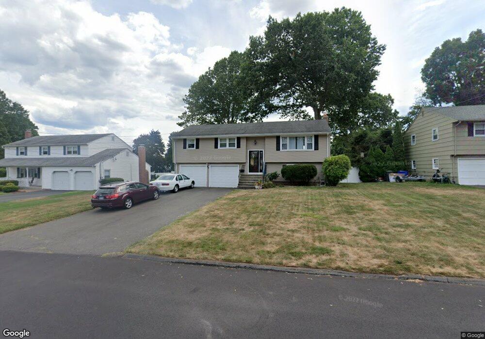
49 Jeffrey Ln Newington, CT 06111
Estimated Value: $420,793 - $530,000
3
Beds
3
Baths
1,242
Sq Ft
$372/Sq Ft
Est. Value
About This Home
This home is located at 49 Jeffrey Ln, Newington, CT 06111 and is currently estimated at $461,448, approximately $371 per square foot. 49 Jeffrey Ln is a home located in Hartford County with nearby schools including Anna Reynolds School, Martin Kellogg Middle School, and Newington High School.
Ownership History
Date
Name
Owned For
Owner Type
Purchase Details
Closed on
Feb 12, 2009
Sold by
Famiglietti Marco
Bought by
Malan Douglas S and Malan Allison J
Current Estimated Value
Purchase Details
Closed on
Dec 16, 1993
Sold by
Chrusciel Richard A and Chrusciel Rhonda W
Bought by
Famiglietti Marco and Guidotti Marla
Home Financials for this Owner
Home Financials are based on the most recent Mortgage that was taken out on this home.
Original Mortgage
$129,375
Interest Rate
7.03%
Mortgage Type
Unknown
Create a Home Valuation Report for This Property
The Home Valuation Report is an in-depth analysis detailing your home's value as well as a comparison with similar homes in the area
Home Values in the Area
Average Home Value in this Area
Purchase History
| Date | Buyer | Sale Price | Title Company |
|---|---|---|---|
| Malan Douglas S | $287,500 | -- | |
| Famiglietti Marco | $172,500 | -- |
Source: Public Records
Mortgage History
| Date | Status | Borrower | Loan Amount |
|---|---|---|---|
| Previous Owner | Famiglietti Marco | $120,000 | |
| Previous Owner | Famiglietti Marco | $121,600 | |
| Previous Owner | Famiglietti Marco | $129,375 | |
| Previous Owner | Famiglietti Marco | $40,000 |
Source: Public Records
Tax History Compared to Growth
Tax History
| Year | Tax Paid | Tax Assessment Tax Assessment Total Assessment is a certain percentage of the fair market value that is determined by local assessors to be the total taxable value of land and additions on the property. | Land | Improvement |
|---|---|---|---|---|
| 2024 | $6,693 | $168,710 | $53,030 | $115,680 |
| 2023 | $6,472 | $168,710 | $53,030 | $115,680 |
| 2022 | $6,494 | $168,710 | $53,030 | $115,680 |
| 2021 | $6,548 | $168,710 | $53,030 | $115,680 |
| 2020 | $6,302 | $160,430 | $53,030 | $107,400 |
| 2019 | $6,329 | $160,430 | $53,030 | $107,400 |
| 2018 | $6,177 | $160,430 | $53,030 | $107,400 |
| 2017 | $5,870 | $160,430 | $53,030 | $107,400 |
| 2016 | $5,735 | $160,430 | $53,030 | $107,400 |
| 2014 | $5,599 | $161,020 | $52,920 | $108,100 |
Source: Public Records
Map
Nearby Homes
- 236 Sterling Dr Unit 236
- 239 Sterling Dr Unit 239
- 126 Cherry Hill Dr
- 54 Red Top Dr
- 305 Hampton Ct
- 26 Baldwin St
- 25 Fowler Dr
- 66 Rosemary Ln Unit 66
- 179 Hampton Ct Unit 179
- 135 Village Square Dr Unit 8
- 293 Elmfield St
- 123 Brittany Farms Rd Unit C
- 521 S Main St
- 140 Camp Ave
- 154 Brittany Farms Rd Unit B
- 32 Leona Ln
- 180 Brittany Farms Rd Unit D
- 198 Brittany Farms Rd Unit D
- 45 Bradford Walk Unit 45
- 493 S Main St