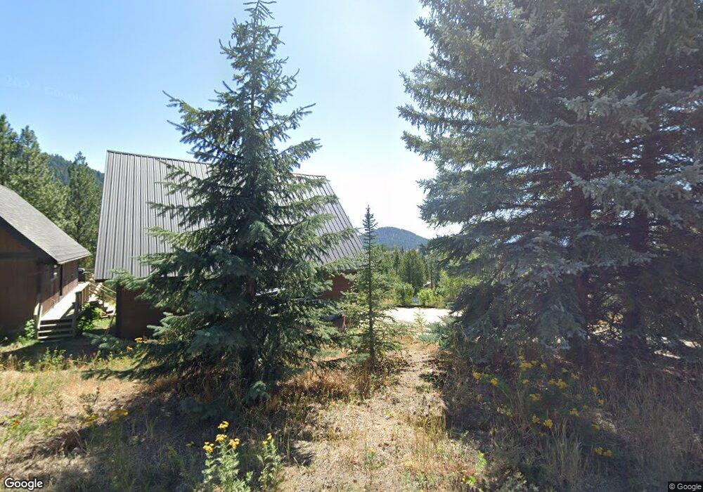
49 Jughandle Dr McCall, ID 83638
Estimated Value: $775,055 - $1,040,000
3
Beds
2
Baths
2,053
Sq Ft
$434/Sq Ft
Est. Value
About This Home
This home is located at 49 Jughandle Dr, McCall, ID 83638 and is currently estimated at $890,014, approximately $433 per square foot. 49 Jughandle Dr is a home located in Valley County with nearby schools including Donnelly Elementary School and McCall-Donnelly High School.
Ownership History
Date
Name
Owned For
Owner Type
Purchase Details
Closed on
Jul 6, 2018
Sold by
Goodman Stephanie A and Sylce Josh
Bought by
Garber Ryan M and Garber Thaona D
Current Estimated Value
Home Financials for this Owner
Home Financials are based on the most recent Mortgage that was taken out on this home.
Original Mortgage
$264,000
Outstanding Balance
$228,795
Interest Rate
4.5%
Mortgage Type
Credit Line Revolving
Estimated Equity
$661,219
Create a Home Valuation Report for This Property
The Home Valuation Report is an in-depth analysis detailing your home's value as well as a comparison with similar homes in the area
Home Values in the Area
Average Home Value in this Area
Purchase History
| Date | Buyer | Sale Price | Title Company |
|---|---|---|---|
| Garber Ryan M | -- | First American Title Mccall |
Source: Public Records
Mortgage History
| Date | Status | Borrower | Loan Amount |
|---|---|---|---|
| Open | Garber Ryan M | $264,000 |
Source: Public Records
Tax History Compared to Growth
Tax History
| Year | Tax Paid | Tax Assessment Tax Assessment Total Assessment is a certain percentage of the fair market value that is determined by local assessors to be the total taxable value of land and additions on the property. | Land | Improvement |
|---|---|---|---|---|
| 2025 | $1,496 | $597,204 | $293,046 | $304,158 |
| 2023 | $1,496 | $566,903 | $269,979 | $296,924 |
| 2022 | $1,269 | $560,445 | $270,625 | $289,820 |
| 2021 | $1,046 | $348,328 | $113,114 | $235,214 |
| 2020 | $1,047 | $288,610 | $102,108 | $186,502 |
| 2019 | $948 | $256,357 | $82,660 | $173,697 |
| 2018 | $1,462 | $244,151 | $81,592 | $162,559 |
| 2017 | $1,539 | $233,194 | $81,621 | $151,573 |
| 2016 | $1,469 | $217,766 | $63,545 | $154,221 |
| 2015 | $1,451 | $204,680 | $0 | $0 |
| 2013 | -- | $192,922 | $0 | $0 |
Source: Public Records
Map
Nearby Homes
- 111 Jughandle Dr
- 73 Silver Fox Trail
- 320 Ashton Ln
- TBD Huckleberry Unit 4
- 23 Vernon Ct Unit Lot 21
- 23 Vernon Ct
- 11 Vernon Ct
- 11 Vernon Ct Unit Lot 24
- 15 Vernon Ct
- 20 Vernon Ct
- 20 Vernon Ct Unit 4
- 239 Ashton Ln
- 220 Ferguson Way
- 268 W Jug Rd
- 249 W Jug Rd
- 249 W Jug Rd Unit 32
- 440 Wilhelm Creek Ct
- 435 Wilhelm
- 430 Wilhelm Creek Ct
- 430 Wilhelm Creek Ct Unit 80
- 50 Jughandle Dr
- 53 Jughandle Dr
- 45 Jughandle Dr
- 44 Jughandle Dr
- 58 Jughandle Dr
- 57 Jughandle Dr
- 44 Silver Fox Trail
- 3 Jughandle Place
- 3 Jughandle Place Unit 15
- 60 Jughandle Dr
- 33 Silver Fox Trail
- 33 Silver Fox Trail Unit 4
- 84 Silver Fox Trail
- 0000 Wood Pecker Unit 4
- 0000 Wood Pecker
- 36 Jughandle Dr
- 76 Silver Fox Trail
- 9 Jughandle Place
- 88 Silver Fox Trail