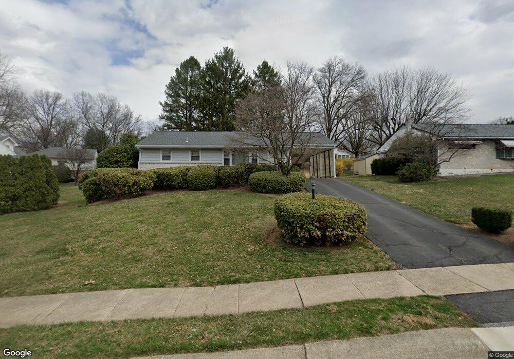
49 Kerrick Rd Reading, PA 19607
Estimated Value: $184,000 - $261,000
2
Beds
1
Bath
912
Sq Ft
$259/Sq Ft
Est. Value
About This Home
This home is located at 49 Kerrick Rd, Reading, PA 19607 and is currently estimated at $235,983, approximately $258 per square foot. 49 Kerrick Rd is a home located in Berks County with nearby schools including Cumru Elementary School, Governor Mifflin Intermediate School, and Governor Mifflin Middle School.
Ownership History
Date
Name
Owned For
Owner Type
Purchase Details
Closed on
Apr 11, 2023
Sold by
Hoffman Clint L
Bought by
Hoffman Clint L
Current Estimated Value
Purchase Details
Closed on
Jun 10, 2005
Sold by
Krick Georgette
Bought by
Hoffman Dennis L and Hoffman Joy L
Create a Home Valuation Report for This Property
The Home Valuation Report is an in-depth analysis detailing your home's value as well as a comparison with similar homes in the area
Home Values in the Area
Average Home Value in this Area
Purchase History
| Date | Buyer | Sale Price | Title Company |
|---|---|---|---|
| Hoffman Clint L | -- | None Listed On Document | |
| Hoffman Dennis L | $130,400 | -- |
Source: Public Records
Tax History
| Year | Tax Paid | Tax Assessment Tax Assessment Total Assessment is a certain percentage of the fair market value that is determined by local assessors to be the total taxable value of land and additions on the property. | Land | Improvement |
|---|---|---|---|---|
| 2025 | $1,152 | $71,300 | $28,800 | $42,500 |
| 2024 | $3,250 | $71,300 | $28,800 | $42,500 |
| 2023 | $3,166 | $71,300 | $28,800 | $42,500 |
| 2022 | $3,130 | $71,300 | $28,800 | $42,500 |
| 2021 | $3,094 | $71,300 | $28,800 | $42,500 |
| 2020 | $3,094 | $71,300 | $28,800 | $42,500 |
| 2019 | $3,059 | $71,300 | $28,800 | $42,500 |
| 2018 | $3,023 | $71,300 | $28,800 | $42,500 |
| 2017 | $2,967 | $71,300 | $28,800 | $42,500 |
Source: Public Records
Map
Nearby Homes
- 31 S Sterley St Unit 401
- 135 Chestnut St
- 200 W Lancaster Ave
- 10 Chesterwood Cir
- 20 Charlemont Ct
- 28 Charlemont Ct
- 17 Charlemont Ct
- 902 Bedford Ave
- 131 E Elm St
- 512 Mifflin Blvd
- 153 E Wyomissing Ave
- 405 State St
- 30 Front St
- 17 E Summit St
- 27 Rosemont Ave
- 26 E Mohn St
- 267 New Castle Dr
- 409 Church Rd
- 202 Museum Rd
- 1 Overview Ct
Your Personal Tour Guide
Ask me questions while you tour the home.