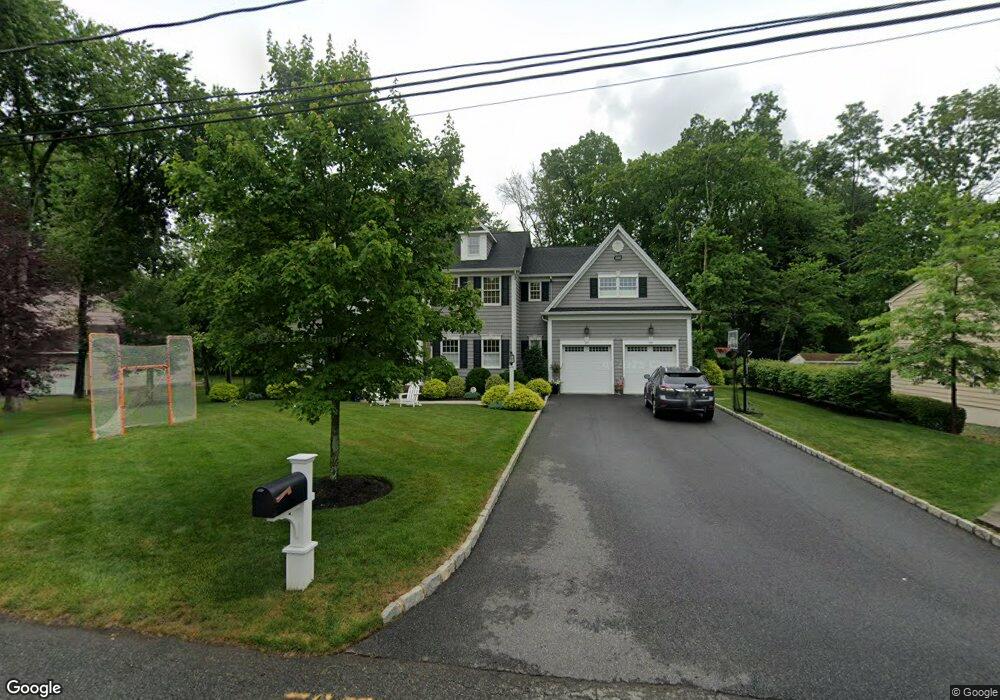
49 Kline Place Berkeley Heights, NJ 07922
Estimated Value: $1,277,186 - $1,625,000
--
Bed
--
Bath
2,920
Sq Ft
$474/Sq Ft
Est. Value
About This Home
This home is located at 49 Kline Place, Berkeley Heights, NJ 07922 and is currently estimated at $1,383,797, approximately $473 per square foot. 49 Kline Place is a home located in Union County with nearby schools including New Providence High School and The Academy of Our Lady of Peace.
Ownership History
Date
Name
Owned For
Owner Type
Purchase Details
Closed on
May 28, 2014
Sold by
Parisi Builders And Developers Llc
Bought by
Sicoli Dean J and Ruhkala Sicoli Karin J
Current Estimated Value
Home Financials for this Owner
Home Financials are based on the most recent Mortgage that was taken out on this home.
Original Mortgage
$836,000
Outstanding Balance
$638,976
Interest Rate
4.33%
Mortgage Type
New Conventional
Estimated Equity
$744,821
Purchase Details
Closed on
Apr 30, 2013
Sold by
Pecca Michael
Bought by
Parisi Builders And Developers Llc
Create a Home Valuation Report for This Property
The Home Valuation Report is an in-depth analysis detailing your home's value as well as a comparison with similar homes in the area
Home Values in the Area
Average Home Value in this Area
Purchase History
| Date | Buyer | Sale Price | Title Company |
|---|---|---|---|
| Sicoli Dean J | $1,045,000 | None Available | |
| Parisi Builders And Developers Llc | $300,000 | None Available |
Source: Public Records
Mortgage History
| Date | Status | Borrower | Loan Amount |
|---|---|---|---|
| Open | Sicoli Dean J | $836,000 |
Source: Public Records
Tax History Compared to Growth
Tax History
| Year | Tax Paid | Tax Assessment Tax Assessment Total Assessment is a certain percentage of the fair market value that is determined by local assessors to be the total taxable value of land and additions on the property. | Land | Improvement |
|---|---|---|---|---|
| 2025 | $23,034 | $537,300 | $156,700 | $380,600 |
| 2024 | $22,701 | $537,300 | $156,700 | $380,600 |
| 2023 | $22,701 | $537,300 | $156,700 | $380,600 |
| 2022 | $22,561 | $537,300 | $156,700 | $380,600 |
| 2021 | $22,438 | $537,300 | $156,700 | $380,600 |
| 2020 | $22,556 | $537,300 | $156,700 | $380,600 |
| 2019 | $22,443 | $537,300 | $156,700 | $380,600 |
| 2018 | $21,976 | $537,300 | $156,700 | $380,600 |
| 2017 | $23,400 | $579,200 | $156,700 | $422,500 |
| 2016 | $22,988 | $579,200 | $156,700 | $422,500 |
| 2015 | $22,861 | $579,200 | $156,700 | $422,500 |
| 2014 | $22,264 | $156,700 | $156,700 | $0 |
Source: Public Records
Map
Nearby Homes
- 132 Fairview Ave
- 41 Meadowview Ln
- 34 Meadowview Ln
- 19 Guenevere Way Ondo
- 33 Bristol Ct
- 30 Robbins Ave
- 11 Earl Place
- 12 Park Edge
- 93 Park Edge Unit 3H
- 66 Evergreen Ave
- 19 Slope Dr
- 11 Etmore Place
- 43 Kuntz Ave
- 61 Kuntz Ave
- 126 Snyder Ave
- 25 Murray Hill Square
- 16 Terrace Rd
- 36 Terrace Rd
- 46 Snyder Ave
- 63 Snyder Ave