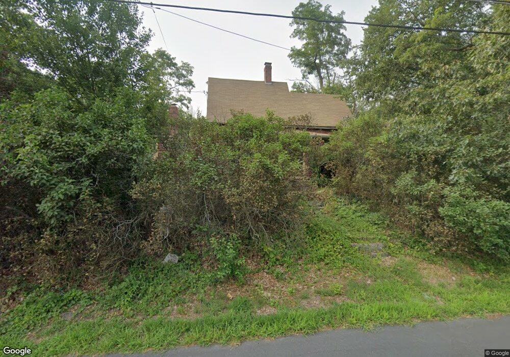
49 Lawrence St Norfolk, MA 02056
Estimated Value: $654,000 - $842,000
3
Beds
2
Baths
1,411
Sq Ft
$523/Sq Ft
Est. Value
About This Home
This home is located at 49 Lawrence St, Norfolk, MA 02056 and is currently estimated at $737,729, approximately $522 per square foot. 49 Lawrence St is a home located in Norfolk County with nearby schools including H. Olive Day School, Freeman-Kennedy School, and Woodside Montessori Academy.
Ownership History
Date
Name
Owned For
Owner Type
Purchase Details
Closed on
Aug 30, 2002
Sold by
Campbell Paul B and Campbell Amy J
Bought by
Burch Adam H and Burch Michele M
Current Estimated Value
Home Financials for this Owner
Home Financials are based on the most recent Mortgage that was taken out on this home.
Original Mortgage
$292,000
Interest Rate
6.55%
Mortgage Type
Purchase Money Mortgage
Purchase Details
Closed on
Jun 30, 1995
Sold by
Lewallen R Gregory
Bought by
Citarell Paul B and Citarell Amy J
Purchase Details
Closed on
Jun 28, 1991
Sold by
Hamlin Bruce E
Bought by
Lewallen R Gregory and Lewallen Denise T
Purchase Details
Closed on
Jun 15, 1988
Sold by
Hamlin Horace R
Bought by
Hamlin Bruce
Create a Home Valuation Report for This Property
The Home Valuation Report is an in-depth analysis detailing your home's value as well as a comparison with similar homes in the area
Home Values in the Area
Average Home Value in this Area
Purchase History
| Date | Buyer | Sale Price | Title Company |
|---|---|---|---|
| Burch Adam H | $365,000 | -- | |
| Citarell Paul B | $179,500 | -- | |
| Lewallen R Gregory | $165,000 | -- | |
| Hamlin Bruce | $80,000 | -- |
Source: Public Records
Mortgage History
| Date | Status | Borrower | Loan Amount |
|---|---|---|---|
| Open | Hamlin Bruce | $259,300 | |
| Closed | Burch Adam H | $292,000 | |
| Previous Owner | Hamlin Bruce | $100,000 |
Source: Public Records
Tax History Compared to Growth
Tax History
| Year | Tax Paid | Tax Assessment Tax Assessment Total Assessment is a certain percentage of the fair market value that is determined by local assessors to be the total taxable value of land and additions on the property. | Land | Improvement |
|---|---|---|---|---|
| 2025 | $8,456 | $529,500 | $221,400 | $308,100 |
| 2024 | $7,483 | $480,600 | $221,400 | $259,200 |
| 2023 | $7,650 | $466,200 | $221,400 | $244,800 |
| 2022 | $8,033 | $441,400 | $207,300 | $234,100 |
| 2021 | $8,572 | $476,500 | $201,200 | $275,300 |
| 2020 | $7,715 | $413,900 | $182,900 | $231,000 |
| 2019 | $7,404 | $404,800 | $182,900 | $221,900 |
| 2018 | $7,130 | $382,900 | $182,900 | $200,000 |
| 2017 | $7,026 | $385,600 | $182,900 | $202,700 |
| 2016 | $7,011 | $387,800 | $182,900 | $204,900 |
| 2015 | $6,744 | $381,900 | $174,200 | $207,700 |
| 2014 | $6,691 | $383,900 | $174,200 | $209,700 |
Source: Public Records
Map
Nearby Homes
- 12 Waites Crossing Way
- 20 Waites Crossing
- 13 Waites Crossing
- 19 Waites Crossing
- 9 Waites Crossing
- 8 Waites Crossing
- 11 Waites Crossing
- 32 Waites Crossing
- 14 Essex St
- 45 Joshua Rd
- 8 Analore Cir
- 8 Meadowlark Ln
- 50 Reed Fulton Ave Unit Lot 61
- 3 & 0 Marthas Way
- 7 Marthas Way
- 23 Fredrickson Rd
- 620 Pleasant St
- 380 Chestnut St
- 14 Robin Rd
- 26 Ridge Rd