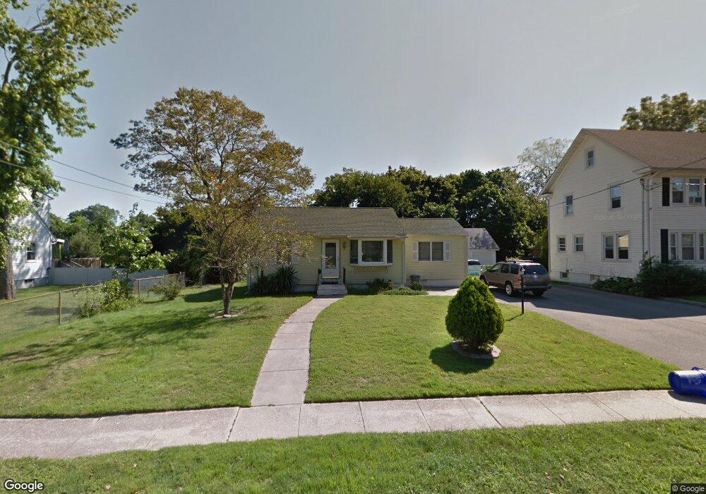
49 Livingston Ave Babylon, NY 11702
Estimated Value: $425,000 - $675,000
--
Bed
--
Bath
1,117
Sq Ft
$513/Sq Ft
Est. Value
About This Home
This home is located at 49 Livingston Ave, Babylon, NY 11702 and is currently estimated at $572,642, approximately $512 per square foot. 49 Livingston Ave is a home located in Suffolk County with nearby schools including Babylon Memorial Grade School, Babylon Elementary School, and Babylon High School.
Ownership History
Date
Name
Owned For
Owner Type
Purchase Details
Closed on
Dec 4, 2021
Sold by
Frank Trapanotto Irt
Bought by
Trapanotto Frank
Current Estimated Value
Purchase Details
Closed on
May 9, 2015
Sold by
Trapanotto Frank
Bought by
Horan Dawn
Purchase Details
Closed on
Apr 9, 2015
Sold by
Horan Dawn
Bought by
Trapanotto Frank
Purchase Details
Closed on
Jun 26, 2013
Sold by
Trapanotto Frank
Bought by
Horan Dawn
Purchase Details
Closed on
Apr 26, 2006
Sold by
Trapanotto Frank Marie
Bought by
Trapanotto Frank
Create a Home Valuation Report for This Property
The Home Valuation Report is an in-depth analysis detailing your home's value as well as a comparison with similar homes in the area
Home Values in the Area
Average Home Value in this Area
Purchase History
| Date | Buyer | Sale Price | Title Company |
|---|---|---|---|
| Trapanotto Frank | -- | None Available | |
| Horan Dawn | -- | None Available | |
| Trapanotto Frank | -- | None Available | |
| Horan Dawn | -- | -- | |
| Trapanotto Frank | -- | James F Quinn | |
| -- | -- | -- |
Source: Public Records
Tax History Compared to Growth
Tax History
| Year | Tax Paid | Tax Assessment Tax Assessment Total Assessment is a certain percentage of the fair market value that is determined by local assessors to be the total taxable value of land and additions on the property. | Land | Improvement |
|---|---|---|---|---|
| 2024 | $2,317 | $2,850 | $390 | $2,460 |
| 2023 | $1,778 | $2,850 | $390 | $2,460 |
| 2022 | $1,336 | $2,850 | $390 | $2,460 |
| 2021 | $1,336 | $2,850 | $390 | $2,460 |
| 2020 | $5,585 | $2,850 | $390 | $2,460 |
| 2019 | $5,574 | $0 | $0 | $0 |
| 2018 | -- | $2,850 | $390 | $2,460 |
| 2017 | $1,176 | $2,850 | $390 | $2,460 |
| 2016 | $1,210 | $2,850 | $390 | $2,460 |
| 2015 | -- | $2,850 | $390 | $2,460 |
| 2014 | -- | $2,850 | $390 | $2,460 |
Source: Public Records
Map
Nearby Homes
- 104 Ralph Ave
- 104 Frederick Ave
- 7 Bailey Ave
- 29 Bailey Ave
- 246 Locust Ave
- 219 Litchfield Ave
- 252 Locust Ave
- 227 N Railroad Ave
- 157 Cadman Ave
- 111 Little East Neck Rd
- 91 Beverly Rd
- 5 Petersen Ct Unit 5
- 24 Lowerre St
- 79 Woodrow Pkwy
- 461 Ann St
- 204 Millard Ave Unit 204
- 162 Millard Ave Unit 162
- 234 Millard Ave Unit 234
- 144 Woodrow Pkwy
- 72 Nehring Ave
- 55 Livingston Ave
- 45 Livingston Ave
- 61 Livingston Ave
- 44 Ralph Ave
- 147 Locust Ave
- 149 Locust Ave
- 38 Ralph Ave
- 52 Ralph Ave
- 68 Livingston Ave
- 58 Ralph Ave
- 56 Livingston Ave
- 54 Ralph Ave
- 56 Ralph Ave
- 67 Livingston Ave
- 44 Livingston Ave
- 60 Livingston Ave
- 72 Ralph Ave
- 36 Livingston Ave
- 66 Livingston Ave
- 73 Livingston Ave