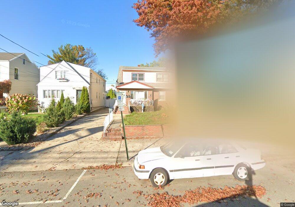
49 Lord Ave Bayonne, NJ 07002
Constable Hook NeighborhoodEstimated Value: $597,000 - $715,745
5
Beds
3
Baths
2,140
Sq Ft
$308/Sq Ft
Est. Value
About This Home
This home is located at 49 Lord Ave, Bayonne, NJ 07002 and is currently estimated at $659,686, approximately $308 per square foot. 49 Lord Ave is a home located in Hudson County with nearby schools including Bayonne High School, All Saints Catholic Academy, and Beacon Christian Academy.
Ownership History
Date
Name
Owned For
Owner Type
Purchase Details
Closed on
Jul 26, 2011
Sold by
Mengo Anthony
Bought by
Nassim Hany
Current Estimated Value
Home Financials for this Owner
Home Financials are based on the most recent Mortgage that was taken out on this home.
Original Mortgage
$234,825
Outstanding Balance
$161,296
Interest Rate
4.4%
Mortgage Type
FHA
Estimated Equity
$498,390
Purchase Details
Closed on
Jun 20, 2007
Sold by
Mengo Anthony
Bought by
Mengo Anthony
Create a Home Valuation Report for This Property
The Home Valuation Report is an in-depth analysis detailing your home's value as well as a comparison with similar homes in the area
Home Values in the Area
Average Home Value in this Area
Purchase History
| Date | Buyer | Sale Price | Title Company |
|---|---|---|---|
| Nassim Hany | $250,000 | -- | |
| Mengo Anthony | -- | None Available |
Source: Public Records
Mortgage History
| Date | Status | Borrower | Loan Amount |
|---|---|---|---|
| Open | Nassim Hany | $234,825 |
Source: Public Records
Tax History Compared to Growth
Tax History
| Year | Tax Paid | Tax Assessment Tax Assessment Total Assessment is a certain percentage of the fair market value that is determined by local assessors to be the total taxable value of land and additions on the property. | Land | Improvement |
|---|---|---|---|---|
| 2025 | $13,052 | $466,800 | $232,000 | $234,800 |
| 2024 | $12,524 | $466,800 | $232,000 | $234,800 |
| 2023 | $12,524 | $466,800 | $232,000 | $234,800 |
| 2022 | $12,291 | $466,800 | $232,000 | $234,800 |
| 2021 | $12,193 | $466,800 | $232,000 | $234,800 |
| 2020 | $11,978 | $466,800 | $232,000 | $234,800 |
| 2019 | $11,202 | $129,800 | $69,600 | $60,200 |
| 2018 | $10,978 | $129,800 | $69,600 | $60,200 |
| 2017 | $10,694 | $129,800 | $69,600 | $60,200 |
| 2016 | $10,300 | $129,800 | $69,600 | $60,200 |
| 2015 | $9,961 | $129,800 | $69,600 | $60,200 |
| 2014 | $10,579 | $142,100 | $69,600 | $72,500 |
Source: Public Records
Map
Nearby Homes
- 7 E 1st St
- 15 Broadway Unit 202
- 108 Lord Ave Unit 110
- 55 W 1st St Unit C6
- 85 Hobart Ave
- 15 Zabriskie Ave Unit 2E
- 27 W 4th St
- 54 W 4th St
- 78 Newman Ave
- 138 Lexington Ave
- 81 W 3rd St
- 73 Newman Ave
- 106 Garretson Ave
- 117 W 2nd St Unit 403
- 69 Humphrey Ave
- 125 W 3rd St
- 145 W 1st St
- 18 Cottage St
- 74 W 6th St
- 93 Evergreen St