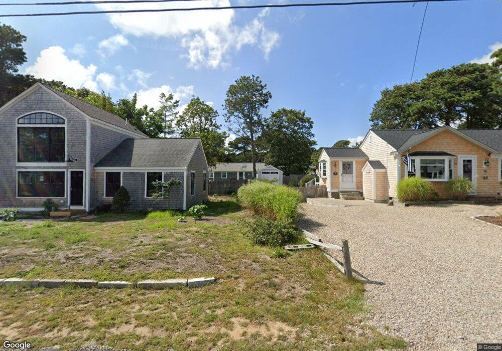
49 Lorree Ln Dennis Port, MA 02639
Dennis Port NeighborhoodEstimated Value: $578,000 - $688,078
3
Beds
2
Baths
1,229
Sq Ft
$531/Sq Ft
Est. Value
About This Home
This home is located at 49 Lorree Ln, Dennis Port, MA 02639 and is currently estimated at $653,020, approximately $531 per square foot. 49 Lorree Ln is a home located in Barnstable County with nearby schools including Dennis-Yarmouth Regional High School and St. Pius X. School.
Ownership History
Date
Name
Owned For
Owner Type
Purchase Details
Closed on
Jul 10, 2006
Sold by
Flemming David S and Flemming James L
Bought by
Flemming Karen Ann and Flemming William Kirk
Current Estimated Value
Home Financials for this Owner
Home Financials are based on the most recent Mortgage that was taken out on this home.
Original Mortgage
$166,000
Outstanding Balance
$98,278
Interest Rate
6.6%
Estimated Equity
$554,742
Purchase Details
Closed on
Jun 6, 2005
Sold by
Flemming Steven J
Bought by
Flemming David S and Flemming James L
Create a Home Valuation Report for This Property
The Home Valuation Report is an in-depth analysis detailing your home's value as well as a comparison with similar homes in the area
Home Values in the Area
Average Home Value in this Area
Purchase History
| Date | Buyer | Sale Price | Title Company |
|---|---|---|---|
| Flemming Karen Ann | -- | -- | |
| Flemming David S | $5,000 | -- |
Source: Public Records
Mortgage History
| Date | Status | Borrower | Loan Amount |
|---|---|---|---|
| Open | Flemming Karen Ann | $166,000 |
Source: Public Records
Tax History Compared to Growth
Tax History
| Year | Tax Paid | Tax Assessment Tax Assessment Total Assessment is a certain percentage of the fair market value that is determined by local assessors to be the total taxable value of land and additions on the property. | Land | Improvement |
|---|---|---|---|---|
| 2025 | $2,605 | $601,600 | $202,200 | $399,400 |
| 2024 | $2,451 | $558,300 | $194,500 | $363,800 |
| 2023 | $2,371 | $507,700 | $176,800 | $330,900 |
| 2022 | $2,240 | $400,000 | $159,300 | $240,700 |
| 2021 | $2,288 | $379,400 | $178,400 | $201,000 |
| 2020 | $2,066 | $338,700 | $156,100 | $182,600 |
| 2019 | $1,948 | $315,700 | $153,100 | $162,600 |
| 2018 | $1,850 | $291,800 | $145,700 | $146,100 |
| 2017 | $1,702 | $276,800 | $135,300 | $141,500 |
| 2016 | $1,732 | $265,300 | $145,700 | $119,600 |
| 2015 | $1,698 | $265,300 | $145,700 | $119,600 |
| 2014 | $1,553 | $244,500 | $124,900 | $119,600 |
Source: Public Records
Map
Nearby Homes
- 18 Holiday Ln
- 80 Michaels Ave
- 72 Bassett Ln
- 4 Coffey Ln
- 22 Ferncliff Rd
- 125 Main St Unit 3
- 37 Beach Hills Rd
- 268 Main St
- 37-A Beach Hills Rd
- 71 Main St
- 104 Toms Path
- 104 Toms Path
- 262 Old Wharf Rd Unit 67
- 262 Old Wharf Rd Unit 5
- 262 Old Wharf Rd Unit 5
- 262 Old Wharf Rd Unit 87
- 37 Ocean Dr Unit 2
- 64 Beaten Rd
- 102 Sea St
- 241 Old Wharf Rd Unit 82
- 8 3rd Mate Row
- 9 Quartermaster Row
- 5 Quartermaster Row
- 4 3rd Mate Row
- 3 Quartermaster Row
- 35 Easy St
- 41 Lorree Ln
- 7 3rd Mate Row
- 46 Captain Chase Rd
- 27 Easy St
- 44 Captain Chase Rd
- 3 3rd Mate Row
- 37 Easy St
- 10 Quartermaster Row
- 6 Quartermaster Row
- 54 Captain Chase Rd
- 23 Easy St
- 0 Easy St Unit 68-7 2013680
- 0 Easy St Unit 1-2
- 37 Lorree Ln