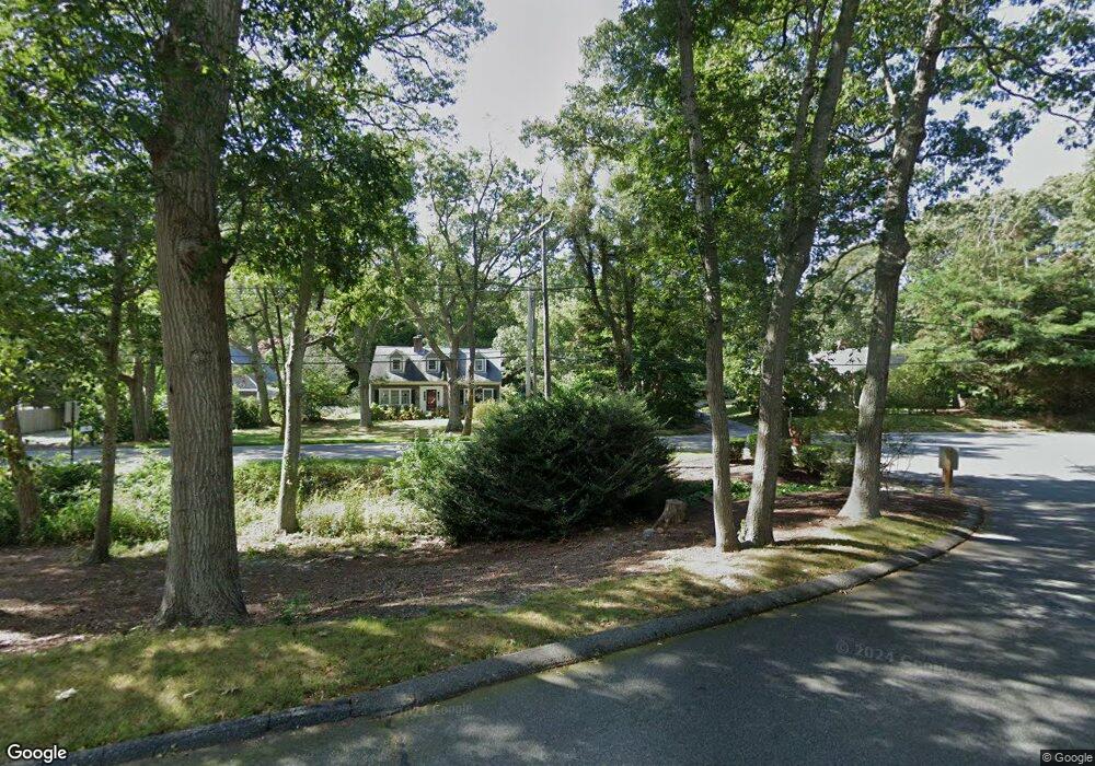
49 Main St Dennis, MA 02638
Dennis Village NeighborhoodEstimated Value: $521,164
--
Bed
--
Bath
1,880
Sq Ft
$277/Sq Ft
Est. Value
About This Home
This home is located at 49 Main St, Dennis, MA 02638 and is currently estimated at $521,164, approximately $277 per square foot. 49 Main St is a home located in Barnstable County with nearby schools including Dennis-Yarmouth Regional High School.
Ownership History
Date
Name
Owned For
Owner Type
Purchase Details
Closed on
Mar 15, 2023
Sold by
Kaldis Maria
Bought by
Super Bunny Llc
Current Estimated Value
Home Financials for this Owner
Home Financials are based on the most recent Mortgage that was taken out on this home.
Original Mortgage
$250,000
Outstanding Balance
$241,524
Interest Rate
6.09%
Mortgage Type
Purchase Money Mortgage
Estimated Equity
$279,640
Purchase Details
Closed on
Sep 27, 2013
Sold by
Kaldis Elias and Kaldis Rita
Bought by
Kaldis Elias and Kaldis Maria
Purchase Details
Closed on
Aug 30, 1993
Sold by
Cape Cod B & T Co
Bought by
Kaldis Elias
Purchase Details
Closed on
Jun 1, 1993
Sold by
Kelley Franklin and Cape Cod Bk & Tr Co
Bought by
Cape Cod B & T Co
Create a Home Valuation Report for This Property
The Home Valuation Report is an in-depth analysis detailing your home's value as well as a comparison with similar homes in the area
Home Values in the Area
Average Home Value in this Area
Purchase History
| Date | Buyer | Sale Price | Title Company |
|---|---|---|---|
| Super Bunny Llc | $439,000 | None Available | |
| Super Bunny Llc | $439,000 | None Available | |
| Super Bunny Llc | $439,000 | None Available | |
| Kaldis Elias | -- | -- | |
| Kaldis Elias | -- | -- | |
| Kaldis Elias | -- | -- | |
| Kaldis Elias | $63,000 | -- | |
| Kaldis Elias | $63,000 | -- | |
| Cape Cod B & T Co | $82,000 | -- | |
| Cape Cod B & T Co | $82,000 | -- |
Source: Public Records
Mortgage History
| Date | Status | Borrower | Loan Amount |
|---|---|---|---|
| Open | Super Bunny Llc | $250,000 | |
| Closed | Super Bunny Llc | $250,000 |
Source: Public Records
Tax History Compared to Growth
Tax History
| Year | Tax Paid | Tax Assessment Tax Assessment Total Assessment is a certain percentage of the fair market value that is determined by local assessors to be the total taxable value of land and additions on the property. | Land | Improvement |
|---|---|---|---|---|
| 2025 | $2,226 | $514,100 | $348,400 | $165,700 |
| 2024 | $2,964 | $675,200 | $335,700 | $339,500 |
| 2023 | $3,001 | $642,700 | $319,700 | $323,000 |
| 2022 | $3,394 | $606,000 | $301,600 | $304,400 |
| 2021 | $3,222 | $587,300 | $295,700 | $291,600 |
| 2020 | $3,551 | $582,100 | $294,100 | $288,000 |
| 2019 | $3,574 | $579,200 | $294,100 | $285,100 |
| 2018 | $3,680 | $580,400 | $294,100 | $286,300 |
| 2017 | $3,569 | $580,400 | $294,100 | $286,300 |
| 2016 | $3,796 | $581,300 | $294,100 | $287,200 |
| 2015 | $3,621 | $565,800 | $294,100 | $271,700 |
| 2014 | $3,536 | $556,800 | $294,100 | $262,700 |
Source: Public Records
Map
Nearby Homes
- 59 Main St Unit 19-2
- 59 Route 6a Unit 29-4
- 51 Bray Farm Rd N
- 268 Main St
- 6 Nimble Hill Dr
- 42 John Hall Cartway Unit 42
- 64 Kates Path
- 50 John Hall Cartway
- 50 John Hall Cartway Unit 50
- 44 Stratford Ln
- 34 Kates Path
- 34 Kates Path Unit 34
- 228 Kates Path
- 17 Kates Path Unit A
- 13 Covey Dr
- 6 Thomas Ct
- 43 Canterbury Rd
- 15 Signal Hill Dr
- 35 Crown Grant Dr
- 111 Merchant Ave
- 120 Main St
- 568 Route 6a
- 120 Route 6a
- 130 Main St
- 130 Main St (Rt 28)
- 71 Main St
- 1020 Route 6a
- 130 Main Route 6a St
- 59 Cranberry Knoll Condo St Unit U1-2
- 59 Cranberry Knoll Condo St Unit U41-2
- 25 Embassy St
- 1014 Route 6a
- 33 Embassy Ln
- 25 Embassy Ln
- 33 Embassy St
- 19 Embassy St
- 19 Embassy Ln
- 140 Main St
- 140 Route 6a
- 2 Longfellow Dr