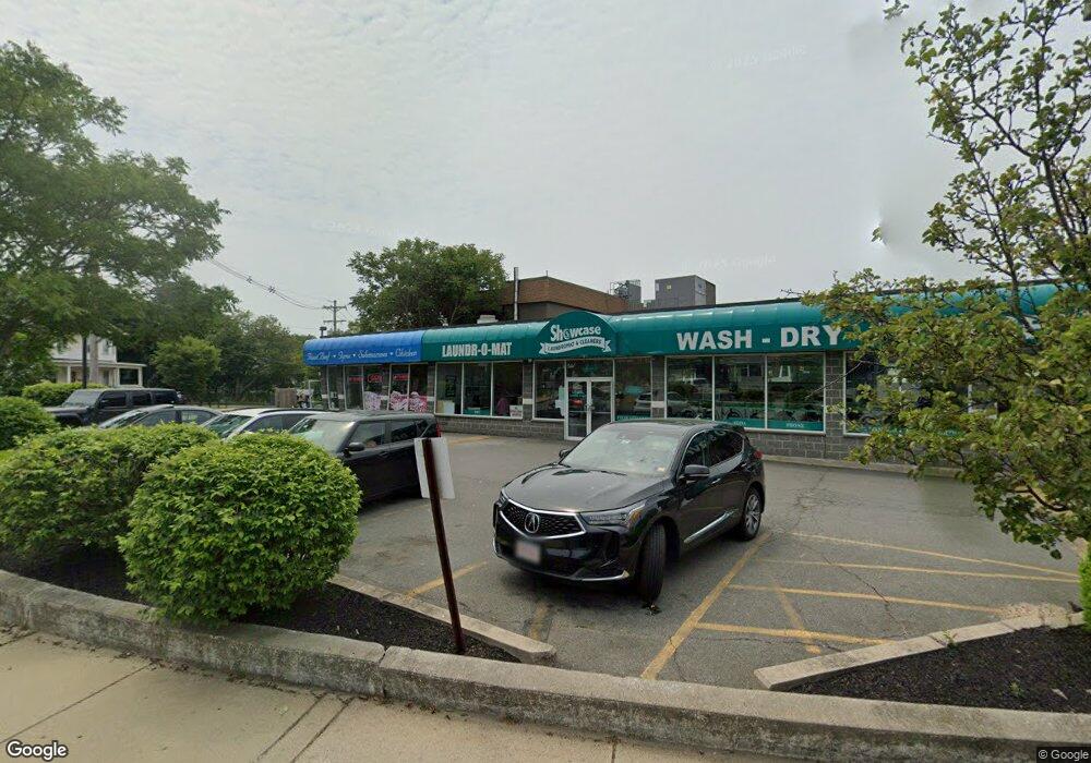
49 Main St Winthrop, MA 02152
Downtown Winthrop NeighborhoodEstimated Value: $2,163,453
Studio
2
Baths
3,024
Sq Ft
$715/Sq Ft
Est. Value
About This Home
This home is located at 49 Main St, Winthrop, MA 02152 and is currently estimated at $2,163,453, approximately $715 per square foot. 49 Main St is a home located in Suffolk County with nearby schools including William P. Gorman/Fort Banks Elementary School, Arthur T. Cummings Elementary School, and Winthrop Middle School.
Ownership History
Date
Name
Owned For
Owner Type
Purchase Details
Closed on
May 22, 2019
Sold by
Arlington Center Garage
Bought by
Harborside Realty Llc
Current Estimated Value
Purchase Details
Closed on
May 27, 2011
Sold by
Kac Rt
Bought by
Obl Llc
Purchase Details
Closed on
May 28, 2004
Sold by
Kel Did Well Inc
Bought by
Kac Rt
Purchase Details
Closed on
Aug 21, 2002
Sold by
Wasco Rt
Bought by
Kel Did Well Inc
Home Financials for this Owner
Home Financials are based on the most recent Mortgage that was taken out on this home.
Original Mortgage
$1,360,000
Interest Rate
6.57%
Mortgage Type
Purchase Money Mortgage
Purchase Details
Closed on
Aug 25, 1999
Sold by
Femia Jean F
Bought by
Wasco Rt
Home Financials for this Owner
Home Financials are based on the most recent Mortgage that was taken out on this home.
Original Mortgage
$580,000
Interest Rate
7.83%
Mortgage Type
Commercial
Purchase Details
Closed on
Dec 15, 1997
Sold by
Femia Joseph P and Femia Jean F
Bought by
Woodside Rt
Create a Home Valuation Report for This Property
The Home Valuation Report is an in-depth analysis detailing your home's value as well as a comparison with similar homes in the area
Home Values in the Area
Average Home Value in this Area
Purchase History
| Date | Buyer | Sale Price | Title Company |
|---|---|---|---|
| Harborside Realty Llc | $1,375,000 | -- | |
| Obl Llc | $450,000 | -- | |
| Kac Rt | -- | -- | |
| Kel Did Well Inc | $930,000 | -- | |
| Wasco Rt | $325,000 | -- | |
| Woodside Rt | $30,000 | -- |
Source: Public Records
Mortgage History
| Date | Status | Borrower | Loan Amount |
|---|---|---|---|
| Previous Owner | Woodside Rt | $1,360,000 | |
| Previous Owner | Woodside Rt | $580,000 | |
| Previous Owner | Woodside Rt | $260,000 |
Source: Public Records
Tax History
| Year | Tax Paid | Tax Assessment Tax Assessment Total Assessment is a certain percentage of the fair market value that is determined by local assessors to be the total taxable value of land and additions on the property. | Land | Improvement |
|---|---|---|---|---|
| 2025 | $9,012 | $873,300 | $661,500 | $211,800 |
| 2024 | $8,999 | $863,600 | $661,500 | $202,100 |
| 2023 | $9,111 | $851,500 | $661,500 | $190,000 |
| 2022 | $8,896 | $756,500 | $590,700 | $165,800 |
| 2021 | $8,158 | $643,400 | $477,600 | $165,800 |
| 2020 | $8,120 | $643,400 | $477,600 | $165,800 |
| 2019 | $7,900 | $599,400 | $450,500 | $148,900 |
| 2018 | $7,736 | $546,300 | $402,300 | $144,000 |
| 2017 | $7,892 | $547,700 | $402,300 | $145,400 |
| 2016 | $7,273 | $473,200 | $329,600 | $143,600 |
| 2015 | $6,735 | $469,700 | $326,100 | $143,600 |
| 2014 | $7,039 | $451,800 | $308,200 | $143,600 |
Source: Public Records
Map
Nearby Homes
- 56 Main St
- 14 Pleasant Park Rd
- 550 Pleasant St Unit 506
- 45 Read St
- 9 Atlantic St Unit 2
- 20 Nancia St
- 426 Winthrop St
- 441 Winthrop St
- 270 Winthrop St Unit 2
- 100 Governors Dr Unit 118
- 800 Governors Dr Unit 6
- 800 Governors Dr Unit 30
- 35 Somerset Ave Unit 6
- 1203 Bennington St
- 10 Somerset Ave Unit 403
- 10 Somerset Ave Unit 404
- 10 Somerset Ave Unit 401
- 10 Somerset Ave Unit 304
- 10 Somerset Ave Unit 408
- 10 Somerset Ave Unit 201