49 Maine Dr Cropwell, AL 35054
Estimated Value: $408,069 - $692,000
3
Beds
3
Baths
2,291
Sq Ft
$227/Sq Ft
Est. Value
About This Home
This home is located at 49 Maine Dr, Cropwell, AL 35054 and is currently estimated at $519,767, approximately $226 per square foot. 49 Maine Dr is a home located in St. Clair County.
Ownership History
Date
Name
Owned For
Owner Type
Purchase Details
Closed on
May 2, 2024
Sold by
Shunk William E and Shunk Janine
Bought by
Hughes Donald Keith
Current Estimated Value
Home Financials for this Owner
Home Financials are based on the most recent Mortgage that was taken out on this home.
Original Mortgage
$70,000
Outstanding Balance
$69,017
Interest Rate
6.87%
Mortgage Type
New Conventional
Estimated Equity
$450,750
Purchase Details
Closed on
Sep 6, 2005
Sold by
Watson Hershel J and Watson James Michael
Bought by
Shunk William E and Shunk Janine
Create a Home Valuation Report for This Property
The Home Valuation Report is an in-depth analysis detailing your home's value as well as a comparison with similar homes in the area
Home Values in the Area
Average Home Value in this Area
Purchase History
| Date | Buyer | Sale Price | Title Company |
|---|---|---|---|
| Hughes Donald Keith | $193,000 | None Listed On Document | |
| Shunk William E | $54,000 | None Available |
Source: Public Records
Mortgage History
| Date | Status | Borrower | Loan Amount |
|---|---|---|---|
| Open | Hughes Donald Keith | $70,000 |
Source: Public Records
Tax History Compared to Growth
Tax History
| Year | Tax Paid | Tax Assessment Tax Assessment Total Assessment is a certain percentage of the fair market value that is determined by local assessors to be the total taxable value of land and additions on the property. | Land | Improvement |
|---|---|---|---|---|
| 2024 | $2,456 | $68,228 | $13,720 | $54,508 |
| 2023 | $2,456 | $60,718 | $14,560 | $46,158 |
| 2022 | $2,186 | $60,718 | $14,560 | $46,158 |
| 2021 | $1,696 | $60,718 | $14,560 | $46,158 |
| 2020 | $1,696 | $54,706 | $14,560 | $40,146 |
| 2019 | $1,686 | $27,197 | $7,280 | $19,917 |
| 2018 | $1,548 | $49,940 | $0 | $0 |
| 2017 | $789 | $49,940 | $0 | $0 |
| 2016 | $1,548 | $49,940 | $0 | $0 |
| 2015 | $789 | $49,940 | $0 | $0 |
| 2014 | $709 | $24,420 | $0 | $0 |
Source: Public Records
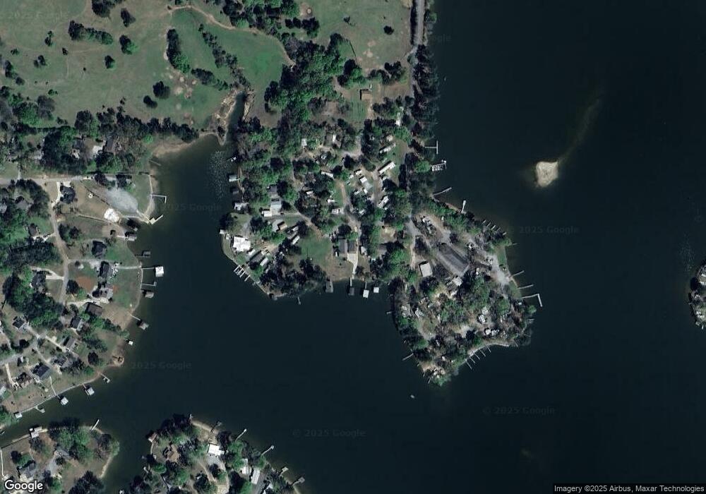
Map
Nearby Homes
- 145 Maine Dr
- 250 Main St
- 35 Lynngate Cir Unit 2
- 25 Lynngate Cir Unit 1
- 40 Lynngate Cir Unit 4
- 155 Coosa Dr
- 15 Old Road Way
- 112 Shady Ln
- 145 Fish Trap Rd
- 271 Fish Trap Rd
- 00 Homestead Dr
- 385 Fish Trap Rd
- 265 Lakeland Hills Dr
- 387 Lakeland Ct
- 70 Choice Cir Unit 12-19
- 0 Mount View Ln Unit 1
- 68 Ray Sparks Dr
- 840 Black Acres Rd
- 881 Ridgeway Cir
- 0 Ridgeway Cir Unit 59 21432252