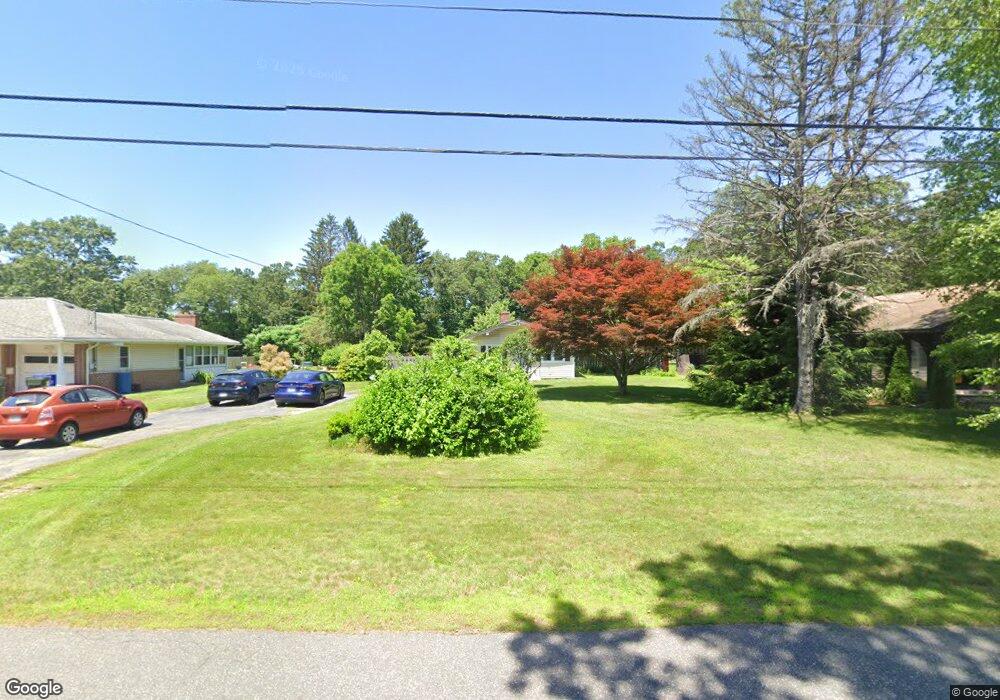
49 Manchonis Rd Wilbraham, MA 01095
Estimated Value: $315,875 - $367,000
2
Beds
1
Bath
980
Sq Ft
$343/Sq Ft
Est. Value
About This Home
This home is located at 49 Manchonis Rd, Wilbraham, MA 01095 and is currently estimated at $335,969, approximately $342 per square foot. 49 Manchonis Rd is a home located in Hampden County with nearby schools including Minnechaug Regional High School, St John The Baptist School, and Wilbraham & Monson Academy.
Ownership History
Date
Name
Owned For
Owner Type
Purchase Details
Closed on
Mar 20, 2015
Sold by
Hatten Daniel L and Hatten Margaret W
Bought by
Hatten Daniel L
Current Estimated Value
Purchase Details
Closed on
Oct 9, 2001
Sold by
Rutherford Robin M
Bought by
Hatten Daniel L and Hatten Margaret W
Purchase Details
Closed on
Apr 18, 1997
Sold by
Wolcott Jeffrey F
Bought by
Rutherford Robin M
Purchase Details
Closed on
May 31, 1991
Sold by
Audette Joseph A and Audette Susan
Bought by
Wolcott Jeffrey F
Create a Home Valuation Report for This Property
The Home Valuation Report is an in-depth analysis detailing your home's value as well as a comparison with similar homes in the area
Home Values in the Area
Average Home Value in this Area
Purchase History
| Date | Buyer | Sale Price | Title Company |
|---|---|---|---|
| Hatten Daniel L | -- | -- | |
| Hatten Daniel L | $115,000 | -- | |
| Rutherford Robin M | $95,500 | -- | |
| Wolcott Jeffrey F | $100,000 | -- |
Source: Public Records
Mortgage History
| Date | Status | Borrower | Loan Amount |
|---|---|---|---|
| Previous Owner | Wolcott Jeffrey F | $107,873 | |
| Previous Owner | Wolcott Jeffrey F | $118,450 |
Source: Public Records
Tax History
| Year | Tax Paid | Tax Assessment Tax Assessment Total Assessment is a certain percentage of the fair market value that is determined by local assessors to be the total taxable value of land and additions on the property. | Land | Improvement |
|---|---|---|---|---|
| 2025 | $4,976 | $278,300 | $70,400 | $207,900 |
| 2024 | $4,810 | $260,000 | $70,400 | $189,600 |
| 2023 | $4,489 | $258,400 | $70,400 | $188,000 |
| 2022 | $4,489 | $219,100 | $70,400 | $148,700 |
| 2021 | $4,323 | $188,300 | $81,700 | $106,600 |
| 2020 | $4,214 | $188,300 | $81,700 | $106,600 |
| 2019 | $4,107 | $188,400 | $81,700 | $106,700 |
| 2018 | $3,892 | $171,900 | $81,700 | $90,200 |
| 2017 | $3,782 | $171,900 | $81,700 | $90,200 |
| 2016 | $3,545 | $164,100 | $81,400 | $82,700 |
| 2015 | $3,358 | $160,800 | $81,400 | $79,400 |
Source: Public Records
Map
Nearby Homes
- 46 Washington Rd
- 4 Hillcrest Dr
- 35 Lake Dr
- 104 High Pine Cir
- 1 Aspen Dr
- 3 Mohawk St
- 22 Brainard Rd
- 6 Teak Terrace Unit 24
- 16 Maple St
- 57 Sandalwood Dr Unit site 61
- 103 Sandalwood Dr Unit site 00
- 111 Sandalwood Dr Unit site 00
- 84 Sandalwood Dr Unit site 00
- 36 Maple St
- 24 Lodge Ln Unit 24
- 67 Hill Terrace
- 2205 Boston Rd Unit E43
- 2205 Boston Rd Unit M120
- 26 Sandalwood Dr
- 25 Dale St
- 45 Manchonis Rd
- 51 Manchonis Rd
- 53 Manchonis Rd
- 41 Manchonis Rd
- 42 Manchonis Rd
- 48 Manchonis Rd
- 57 Manchonis Rd
- 39 Manchonis Rd
- 50 Manchonis Rd
- 70 Grant St
- 15 Wilson St
- 4 Grant St
- 46 Manchonis Rd
- 38 Manchonis Rd
- 60 Manchonis Rd
- 37 Manchonis Rd
- 62 Manchonis Rd
- 34 Manchonis Rd
- 33 Manchonis Rd
- 11 Wilson St Unit 13
Your Personal Tour Guide
Ask me questions while you tour the home.