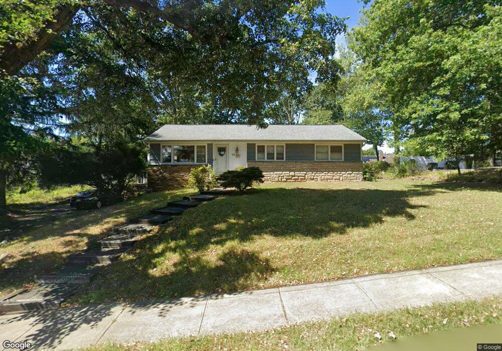
49 Manger Rd West Orange, NJ 07052
Estimated Value: $530,000 - $644,000
--
Bed
--
Bath
1,248
Sq Ft
$481/Sq Ft
Est. Value
About This Home
This home is located at 49 Manger Rd, West Orange, NJ 07052 and is currently estimated at $600,335, approximately $481 per square foot. 49 Manger Rd is a home located in Essex County with nearby schools including West Orange High School, Golda Och Academy, and Mount Carmel Guild High School.
Ownership History
Date
Name
Owned For
Owner Type
Purchase Details
Closed on
Sep 19, 2005
Sold by
Barnes George
Bought by
Wtizig Samuel and Witzig Katherine
Current Estimated Value
Home Financials for this Owner
Home Financials are based on the most recent Mortgage that was taken out on this home.
Original Mortgage
$293,600
Outstanding Balance
$157,274
Interest Rate
5.87%
Mortgage Type
Adjustable Rate Mortgage/ARM
Estimated Equity
$443,061
Purchase Details
Closed on
Aug 4, 2004
Sold by
Howald Arno
Bought by
Fregans Donald and Fregans Mary
Create a Home Valuation Report for This Property
The Home Valuation Report is an in-depth analysis detailing your home's value as well as a comparison with similar homes in the area
Home Values in the Area
Average Home Value in this Area
Purchase History
| Date | Buyer | Sale Price | Title Company |
|---|---|---|---|
| Wtizig Samuel | $367,000 | -- | |
| Fregans Donald | $97,003 | -- |
Source: Public Records
Mortgage History
| Date | Status | Borrower | Loan Amount |
|---|---|---|---|
| Open | Wtizig Samuel | $293,600 |
Source: Public Records
Tax History Compared to Growth
Tax History
| Year | Tax Paid | Tax Assessment Tax Assessment Total Assessment is a certain percentage of the fair market value that is determined by local assessors to be the total taxable value of land and additions on the property. | Land | Improvement |
|---|---|---|---|---|
| 2025 | $12,304 | $610,400 | $348,900 | $261,500 |
| 2024 | $12,304 | $267,600 | $156,000 | $111,600 |
| 2022 | $11,873 | $267,600 | $156,000 | $111,600 |
| 2021 | $11,651 | $267,600 | $156,000 | $111,600 |
| 2020 | $11,464 | $267,600 | $156,000 | $111,600 |
| 2019 | $11,135 | $267,600 | $156,000 | $111,600 |
| 2018 | $10,806 | $267,600 | $156,000 | $111,600 |
| 2017 | $10,667 | $267,600 | $156,000 | $111,600 |
| 2016 | $10,410 | $267,600 | $156,000 | $111,600 |
| 2015 | $10,214 | $267,600 | $156,000 | $111,600 |
| 2014 | $10,014 | $267,600 | $156,000 | $111,600 |
Source: Public Records
Map
Nearby Homes
- 29 Carolina Ave
- 33 Mcguire Dr
- 28 Mcguire Dr
- 27 Morris Rd
- 75 Nance Rd
- 863 Pleasant Valley Way
- 29 Crestmont Rd
- 26 Crestmont Rd
- 18 Belle Terre Rd
- 11 Buckingham Rd
- 7 Buckingham Rd
- 7 Cheshire Terrace
- 7 Wessman Dr
- 163 Marion Dr
- 149 Marion Dr
- 173 Marion Dr
- 149 Marion Dr Unit 145
- 145 Marion Dr Unit 145
- 18 Sunnyside Rd
- 12 Chelsea Dr