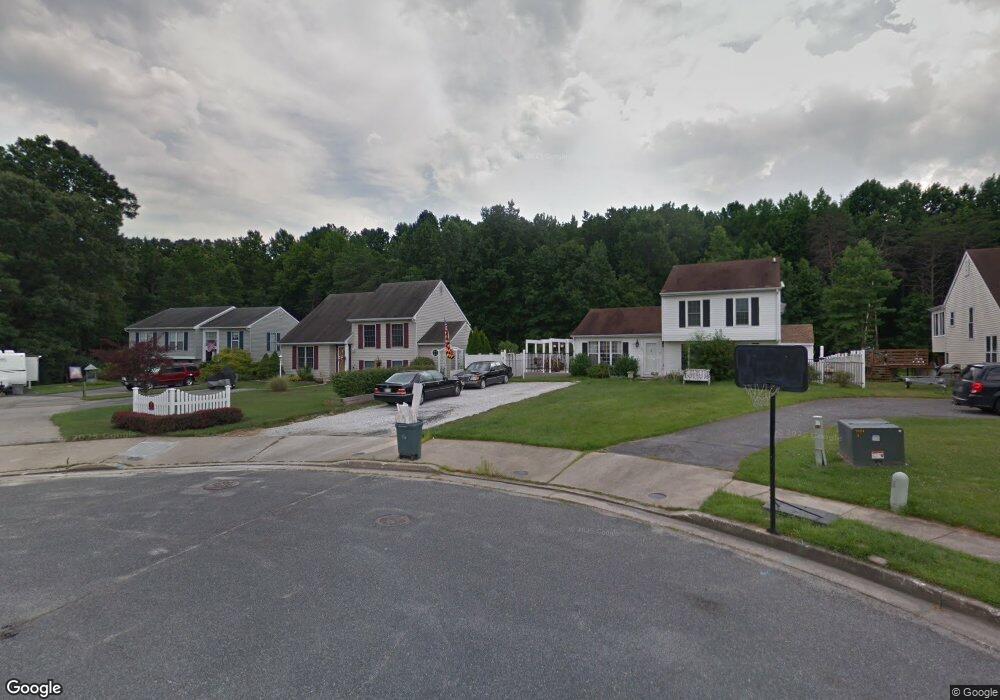
49 Maxa Ct Middle River, MD 21220
Estimated Value: $363,000 - $407,628
Studio
1
Bath
2,360
Sq Ft
$162/Sq Ft
Est. Value
About This Home
This home is located at 49 Maxa Ct, Middle River, MD 21220 and is currently estimated at $381,157, approximately $161 per square foot. 49 Maxa Ct is a home located in Baltimore County with nearby schools including Oliver Beach Elementary, Middle River Middle School, and Kenwood High.
Ownership History
Date
Name
Owned For
Owner Type
Purchase Details
Closed on
Apr 5, 2006
Sold by
Apostolou Michael B
Bought by
Apostolou Michael B
Current Estimated Value
Home Financials for this Owner
Home Financials are based on the most recent Mortgage that was taken out on this home.
Original Mortgage
$226,400
Outstanding Balance
$129,427
Interest Rate
6.27%
Mortgage Type
Purchase Money Mortgage
Estimated Equity
$251,730
Purchase Details
Closed on
Jan 26, 2006
Sold by
Apostolou Michael B
Bought by
Apostolou Michael B
Home Financials for this Owner
Home Financials are based on the most recent Mortgage that was taken out on this home.
Original Mortgage
$226,400
Interest Rate
6.27%
Mortgage Type
Purchase Money Mortgage
Purchase Details
Closed on
Nov 14, 1988
Sold by
Bay Country Join T Venture
Bought by
Apostolou Michael B
Create a Home Valuation Report for This Property
The Home Valuation Report is an in-depth analysis detailing your home's value as well as a comparison with similar homes in the area
Purchase History
| Date | Buyer | Sale Price | Title Company |
|---|---|---|---|
| Apostolou Michael B | $283,000 | -- | |
| Apostolou Michael B | $283,000 | -- | |
| Apostolou Michael B | $99,000 | -- |
Source: Public Records
Mortgage History
| Date | Status | Borrower | Loan Amount |
|---|---|---|---|
| Open | Apostolou Michael B | $226,400 | |
| Previous Owner | Apostolou Michael B | $226,400 |
Source: Public Records
Tax History
| Year | Tax Paid | Tax Assessment Tax Assessment Total Assessment is a certain percentage of the fair market value that is determined by local assessors to be the total taxable value of land and additions on the property. | Land | Improvement |
|---|---|---|---|---|
| 2025 | $4,643 | $344,533 | -- | -- |
| 2024 | $4,643 | $316,467 | $0 | $0 |
| 2023 | $2,376 | $288,400 | $86,900 | $201,500 |
| 2022 | $4,198 | $280,600 | $0 | $0 |
| 2021 | $4,094 | $272,800 | $0 | $0 |
| 2020 | $4,094 | $265,000 | $86,900 | $178,100 |
| 2019 | $4,228 | $264,233 | $0 | $0 |
| 2018 | $4,167 | $263,467 | $0 | $0 |
| 2017 | $4,013 | $262,700 | $0 | $0 |
| 2016 | $3,747 | $257,967 | $0 | $0 |
| 2015 | $3,747 | $253,233 | $0 | $0 |
| 2014 | $3,747 | $248,500 | $0 | $0 |
Source: Public Records
Map
Nearby Homes
- 7114 Oliver Beach Rd
- 7230 Gunpowder Rd
- 0 Greenbank Rd Unit MDBC2144858
- 7336 Chesapeake Rd
- 7051 Greenbank Rd
- 7361 Chesapeake Rd
- 13226 Susquehanna Rd
- 7343 Greenbank Rd
- 13202 Cherwin Ave
- 6714 Cornell Rd
- 6812 Schaadts Rd
- 6800 Gunder Ave
- 12209 Eastern Ave
- 6609 Blackhead Rd
- 14 Mango Trail
- 11 Hammock Trail
- 18 Hammock Trail
- 7515 Schooner Ln
- 116 Trails Way
- 6710 Camden St
Your Personal Tour Guide
Ask me questions while you tour the home.