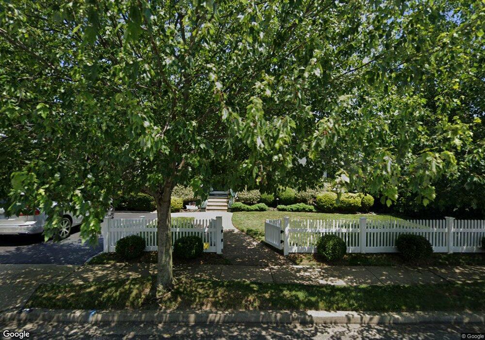
49 Mccord Ave Merrick, NY 11566
Estimated Value: $641,980 - $780,000
--
Bed
2
Baths
1,622
Sq Ft
$438/Sq Ft
Est. Value
About This Home
This home is located at 49 Mccord Ave, Merrick, NY 11566 and is currently estimated at $710,990, approximately $438 per square foot. 49 Mccord Ave is a home located in Nassau County with nearby schools including Merrick Avenue Middle School, Sanford H Calhoun High School, and Grace Christian Academy.
Ownership History
Date
Name
Owned For
Owner Type
Purchase Details
Closed on
Apr 28, 2021
Sold by
Sklover Alan L
Bought by
Sklover Trust
Current Estimated Value
Purchase Details
Closed on
Jul 22, 1999
Sold by
Lamberta Geoffrey A and Lamberta Christine A
Bought by
Sklover Alan L
Home Financials for this Owner
Home Financials are based on the most recent Mortgage that was taken out on this home.
Original Mortgage
$233,100
Interest Rate
6.75%
Create a Home Valuation Report for This Property
The Home Valuation Report is an in-depth analysis detailing your home's value as well as a comparison with similar homes in the area
Home Values in the Area
Average Home Value in this Area
Purchase History
| Date | Buyer | Sale Price | Title Company |
|---|---|---|---|
| Sklover Trust | -- | None Available | |
| Sklover Alan L | $259,000 | First American Title Ins Co |
Source: Public Records
Mortgage History
| Date | Status | Borrower | Loan Amount |
|---|---|---|---|
| Previous Owner | Sklover Alan L | $233,100 |
Source: Public Records
Tax History Compared to Growth
Tax History
| Year | Tax Paid | Tax Assessment Tax Assessment Total Assessment is a certain percentage of the fair market value that is determined by local assessors to be the total taxable value of land and additions on the property. | Land | Improvement |
|---|---|---|---|---|
| 2025 | $13,447 | $443 | $184 | $259 |
| 2024 | $3,007 | $437 | $181 | $256 |
| 2023 | $12,538 | $458 | $190 | $268 |
| 2022 | $12,538 | $458 | $190 | $268 |
| 2021 | $16,601 | $451 | $187 | $264 |
| 2020 | $11,601 | $571 | $570 | $1 |
| 2019 | $10,329 | $611 | $589 | $22 |
| 2018 | $8,753 | $652 | $0 | $0 |
| 2017 | $5,904 | $693 | $523 | $170 |
| 2016 | $8,630 | $734 | $554 | $180 |
| 2015 | $3,004 | $832 | $628 | $204 |
| 2014 | $3,004 | $832 | $628 | $204 |
| 2013 | $2,884 | $768 | $628 | $140 |
Source: Public Records
Map
Nearby Homes
- 2291 Girard Place
- 2991 Girard Place
- 131 Gregory Ave
- 49 Princeton Place
- 10 Central Pkwy
- 174 Babylon Turnpike
- 1674 Birch Dr
- 179 Commonwealth Ave
- 25 Babylon Turnpike
- 54 Beverly Rd
- 1690 Argyle Rd
- 1931 Miller Place
- 2608 Montauk Ave
- 31 Alice St
- 96 Thelma Ave
- 204 Hewlett Ave
- 114 Frankel Blvd
- 103 Frankel Blvd
- 217 Bayview Ave
- 65 Lincoln Blvd
- 49 Mccord Ave
- 15 Mccord Ave
- 1825 Gregory Ave
- 18 Keeler Ave
- 2350 Keeler Ave
- 1818 Rutgers Place
- 1843 Gregory Ave
- 2364 Mccord Ave
- 2339 Mccord Ave
- 2344 Keeler Ave
- 2333 Mccord Ave
- 7 Rutgers Place
- 45 Mccord Ave
- 2336 Keeler Ave
- 2340 Mccord Ave
- 94 Gregory Ave
- 1818 Gregory Ave
- 23 Keeler Ave
- 2325 Mccord Ave
- 1844 Gregory Ave