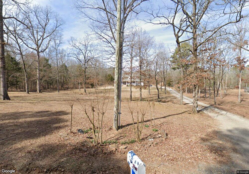
49 Mikes Cir Heber Springs, AR 72543
Estimated Value: $402,448 - $628,000
--
Bed
3
Baths
2,668
Sq Ft
$197/Sq Ft
Est. Value
About This Home
This home is located at 49 Mikes Cir, Heber Springs, AR 72543 and is currently estimated at $525,112, approximately $196 per square foot. 49 Mikes Cir is a home located in Cleburne County with nearby schools including Heber Springs Elementary School, Heber Springs Middle School, and Heber Springs High School.
Ownership History
Date
Name
Owned For
Owner Type
Purchase Details
Closed on
Mar 10, 2015
Sold by
Spears Blake and Spears Sheril
Bought by
Spears Blake and Spears Sheril
Current Estimated Value
Home Financials for this Owner
Home Financials are based on the most recent Mortgage that was taken out on this home.
Original Mortgage
$215,000
Outstanding Balance
$77,259
Interest Rate
3.66%
Mortgage Type
New Conventional
Estimated Equity
$447,853
Purchase Details
Closed on
Oct 10, 2006
Sold by
Ware Pamela R
Bought by
Freeman Daniel I and Freeman Sandra G
Home Financials for this Owner
Home Financials are based on the most recent Mortgage that was taken out on this home.
Original Mortgage
$134,400
Interest Rate
6.44%
Mortgage Type
New Conventional
Purchase Details
Closed on
Jun 8, 1992
Bought by
Ware Pamela R
Create a Home Valuation Report for This Property
The Home Valuation Report is an in-depth analysis detailing your home's value as well as a comparison with similar homes in the area
Home Values in the Area
Average Home Value in this Area
Purchase History
| Date | Buyer | Sale Price | Title Company |
|---|---|---|---|
| Spears Blake | $60,000 | None Available | |
| Freeman Daniel I | $169,000 | -- | |
| Ware Pamela R | $9,500 | -- |
Source: Public Records
Mortgage History
| Date | Status | Borrower | Loan Amount |
|---|---|---|---|
| Open | Spears Blake | $215,000 | |
| Previous Owner | Freeman Daniel I | $134,400 |
Source: Public Records
Tax History Compared to Growth
Tax History
| Year | Tax Paid | Tax Assessment Tax Assessment Total Assessment is a certain percentage of the fair market value that is determined by local assessors to be the total taxable value of land and additions on the property. | Land | Improvement |
|---|---|---|---|---|
| 2024 | $1,134 | $57,338 | $6,000 | $51,338 |
| 2023 | $1,138 | $57,338 | $6,000 | $51,338 |
| 2022 | $1,117 | $57,338 | $6,000 | $51,338 |
| 2021 | $1,046 | $37,486 | $2,000 | $35,486 |
| 2020 | $1,046 | $37,486 | $2,000 | $35,486 |
| 2019 | $1,046 | $37,486 | $2,000 | $35,486 |
| 2018 | $1,071 | $37,486 | $2,000 | $35,486 |
| 2017 | $1,071 | $37,486 | $2,000 | $35,486 |
| 2016 | $1,084 | $37,840 | $2,000 | $35,840 |
| 2015 | $1,084 | $37,840 | $2,000 | $35,840 |
| 2014 | $1,084 | $37,840 | $2,000 | $35,840 |
Source: Public Records
Map
Nearby Homes
- 705 Industrial Park Rd
- 000 Industrial Park Rd
- 100 Rainbow Loop
- 1200 Rainbow Rd
- 0 Crestwood Dr Unit 25004773
- 1230 Industrial Park Rd
- 15 Industrial Park Rd
- Lot 28 Lost Creek Dr
- 20 Sugarloaf Ln
- 7 Swinging Bridge Dr
- 353 Hilltop Dr
- 3 Swinging Bridge Dr
- 1100 Wilburn Rd
- 111 Timberline Dr
- 105 Crestwood Dr
- 3303 River Bend Rd
- 9 Jared Dr
- 29 N Winkley Shoals Cove
- 5 Jared Dr
- 31 N Winkley Shoals Cove
- Lot 38 Mikes Cir
- Lot 36 Mikes Cir
- 99 Mikes Cir
- 38 Mikes Cir
- 32 Mikes Cir
- 31 Mike's Cir
- 110 Lost Well Rd
- 100 Mikes Cir
- 0 Mike's Cir Unit 17016180
- 39 Mikes Cir
- 40 Mikes Cir
- 41 Mikes Cir
- 47 Mikes Cir
- 0 Mikes Cir Unit 19017862
- 0 Mikes Cir Unit 10389727
- 360 River Ridge Rd
- LOT 24 Lost Well Rd
- 0000 Lost Well Rd
- 89 Lost Well Rd
- 300 Cypress Ridge Rd