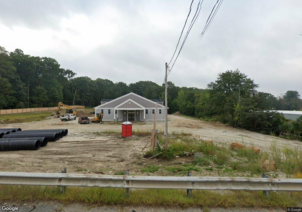
49 Milford St Mendon, MA 01756
Estimated Value: $493,170
--
Bed
--
Bath
2,400
Sq Ft
$205/Sq Ft
Est. Value
About This Home
This home is located at 49 Milford St, Mendon, MA 01756 and is currently priced at $493,170, approximately $205 per square foot. 49 Milford St is a home located in Worcester County with nearby schools including Nipmuc Regional High School.
Ownership History
Date
Name
Owned For
Owner Type
Purchase Details
Closed on
Jan 29, 2014
Sold by
Landmark Rt and Funari
Bought by
Landmark Rt and Funari
Current Estimated Value
Purchase Details
Closed on
Feb 9, 2007
Sold by
Ludden Diane L and Ludden Shane E
Bought by
Ludden Diane and Funari George
Purchase Details
Closed on
Jun 22, 2001
Sold by
Depoto Anthony R and Depoto Dorothy A
Bought by
Ludden Shane E and Ludden Diane L
Home Financials for this Owner
Home Financials are based on the most recent Mortgage that was taken out on this home.
Original Mortgage
$286,996
Interest Rate
7.09%
Mortgage Type
Commercial
Create a Home Valuation Report for This Property
The Home Valuation Report is an in-depth analysis detailing your home's value as well as a comparison with similar homes in the area
Home Values in the Area
Average Home Value in this Area
Purchase History
| Date | Buyer | Sale Price | Title Company |
|---|---|---|---|
| Landmark Rt | -- | -- | |
| Ludden Diane | $275,000 | -- | |
| Ludden Shane E | $225,000 | -- |
Source: Public Records
Mortgage History
| Date | Status | Borrower | Loan Amount |
|---|---|---|---|
| Previous Owner | Ludden Shane E | $286,996 |
Source: Public Records
Tax History Compared to Growth
Tax History
| Year | Tax Paid | Tax Assessment Tax Assessment Total Assessment is a certain percentage of the fair market value that is determined by local assessors to be the total taxable value of land and additions on the property. | Land | Improvement |
|---|---|---|---|---|
| 2025 | $9,091 | $680,500 | $226,600 | $453,900 |
| 2024 | $5,387 | $393,500 | $217,900 | $175,600 |
| 2023 | $4,508 | $308,800 | $207,400 | $101,400 |
| 2022 | $4,623 | $300,000 | $202,100 | $97,900 |
| 2021 | $4,899 | $291,800 | $196,100 | $95,700 |
| 2020 | $4,643 | $277,200 | $183,800 | $93,400 |
| 2019 | $4,523 | $270,200 | $178,500 | $91,700 |
| 2018 | $4,561 | $268,900 | $178,500 | $90,400 |
| 2017 | $4,755 | $267,900 | $178,500 | $89,400 |
| 2016 | $4,578 | $265,400 | $176,200 | $89,200 |
| 2015 | $4,119 | $257,300 | $169,900 | $87,400 |
| 2014 | $4,013 | $250,500 | $164,600 | $85,900 |
Source: Public Records
Map
Nearby Homes
- 26 Brookview Ln Unit 26
- 108 Laurelwood Dr Unit 108
- 2 Crestview Dr
- 16 North Ave
- 164 Greene St
- 13 Blackstone St
- 22 Washington St
- 11 Heron Ln
- 25 Bens Way
- 8 Union St Unit 8
- 3 Birch Cir
- 23 Bens Way
- 10 Wesley Dr
- 14 Kelley Rd
- 13 Kelley Rd
- 23 Uxbridge Rd
- 106 Adin St
- The Brooklyn Plan at Harmony - Subdivision
- The Meadow Plan at Harmony - Subdivision
- The Layla Plan at Harmony - Subdivision