49 Minott Shore Rd Brunswick, ME 04011
Estimated Value: $890,000 - $1,308,801
2
Beds
2
Baths
2,100
Sq Ft
$517/Sq Ft
Est. Value
About This Home
This home is located at 49 Minott Shore Rd, Brunswick, ME 04011 and is currently estimated at $1,084,950, approximately $516 per square foot. 49 Minott Shore Rd is a home located in Cumberland County with nearby schools including Priest Elementary-Middle School, Kate Furbish Elementary School, and Brunswick Jr High School.
Ownership History
Date
Name
Owned For
Owner Type
Purchase Details
Closed on
Feb 11, 2011
Sold by
Youmans Leslie R and Youmans Ray S
Bought by
Fan Christina and Fan Titan
Current Estimated Value
Home Financials for this Owner
Home Financials are based on the most recent Mortgage that was taken out on this home.
Original Mortgage
$417,000
Outstanding Balance
$15,480
Interest Rate
4.21%
Mortgage Type
Purchase Money Mortgage
Estimated Equity
$1,069,470
Create a Home Valuation Report for This Property
The Home Valuation Report is an in-depth analysis detailing your home's value as well as a comparison with similar homes in the area
Home Values in the Area
Average Home Value in this Area
Purchase History
| Date | Buyer | Sale Price | Title Company |
|---|---|---|---|
| Fan Christina | -- | -- |
Source: Public Records
Mortgage History
| Date | Status | Borrower | Loan Amount |
|---|---|---|---|
| Open | Fan Christina | $417,000 |
Source: Public Records
Tax History Compared to Growth
Tax History
| Year | Tax Paid | Tax Assessment Tax Assessment Total Assessment is a certain percentage of the fair market value that is determined by local assessors to be the total taxable value of land and additions on the property. | Land | Improvement |
|---|---|---|---|---|
| 2024 | $14,777 | $619,600 | $284,600 | $335,000 |
| 2023 | $14,430 | $619,600 | $284,600 | $335,000 |
| 2022 | $13,426 | $619,000 | $284,600 | $334,400 |
| 2021 | $12,775 | $612,400 | $284,600 | $327,800 |
| 2020 | $12,475 | $612,400 | $284,600 | $327,800 |
| 2019 | $11,700 | $593,300 | $270,000 | $323,300 |
| 2018 | $11,225 | $593,300 | $270,000 | $323,300 |
| 2017 | $10,899 | $593,300 | $270,000 | $323,300 |
| 2016 | $10,769 | $366,900 | $165,000 | $201,900 |
| 2015 | $10,405 | $366,900 | $165,000 | $201,900 |
| 2014 | $10,374 | $378,600 | $165,000 | $213,600 |
| 2013 | -- | $378,600 | $165,000 | $213,600 |
Source: Public Records
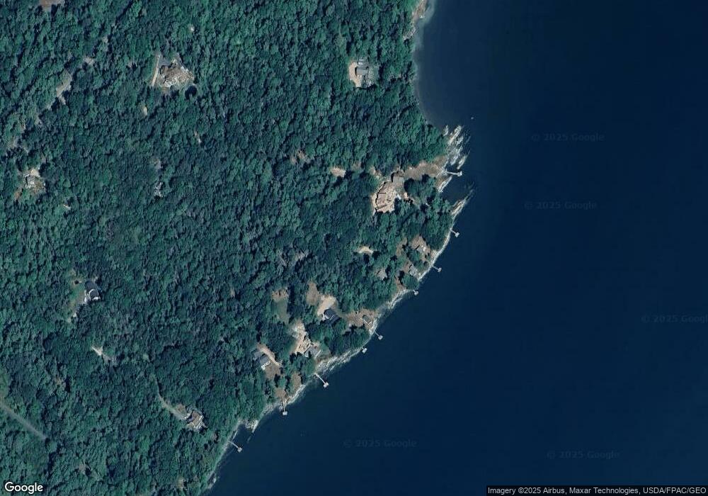
Map
Nearby Homes
- 853 Mere Point Rd
- Map 80 Lot 18-0 White Island
- 46 Blackstone Club Rd
- 0 Gundalo Gap Rd Unit 1638108
- 83 Central Ave
- 270 Harpswell Neck Rd
- 34 Newfield Rd
- 57 Crestview Ln
- 250 Mere Point Rd
- 6 Chebeague Ln
- 5 Round Hill Ln
- 206 Woodside Rd
- 49 Gleed Dr
- 46 Casco Rd
- 54 Linnell Cir
- 11 Elwell Ln
- Lot 129 Harpswell Neck Rd
- 29 Elwell Ln
- 10 Betina Ln
- 10 Kitt St
- 53 Minott Shore Rd
- 55 Minott Shore Rd
- 61 Minott Shore Rd
- 29 Youmans Rd
- 69 Minott Shore Rd
- 73 Minott Shore Rd
- 79 Minott Shore Rd
- 841 Mere Point Rd
- 85 Minott Shore Rd
- 895 Mere Point Rd
- 8 Youmans Rd
- 825 Mere Point Rd
- 859 Mere Point Rd
- 15 Shearwater Way
- 0 Minott Shore Rd
- 850 Mere Point Rd
- 866 Mere Point Rd
- 0 Shearwater Way Unit 1322391
- 0 Shearwater Way Unit 1144844
- 0 Shearwater Way Unit 1203571