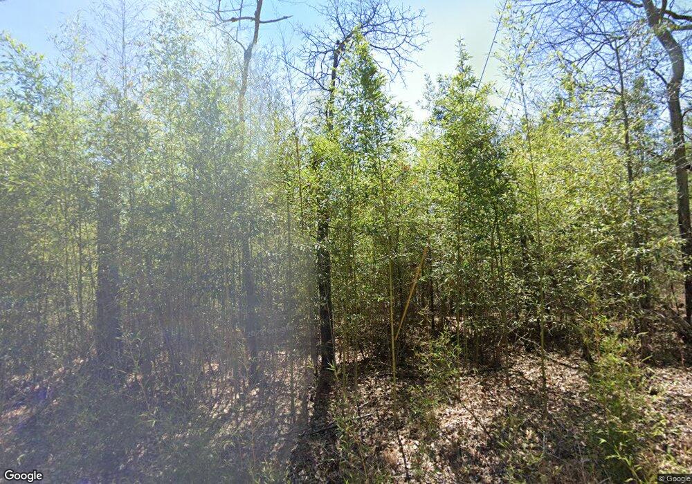
49 Mountain Side Cir Anniston, AL 36207
Estimated Value: $228,561 - $246,000
3
Beds
2
Baths
1,668
Sq Ft
$142/Sq Ft
Est. Value
About This Home
This home is located at 49 Mountain Side Cir, Anniston, AL 36207 and is currently estimated at $237,140, approximately $142 per square foot. 49 Mountain Side Cir is a home located in Calhoun County with nearby schools including Anniston High School, Faith Christian School, and The Donoho School.
Ownership History
Date
Name
Owned For
Owner Type
Purchase Details
Closed on
Feb 26, 2021
Sold by
Westbrook Katherine E
Bought by
Floyd Christopher Lee
Current Estimated Value
Home Financials for this Owner
Home Financials are based on the most recent Mortgage that was taken out on this home.
Original Mortgage
$137,600
Outstanding Balance
$123,349
Interest Rate
2.7%
Mortgage Type
New Conventional
Estimated Equity
$113,791
Purchase Details
Closed on
Jul 5, 2019
Sold by
Westbrook Deborah
Bought by
Westbrook Katherine E
Purchase Details
Closed on
Jul 12, 2018
Sold by
Longshore W L
Bought by
Regions Bank
Purchase Details
Closed on
Nov 5, 2015
Sold by
Regions Bank
Bought by
Westbrook Deborah G
Create a Home Valuation Report for This Property
The Home Valuation Report is an in-depth analysis detailing your home's value as well as a comparison with similar homes in the area
Home Values in the Area
Average Home Value in this Area
Purchase History
| Date | Buyer | Sale Price | Title Company |
|---|---|---|---|
| Floyd Christopher Lee | $172,000 | None Available | |
| Westbrook Katherine E | -- | None Available | |
| Regions Bank | $25,850 | None Available | |
| Westbrook Deborah G | $110,000 | None Available |
Source: Public Records
Mortgage History
| Date | Status | Borrower | Loan Amount |
|---|---|---|---|
| Open | Floyd Christopher Lee | $137,600 |
Source: Public Records
Tax History Compared to Growth
Tax History
| Year | Tax Paid | Tax Assessment Tax Assessment Total Assessment is a certain percentage of the fair market value that is determined by local assessors to be the total taxable value of land and additions on the property. | Land | Improvement |
|---|---|---|---|---|
| 2024 | $645 | $17,396 | $3,500 | $13,896 |
| 2023 | $645 | $17,512 | $3,500 | $14,012 |
| 2022 | $650 | $17,512 | $3,500 | $14,012 |
| 2021 | $550 | $15,026 | $3,500 | $11,526 |
| 2020 | $524 | $14,374 | $3,500 | $10,874 |
| 2019 | $1,144 | $28,608 | $7,000 | $21,608 |
| 2018 | $1,144 | $28,600 | $0 | $0 |
| 2017 | $0 | $14,680 | $0 | $0 |
| 2016 | $587 | $14,680 | $0 | $0 |
| 2013 | -- | $14,680 | $0 | $0 |
Source: Public Records
Map
Nearby Homes
- 1300 Booger Hollow Rd
- 1416 Cambridge Place
- 1524 Cambridge Place
- 1534 Cambridge Place
- 0 Greenbrier Dear Rd Unit 24-965
- 1720 Cherry Cir
- 920 Hillyer High Rd
- 2611 Coleman Rd
- 2301 Hathaway Heights Rd
- 1012 Valley Creek Dr
- 0 Eagle Pass Way Unit 33 1353486
- 0 Hillyer Robinson Pkwy Unit 1.79 ACR 21406903
- 900 Greenbrier Dear Rd
- 0 Hathaway Heights Rd Unit 14 21420979
- 0 Hathaway Heights Rd Unit 15 21420978
- 0 Hathaway Heights Rd Unit 16 21420882
- 22029 Paige Hill Rd
- 1213 Somerset Ln
- 601 Hillyer High Rd
- 0 Rebecca Trail Unit 6.07 ac 21420735
- 59 Mountain Side Cir
- 39 Mountain Side Cir
- 29 Mountain Side Cir
- 69 Mountain Side Cir
- 50 Mountain Side Cir
- 40 Mountain Side Cir
- 30 Mountainside Village Rd
- 60 Mountain Side Cir
- 79 Mountain Side Cir Unit 41
- 19 Mountain Side Cir
- 30 Mountain Side Cir
- 68 Mountain Side Cir
- 20 Mountain Side Cir
- 11 Mountain Side Cir
- 83 Mountain Side Cir Unit 42
- 238 Mountain Side Cir Unit 29
- 78 Mountain Side Cir
- 78 Mountain Side Cir Unit 9
- 12 Mountain Side Cir
- 89 Mountain Side Cir
