49 Mussell Point Rd Gloucester, MA 01930
West Gloucester NeighborhoodEstimated Value: $786,000 - $1,194,000
2
Beds
1
Bath
1,184
Sq Ft
$827/Sq Ft
Est. Value
About This Home
This home is located at 49 Mussell Point Rd, Gloucester, MA 01930 and is currently estimated at $978,961, approximately $826 per square foot. 49 Mussell Point Rd is a home located in Essex County with nearby schools including West Parish, Ralph B O'maley Middle School, and Gloucester High School.
Ownership History
Date
Name
Owned For
Owner Type
Purchase Details
Closed on
Mar 28, 2023
Sold by
Mussel Point Rd Llc
Bought by
49 Mussel Point Rd Llc
Current Estimated Value
Purchase Details
Closed on
Dec 24, 2012
Sold by
49 Mussel Point Road R and Ellis
Bought by
Mussel Point Road Llc
Create a Home Valuation Report for This Property
The Home Valuation Report is an in-depth analysis detailing your home's value as well as a comparison with similar homes in the area
Home Values in the Area
Average Home Value in this Area
Purchase History
| Date | Buyer | Sale Price | Title Company |
|---|---|---|---|
| 49 Mussel Point Rd Llc | -- | None Available | |
| Mussel Point Road Llc | -- | -- |
Source: Public Records
Tax History Compared to Growth
Tax History
| Year | Tax Paid | Tax Assessment Tax Assessment Total Assessment is a certain percentage of the fair market value that is determined by local assessors to be the total taxable value of land and additions on the property. | Land | Improvement |
|---|---|---|---|---|
| 2025 | $10,414 | $1,071,400 | $697,100 | $374,300 |
| 2024 | $10,329 | $1,061,600 | $663,900 | $397,700 |
| 2023 | $9,601 | $906,600 | $566,600 | $340,000 |
| 2022 | $9,093 | $775,200 | $492,900 | $282,300 |
| 2021 | $8,846 | $711,100 | $448,000 | $263,100 |
| 2020 | $8,526 | $691,500 | $448,000 | $243,500 |
| 2019 | $8,349 | $657,900 | $427,200 | $230,700 |
| 2018 | $8,027 | $620,800 | $416,700 | $204,100 |
| 2017 | $7,681 | $582,300 | $396,800 | $185,500 |
| 2016 | $7,465 | $548,500 | $379,700 | $168,800 |
| 2015 | $7,189 | $526,700 | $371,100 | $155,600 |
Source: Public Records
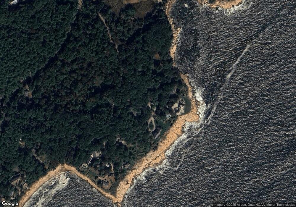
Map
Nearby Homes
- 359 Western Ave
- 100 Eastern Point Blvd
- 5 Elm Ave
- 58 Eastern Point Blvd
- 2 Ocean Ave Unit 3B
- 2 Ocean Ave Unit 3C
- 44 Lexington Ave Unit 4
- 17 Butler Ave
- 7 Hawthorne Ln
- 62 Eastern Point Rd Unit 3
- 7 Rackliffe St Unit 1
- 1 Wonson St
- 12 Woodward Ave
- 227 Essex Ave
- 5 Washington Square
- 33 Middle St
- 35 Middle St Unit 4
- 8 Summer St Unit 103
- 15 Harvard St
- 4 Hillside Rd
- 56 Mussell Point Rd Unit 56
- 47 Mussell Point Rd
- 42 Mussell Point Rd
- 54 Mussell Point Rd
- 46 Mussell Point Rd
- 50 Mussell Point Rd
- 16 Mussell Point Way
- 31 Mussell Point Way
- 15 Mussell Point Way
- 31 Mussell Point Way
- 19 Mussell Point Way
- 25 Mussell Point Way
- 0 Dolliver's Neck Unit 30167611
- 19 Mussell Point Way
- 23 Mussell Point Way
- 27 Mussell Point Rd
- 9 Dolliver Neck Rd
- 2 Mussell Point Rd
- 44 Hesperus Ave
- 24 Hesperus Ave