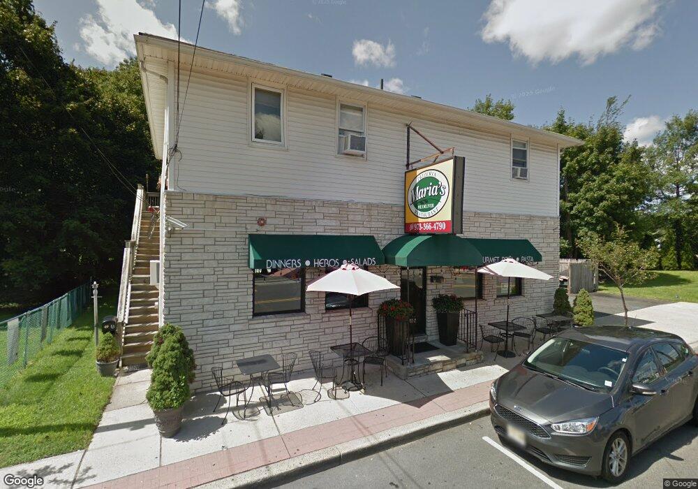
49 N Main St Wharton, NJ 07885
Estimated Value: $461,628
3
Beds
1
Bath
2,072
Sq Ft
$223/Sq Ft
Est. Value
About This Home
This home is located at 49 N Main St, Wharton, NJ 07885 and is currently estimated at $461,628, approximately $222 per square foot. 49 N Main St is a home located in Morris County with nearby schools including Marie V. Duffy Elementary School and A C Mac Kinnon Middle School.
Ownership History
Date
Name
Owned For
Owner Type
Purchase Details
Closed on
Mar 19, 2015
Sold by
Stevenson Carmel and Giornalista Christina
Bought by
De Piano Enterprises Llc
Current Estimated Value
Home Financials for this Owner
Home Financials are based on the most recent Mortgage that was taken out on this home.
Original Mortgage
$189,000
Outstanding Balance
$132,520
Interest Rate
4.25%
Mortgage Type
Commercial
Estimated Equity
$329,108
Purchase Details
Closed on
Jan 1, 2013
Sold by
Estate Of Maria A Giornalista and Giornalista Giovanni
Bought by
Giornalista Giovanni and Stevenson Carmela
Create a Home Valuation Report for This Property
The Home Valuation Report is an in-depth analysis detailing your home's value as well as a comparison with similar homes in the area
Home Values in the Area
Average Home Value in this Area
Purchase History
| Date | Buyer | Sale Price | Title Company |
|---|---|---|---|
| De Piano Enterprises Llc | $270,000 | Old Republic Natl Title Ins | |
| Giornalista Giovanni | $152,000 | None Available |
Source: Public Records
Mortgage History
| Date | Status | Borrower | Loan Amount |
|---|---|---|---|
| Open | De Piano Enterprises Llc | $189,000 |
Source: Public Records
Tax History Compared to Growth
Tax History
| Year | Tax Paid | Tax Assessment Tax Assessment Total Assessment is a certain percentage of the fair market value that is determined by local assessors to be the total taxable value of land and additions on the property. | Land | Improvement |
|---|---|---|---|---|
| 2025 | $11,247 | $451,300 | $137,300 | $314,000 |
| 2024 | $10,578 | $380,100 | $137,300 | $242,800 |
| 2023 | $10,578 | $353,300 | $130,400 | $222,900 |
| 2022 | $9,849 | $336,000 | $130,400 | $205,600 |
| 2021 | $9,849 | $322,800 | $130,400 | $192,400 |
| 2020 | $9,747 | $313,500 | $130,400 | $183,100 |
| 2019 | $9,203 | $298,400 | $130,400 | $168,000 |
| 2018 | $8,885 | $294,000 | $130,400 | $163,600 |
| 2017 | $8,860 | $290,000 | $130,400 | $159,600 |
| 2016 | $8,256 | $290,000 | $130,400 | $159,600 |
| 2015 | $9,238 | $305,500 | $130,400 | $175,100 |
| 2014 | $9,250 | $302,600 | $130,400 | $172,200 |
Source: Public Records
Map
Nearby Homes
- 42 Fern Ave
- 8 Baker Ave
- 10 Fernandez Ln
- 17 Anderson Rd
- 19123 Westview Unit 19123
- 18116 Westview Unit 116E
- 18116 Westview
- 22145 Westview
- 399 N Main St
- 18 Wabash Ave
- 37 Garden Ave
- 3 Sickle St
- 52 W Union Turnpike
- 8 N Elk Ave
- 70 Davis Ave Ab
- 417 W Black Well St Ab
- 322 P7 Richard Mine Rd Unit 7
- 75 White St
- 322 Richard Mine Rd
- 322 Richard Mine Rd Unit 4
- 42 N Main St
- 42 N Main St Unit 42
- 38 N Main St Unit B
- 6 Kossuth St
- 6 Fern Ave Unit 8
- 6 Kelly Ln Unit 403
- 6 Kelly Ln
- 10 Pine St
- 13 Washington St Unit 15
- 10 Fern Ave Unit 12
- 54 N Main St
- 54 N Main St Unit 409
- 54 N Main St Unit 309
- 54 N Main St Unit 407
- 54 N Main St Unit 307
- 54 N Main St Unit 417
- 54 N Main St Unit 317
- 54 N Main St Unit 316
- 54 N Main St Unit 215
- 54 N Main St Unit 213