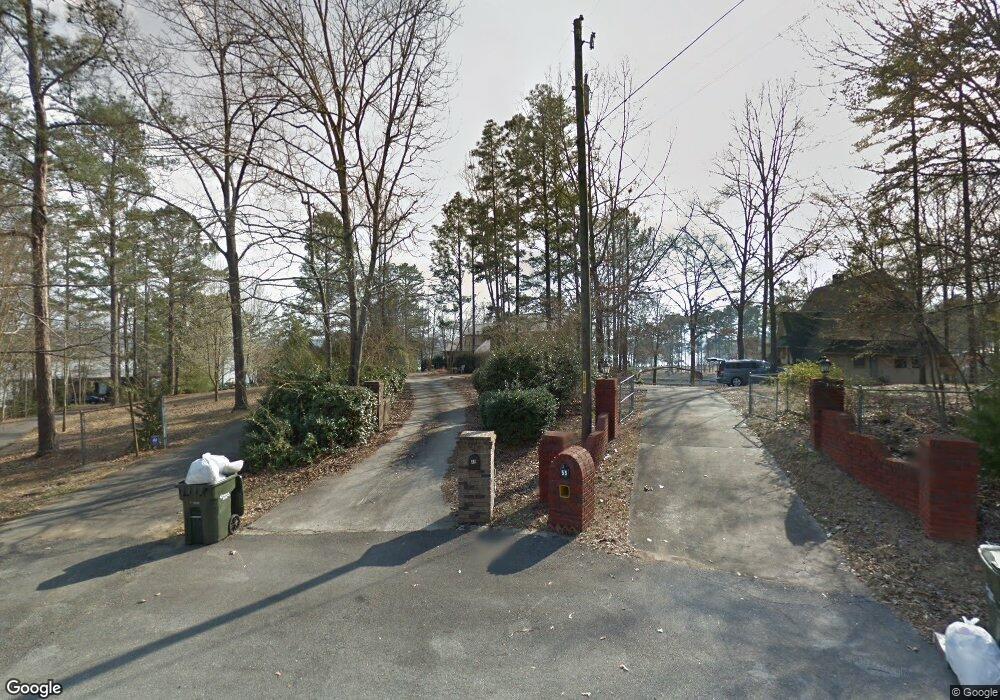
49 Navajo Cir Pell City, AL 35128
Estimated Value: $672,000 - $700,000
5
Beds
4
Baths
4,772
Sq Ft
$144/Sq Ft
Est. Value
About This Home
This home is located at 49 Navajo Cir, Pell City, AL 35128 and is currently estimated at $688,879, approximately $144 per square foot. 49 Navajo Cir is a home located in St. Clair County.
Ownership History
Date
Name
Owned For
Owner Type
Purchase Details
Closed on
Nov 6, 2017
Sold by
Dyer Debra C
Bought by
Brannon Jessica Dyer and Brannon Tucker Coy
Current Estimated Value
Home Financials for this Owner
Home Financials are based on the most recent Mortgage that was taken out on this home.
Original Mortgage
$343,000
Outstanding Balance
$287,266
Interest Rate
3.83%
Mortgage Type
New Conventional
Estimated Equity
$401,613
Purchase Details
Closed on
Mar 21, 2017
Sold by
Dyer Debra
Bought by
Green Michael S
Purchase Details
Closed on
Aug 27, 2008
Sold by
Cunningham Peggy J and Pearce Ginger J
Bought by
Dyer Glenn E and Dyer Debra C
Create a Home Valuation Report for This Property
The Home Valuation Report is an in-depth analysis detailing your home's value as well as a comparison with similar homes in the area
Home Values in the Area
Average Home Value in this Area
Purchase History
| Date | Buyer | Sale Price | Title Company |
|---|---|---|---|
| Brannon Jessica Dyer | $429,000 | None Available | |
| Green Michael S | $6,500 | None Available | |
| Dyer Glenn E | $20,000 | None Available |
Source: Public Records
Mortgage History
| Date | Status | Borrower | Loan Amount |
|---|---|---|---|
| Open | Brannon Jessica Dyer | $343,000 | |
| Closed | Brannon Jessica Dyer | $343,000 |
Source: Public Records
Tax History Compared to Growth
Tax History
| Year | Tax Paid | Tax Assessment Tax Assessment Total Assessment is a certain percentage of the fair market value that is determined by local assessors to be the total taxable value of land and additions on the property. | Land | Improvement |
|---|---|---|---|---|
| 2024 | $2,123 | $105,862 | $23,000 | $82,862 |
| 2023 | $2,123 | $90,610 | $23,000 | $67,610 |
| 2022 | $1,810 | $45,305 | $11,500 | $33,805 |
| 2021 | $1,584 | $45,305 | $11,500 | $33,805 |
| 2020 | $1,584 | $45,303 | $11,500 | $33,803 |
| 2019 | $1,584 | $45,303 | $11,500 | $33,803 |
| 2018 | $1,478 | $41,060 | $0 | $0 |
| 2017 | $1,487 | $41,060 | $0 | $0 |
| 2016 | $1,478 | $41,060 | $0 | $0 |
| 2015 | $1,487 | $41,060 | $0 | $0 |
| 2014 | $1,487 | $41,300 | $0 | $0 |
Source: Public Records
Map
Nearby Homes
- 75 Nathan Ln
- 254 Osprey Dr
- 160 Mohican Dr
- 445 Big Oak Cir
- 380 Richards Cir Unit 54
- 715 Cassie Dr W
- 80 Fritz Dr
- 6470 Mays Bend Rd
- lot 23 Woodhaven Dr Unit 23
- Lot 5 Woodhaven Dr Unit 5
- Lot 6 Woodhaven Dr Unit 6
- Lot 4 Woodhaven Dr
- Lot 24 Woodhaven Dr Unit 24
- Lot 7 Woodhaven Dr Unit 7
- Lot 14 Woodhaven Dr Unit 14
- Lot 17 Woodhaven Dr Unit 17
- 6373 Mays Bend Rd
- 71 Dove Cove Rd
- 408 Eagle Pointe Dr
- 165 Wood Ln
- 47 Navajo Cir
- 55 Navajo Cir
- 55 Navajo Cir Unit 66
- 35 Navajo Cir
- 134 Nathan Ln
- 17 Navajo Cir
- 43 Navajo Cir
- 128 Nathan Ln
- 206 Nathan Ln
- 175 Osprey Dr
- 60 Muscadine Cir
- 215 Osprey Dr
- 163 Nathan Ln
- 48 Muscadine Cir
- 70 Nathan Ln
- 229 Osprey Dr
- 0 Osprey Dr Unit 251 726770
- 231 Nathan Ln
- 0 Co Rd Unit 49 7324607
- 245 Osprey Dr
