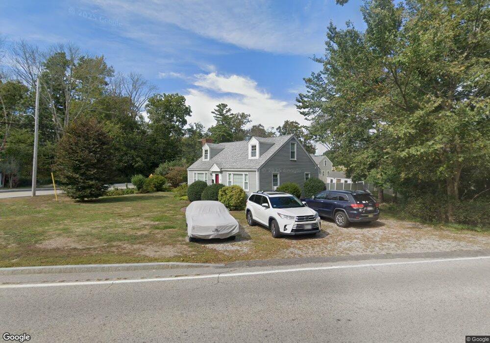
49 Norman Todd Rd Cohasset, MA 02025
Estimated Value: $553,000 - $957,000
3
Beds
2
Baths
1,853
Sq Ft
$426/Sq Ft
Est. Value
About This Home
This home is located at 49 Norman Todd Rd, Cohasset, MA 02025 and is currently estimated at $788,693, approximately $425 per square foot. 49 Norman Todd Rd is a home located in Norfolk County with nearby schools including Joseph Osgood School, Deer Hill School, and Cohasset Middle School.
Ownership History
Date
Name
Owned For
Owner Type
Purchase Details
Closed on
Sep 9, 2003
Sold by
Anderson Joseph C Est and Higgins
Bought by
Norton Jane H and Norton Christopher J
Current Estimated Value
Home Financials for this Owner
Home Financials are based on the most recent Mortgage that was taken out on this home.
Original Mortgage
$272,000
Interest Rate
6.02%
Mortgage Type
Purchase Money Mortgage
Create a Home Valuation Report for This Property
The Home Valuation Report is an in-depth analysis detailing your home's value as well as a comparison with similar homes in the area
Home Values in the Area
Average Home Value in this Area
Purchase History
| Date | Buyer | Sale Price | Title Company |
|---|---|---|---|
| Norton Jane H | $65,000 | -- | |
| Norton Jane H | $276,050 | -- | |
| Norton Jane H | $276,050 | -- |
Source: Public Records
Mortgage History
| Date | Status | Borrower | Loan Amount |
|---|---|---|---|
| Open | Norton Jane H | $307,500 | |
| Closed | Norton Jane H | $272,000 |
Source: Public Records
Tax History Compared to Growth
Tax History
| Year | Tax Paid | Tax Assessment Tax Assessment Total Assessment is a certain percentage of the fair market value that is determined by local assessors to be the total taxable value of land and additions on the property. | Land | Improvement |
|---|---|---|---|---|
| 2025 | $5,780 | $499,100 | $248,200 | $250,900 |
| 2024 | $5,574 | $458,000 | $207,100 | $250,900 |
| 2023 | $5,391 | $456,900 | $206,900 | $250,000 |
| 2022 | $5,225 | $416,000 | $183,500 | $232,500 |
| 2021 | $5,093 | $390,600 | $183,500 | $207,100 |
| 2020 | $5,066 | $390,600 | $183,500 | $207,100 |
| 2019 | $5,039 | $390,600 | $183,500 | $207,100 |
| 2018 | $4,996 | $390,600 | $183,500 | $207,100 |
| 2017 | $4,683 | $358,600 | $174,800 | $183,800 |
| 2016 | $4,619 | $358,600 | $174,800 | $183,800 |
| 2015 | $4,558 | $358,600 | $174,800 | $183,800 |
| 2014 | $4,497 | $358,600 | $174,800 | $183,800 |
Source: Public Records
Map
Nearby Homes
- 40 Brewster Rd
- 100 Pond St Unit 10
- 309 S Main St
- 392 S Main St
- 46 Pond St
- 817 Country Way
- 40 Pond St
- 73 Pond St
- 212 S Main St
- 26 Ash St
- 68 Black Horse Ln
- 98 Black Horse Ln
- 70 Black Horse Ln
- 119 Pleasant St
- 78 Old Pasture Rd
- 26 Mordecai Lincoln Rd
- 84 Booth Hill Rd
- 15 Cushing Rd
- 87 Elm St Unit 215
- 128 Elm St Unit 211
- 50 Norman Todd Rd
- 114 Beechwood St
- 37 Norman Todd Rd
- 131 Beechwood St
- 133 Beechwood St
- 106 Beechwood St
- 2 Hammond Ave
- 102 Beechwood St
- 143 Beechwood St (Village Side)
- 101 Beechwood St
- 10 Hammond Ave
- 143 Beechwood St
- 95 Beechwood St
- 9 Hammond Ave
- 147 Beechwood St
- 1 Norman Todd Rd
- 7 Walnut Hill Ln
- 16 Hammond Ave
- 3 Norman Todd Rd
- 3 Todd Ln