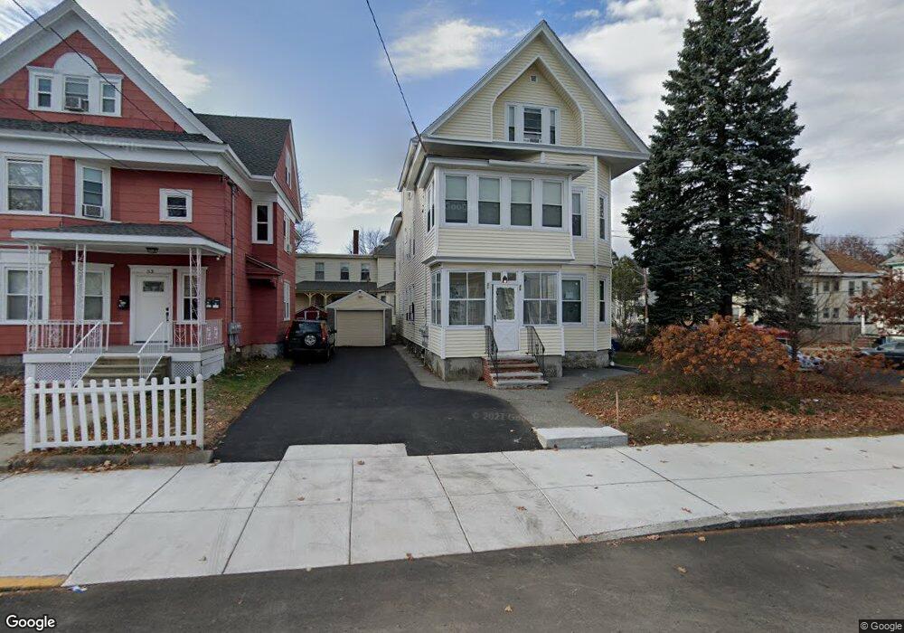
49 Osgood St Unit 51 Lawrence, MA 01843
South Common NeighborhoodEstimated Value: $700,000 - $972,000
6
Beds
3
Baths
4,552
Sq Ft
$192/Sq Ft
Est. Value
About This Home
This home is located at 49 Osgood St Unit 51, Lawrence, MA 01843 and is currently estimated at $873,000, approximately $191 per square foot. 49 Osgood St Unit 51 is a home located in Essex County with nearby schools including John Breen School, South Lawrence East Elementary School, and School For Exceptional Studies.
Ownership History
Date
Name
Owned For
Owner Type
Purchase Details
Closed on
Nov 1, 2012
Sold by
Qts 4951 Nt
Bought by
Herrera Domingo A
Current Estimated Value
Home Financials for this Owner
Home Financials are based on the most recent Mortgage that was taken out on this home.
Original Mortgage
$285,859
Outstanding Balance
$198,560
Interest Rate
3.5%
Mortgage Type
New Conventional
Estimated Equity
$674,440
Purchase Details
Closed on
Jul 17, 2001
Sold by
Manseau Gilberta C
Bought by
Soucey Ft and Soucey Arthur H
Create a Home Valuation Report for This Property
The Home Valuation Report is an in-depth analysis detailing your home's value as well as a comparison with similar homes in the area
Home Values in the Area
Average Home Value in this Area
Purchase History
| Date | Buyer | Sale Price | Title Company |
|---|---|---|---|
| Herrera Domingo A | $240,000 | -- | |
| Soucey Ft | $30,000 | -- | |
| Soucey Ft | $30,000 | -- |
Source: Public Records
Mortgage History
| Date | Status | Borrower | Loan Amount |
|---|---|---|---|
| Open | Herrera Domingo A | $285,859 |
Source: Public Records
Tax History Compared to Growth
Tax History
| Year | Tax Paid | Tax Assessment Tax Assessment Total Assessment is a certain percentage of the fair market value that is determined by local assessors to be the total taxable value of land and additions on the property. | Land | Improvement |
|---|---|---|---|---|
| 2025 | $7,077 | $804,200 | $111,000 | $693,200 |
| 2024 | $7,138 | $771,700 | $120,100 | $651,600 |
| 2023 | $6,731 | $662,500 | $111,400 | $551,100 |
| 2022 | $6,364 | $556,300 | $101,000 | $455,300 |
| 2021 | $5,987 | $487,900 | $101,000 | $386,900 |
| 2020 | $5,760 | $463,400 | $95,800 | $367,600 |
| 2019 | $6,045 | $441,900 | $79,600 | $362,300 |
| 2018 | $5,656 | $395,000 | $75,300 | $319,700 |
| 2017 | $5,038 | $328,400 | $71,200 | $257,200 |
| 2016 | $4,951 | $319,200 | $58,600 | $260,600 |
| 2015 | $4,043 | $267,400 | $58,600 | $208,800 |
Source: Public Records
Map
Nearby Homes
- 78-80 Osgood St
- 64 Salem St
- 176-178 Bailey St
- 46 Loring St
- 111 Cambridge St Unit D
- 139-141 Foster St
- 356-360 S Union St
- 91 Farnham St
- 27-29 Dorchester St
- 317 Middlesex St
- 11 Fernwood St
- 114 Beverly St
- 78 Union St Unit 80
- 127 Marblehead St Unit A
- 177 & 183 Massachusetts Ave
- 11 Patton St
- 83 Jamaica St
- 42 Durso Ave
- 68 Belmont St Unit 68
- 7 Stevens Ct
- 53 Osgood St
- 225-227 Bailey St
- 225 Bailey St Unit 227
- 225 Bailey St
- 55 Osgood St
- 52A Osgood St
- 47 Osgood St
- 221 Bailey St
- 52 Osgood St
- 184 Abbott St
- 228 Bailey St Unit 230
- 59 Osgood St
- 54 Osgood St Unit 56
- 54-56 Osgood St
- 178 Abbott St Unit 180
- 218 Bailey St Unit 220
- 232 Bailey St Unit 234
- 232-234 Bailey St
- 213 Bailey St
- 229 Bailey St Unit 231