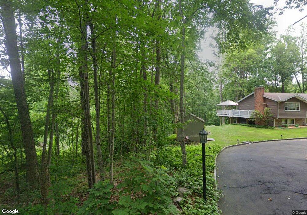
49 Pearmain Rd Shelton, CT 06484
Estimated Value: $813,797 - $975,000
4
Beds
3
Baths
2,866
Sq Ft
$319/Sq Ft
Est. Value
About This Home
This home is located at 49 Pearmain Rd, Shelton, CT 06484 and is currently estimated at $914,699, approximately $319 per square foot. 49 Pearmain Rd is a home with nearby schools including Elizabeth Shelton Elementary School, Perry Hill School, and Shelton Intermediate School.
Ownership History
Date
Name
Owned For
Owner Type
Purchase Details
Closed on
Jan 14, 2019
Sold by
Key Development Llc
Bought by
Iacomacci Ryan
Current Estimated Value
Home Financials for this Owner
Home Financials are based on the most recent Mortgage that was taken out on this home.
Original Mortgage
$427,600
Outstanding Balance
$377,458
Interest Rate
4.8%
Mortgage Type
Purchase Money Mortgage
Estimated Equity
$537,241
Purchase Details
Closed on
Jan 21, 2016
Sold by
Rubano Christina
Bought by
Rua Palmina
Create a Home Valuation Report for This Property
The Home Valuation Report is an in-depth analysis detailing your home's value as well as a comparison with similar homes in the area
Home Values in the Area
Average Home Value in this Area
Purchase History
| Date | Buyer | Sale Price | Title Company |
|---|---|---|---|
| Iacomacci Ryan | $534,500 | -- | |
| Iacomacci Ryan | $534,500 | -- | |
| Rua Palmina | -- | -- | |
| Rua Palmina | -- | -- | |
| Rua Palmina | -- | -- |
Source: Public Records
Mortgage History
| Date | Status | Borrower | Loan Amount |
|---|---|---|---|
| Open | Rua Palmina | $427,600 | |
| Closed | Rua Palmina | $427,600 |
Source: Public Records
Tax History Compared to Growth
Tax History
| Year | Tax Paid | Tax Assessment Tax Assessment Total Assessment is a certain percentage of the fair market value that is determined by local assessors to be the total taxable value of land and additions on the property. | Land | Improvement |
|---|---|---|---|---|
| 2025 | $7,586 | $403,060 | $80,640 | $322,420 |
| 2024 | $7,731 | $403,060 | $80,640 | $322,420 |
| 2023 | $7,041 | $403,060 | $80,640 | $322,420 |
| 2022 | $7,041 | $403,060 | $80,640 | $322,420 |
| 2021 | $8,599 | $390,350 | $94,570 | $295,780 |
| 2020 | $8,752 | $390,350 | $94,570 | $295,780 |
| 2019 | $8,752 | $390,350 | $94,570 | $295,780 |
| 2017 | $2,233 | $100,520 | $94,570 | $5,950 |
| 2015 | $2,478 | $111,090 | $104,860 | $6,230 |
| 2014 | $2,478 | $111,090 | $104,860 | $6,230 |
Source: Public Records
Map
Nearby Homes
- 65 Pearmain Rd
- 18 Brookwood Ln
- 36 Applewood Dr
- 941 Constitution Blvd N
- 26 Wabuda Place
- 11 Emerald Ridge Ct
- 71 Old Dairy Ln
- 14 Woodsend Ave
- 234 Summerfield Gardens Unit 234
- 90 Soundview Ave
- 24 Cedar Hill Rd
- 6 Byron Place
- 74 Big Horn Rd
- 293 Summerfield Gardens Unit 293
- 96 Big Horn Rd
- 43 Old Castle Dr
- 23 Bonita Dr
- 40 Walnut St
- 85 Far Horizons Dr
- 26 Stendahl Dr
- 43 Pearmain Rd
- 53 Pearmain Rd
- 61 Pearmain Rd
- 47 Pearmain Rd
- 69 Pearmain Rd
- 69 Pearmain Rd
- 28 Pearmain Rd
- 26 Pearmain Rd
- 22 Pearmain Rd
- 18 Pearmain Rd
- 14 Pearmain Rd
- 10 Pearmain Rd
- 8 Pearmain Rd
- 6 Pearmain Rd
- 178 Birdseye Rd
- 190 Birdseye Rd
- 200 Birdseye Rd
- 81 Pearmain Rd
- 195 Birdseye Rd
- Lot 5A Pearmain