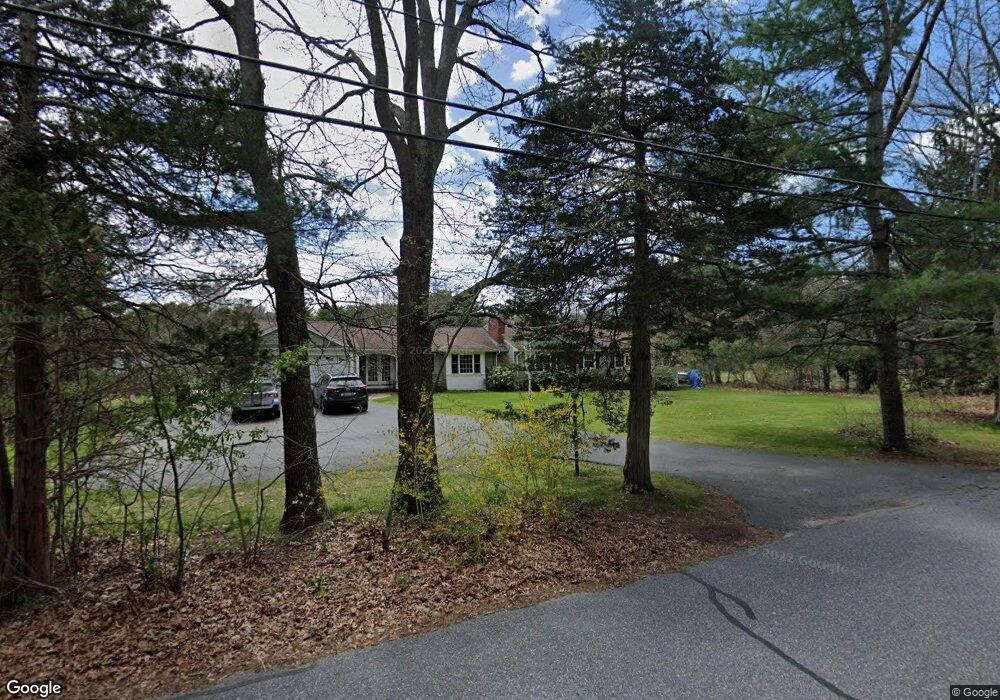
49 Pelham Island Rd Sudbury, MA 01776
Estimated Value: $983,000 - $1,202,000
4
Beds
3
Baths
2,500
Sq Ft
$434/Sq Ft
Est. Value
About This Home
This home is located at 49 Pelham Island Rd, Sudbury, MA 01776 and is currently estimated at $1,085,540, approximately $434 per square foot. 49 Pelham Island Rd is a home located in Middlesex County with nearby schools including Israel Loring Elementary School, Ephraim Curtis Middle School, and Lincoln-Sudbury Regional High School.
Ownership History
Date
Name
Owned For
Owner Type
Purchase Details
Closed on
Nov 13, 2018
Sold by
Griffin James T and Griffin Ruth E
Bought by
Griffin Ruth E
Current Estimated Value
Home Financials for this Owner
Home Financials are based on the most recent Mortgage that was taken out on this home.
Original Mortgage
$360,000
Outstanding Balance
$315,900
Interest Rate
4.7%
Mortgage Type
New Conventional
Estimated Equity
$769,640
Create a Home Valuation Report for This Property
The Home Valuation Report is an in-depth analysis detailing your home's value as well as a comparison with similar homes in the area
Home Values in the Area
Average Home Value in this Area
Purchase History
| Date | Buyer | Sale Price | Title Company |
|---|---|---|---|
| Griffin Ruth E | $200,000 | -- | |
| Griffin Ruth E | $200,000 | -- | |
| Griffin Ruth E | $200,000 | -- |
Source: Public Records
Mortgage History
| Date | Status | Borrower | Loan Amount |
|---|---|---|---|
| Open | Griffin Ruth E | $360,000 | |
| Closed | Griffin Ruth E | $360,000 | |
| Previous Owner | Griffin Ruth E | $218,000 |
Source: Public Records
Tax History Compared to Growth
Tax History
| Year | Tax Paid | Tax Assessment Tax Assessment Total Assessment is a certain percentage of the fair market value that is determined by local assessors to be the total taxable value of land and additions on the property. | Land | Improvement |
|---|---|---|---|---|
| 2025 | $14,164 | $967,500 | $461,300 | $506,200 |
| 2024 | $13,668 | $935,500 | $447,700 | $487,800 |
| 2023 | $13,816 | $876,100 | $414,500 | $461,600 |
| 2022 | $13,379 | $741,200 | $380,100 | $361,100 |
| 2021 | $13,064 | $693,800 | $380,100 | $313,700 |
| 2020 | $12,801 | $693,800 | $380,100 | $313,700 |
| 2019 | $12,426 | $693,800 | $380,100 | $313,700 |
| 2018 | $11,298 | $630,100 | $400,100 | $230,000 |
| 2017 | $10,598 | $597,400 | $395,300 | $202,100 |
| 2016 | $10,215 | $573,900 | $380,100 | $193,800 |
| 2015 | $9,300 | $528,400 | $365,300 | $163,100 |
| 2014 | $9,282 | $514,800 | $354,500 | $160,300 |
Source: Public Records
Map
Nearby Homes
- 216 Landham Rd
- 63 Landham Rd
- 0 Wagonwheel Rd
- 6 Old County Rd Unit 16
- 84 Hopestill Brown Rd
- 94 Goodmans Hill Rd
- 23 Massasoit Ave
- 36 Concord Rd
- 353 Old Connecticut Path
- 1011 Boston Post Rd
- 30 Edith Rd
- 8 Clara Rd
- 17 Hastings Way Unit 17
- 24 Pinewood Dr
- 29 Derby St
- 454 Old Connecticut Path
- 14 Eisenhower Rd
- 81 Nicholas Rd Unit B
- 14 Francine Rd
- 96 Lakeshore Dr
- 39 Pelham Island Rd
- 48 Pelham Island Rd
- 11 Beckwith St
- 36 Pelham Island Rd
- 8 Beckwith St
- 8 Hawthorne Rd
- 4 Guzzle Brook Dr
- 65 Pelham Island Rd
- 15 Hawthorne Rd
- 18 Beckwith St
- 20 Guzzle Brook Dr
- 66 Pelham Island Rd
- 30 Pelham Island Rd
- 12 Hawthorne Rd
- 24 Pelham Island Rd
- 5 Guzzlebrook Dr
- 71 Pelham Island Rd
- 19 Hawthorne Rd
- 28 Guzzlebrook Dr
- 18 Hawthorne Rd