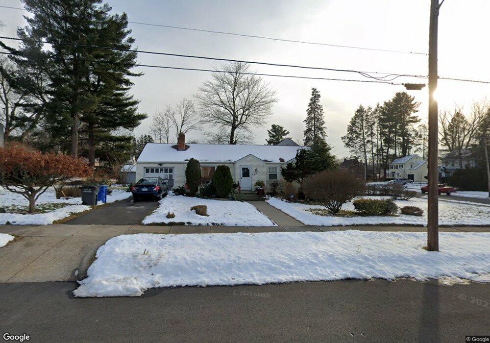
49 Pomfret St Hartford, CT 06112
Blue Hills NeighborhoodEstimated Value: $250,000 - $283,000
3
Beds
2
Baths
1,204
Sq Ft
$222/Sq Ft
Est. Value
About This Home
This home is located at 49 Pomfret St, Hartford, CT 06112 and is currently estimated at $267,733, approximately $222 per square foot. 49 Pomfret St is a home located in Hartford County with nearby schools including Rawson School, Breakthrough Magnet School - North Campus, and West Middle School.
Create a Home Valuation Report for This Property
The Home Valuation Report is an in-depth analysis detailing your home's value as well as a comparison with similar homes in the area
Home Values in the Area
Average Home Value in this Area
Tax History Compared to Growth
Tax History
| Year | Tax Paid | Tax Assessment Tax Assessment Total Assessment is a certain percentage of the fair market value that is determined by local assessors to be the total taxable value of land and additions on the property. | Land | Improvement |
|---|---|---|---|---|
| 2024 | $4,609 | $66,848 | $6,101 | $60,747 |
| 2023 | $4,609 | $66,848 | $6,101 | $60,747 |
| 2022 | $4,609 | $66,849 | $6,101 | $60,748 |
| 2021 | $3,469 | $46,690 | $7,245 | $39,445 |
| 2020 | $3,469 | $46,690 | $7,245 | $39,445 |
| 2019 | $3,469 | $46,690 | $7,245 | $39,445 |
| 2018 | $3,352 | $45,116 | $7,001 | $38,115 |
| 2016 | $3,312 | $44,579 | $6,668 | $37,911 |
| 2015 | $3,154 | $42,461 | $6,351 | $36,110 |
| 2014 | $3,077 | $41,423 | $6,195 | $35,228 |
Source: Public Records
Map
Nearby Homes
- 179 Manchester St
- 86 Hartland St
- 90 Manchester St
- 152 Burnham St
- 355 Cornwall St Unit 357
- 171 N Canaan St
- 147 Morningside St W
- 70 Burnham St Unit 72
- 180 Brookline Ave
- 211 Holcomb St Unit 213
- 11 Pershing St Unit 13
- 157 Pembroke St Unit 159
- 144 Thomaston St
- 125 Lebanon St Unit 127
- 36 Baltic St Unit 38
- 97 E Burnham St
- 25 Cornwall St
- 165 Bloomfield Ave
- 117 E Pershing St
- 111 Westbourne Pkwy Unit 113