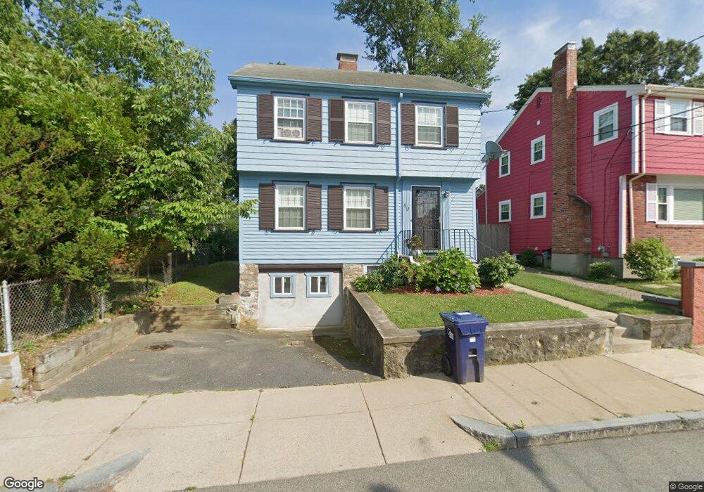
49 Ridlon Rd Hyde Park, MA 02136
Hyde Park NeighborhoodEstimated Value: $570,000 - $641,000
3
Beds
3
Baths
1,176
Sq Ft
$514/Sq Ft
Est. Value
About This Home
This home is located at 49 Ridlon Rd, Hyde Park, MA 02136 and is currently estimated at $604,115, approximately $513 per square foot. 49 Ridlon Rd is a home with nearby schools including Brooke Charter School Roslindale, Boston Preparatory Charter Public School, and Sacred Heart STEM School.
Ownership History
Date
Name
Owned For
Owner Type
Purchase Details
Closed on
May 1, 1998
Sold by
Alexander-Ellis Mary A
Bought by
Walker Sandra B
Current Estimated Value
Home Financials for this Owner
Home Financials are based on the most recent Mortgage that was taken out on this home.
Original Mortgage
$11,200
Interest Rate
7.04%
Mortgage Type
Purchase Money Mortgage
Create a Home Valuation Report for This Property
The Home Valuation Report is an in-depth analysis detailing your home's value as well as a comparison with similar homes in the area
Home Values in the Area
Average Home Value in this Area
Purchase History
| Date | Buyer | Sale Price | Title Company |
|---|---|---|---|
| Walker Sandra B | $125,000 | -- |
Source: Public Records
Mortgage History
| Date | Status | Borrower | Loan Amount |
|---|---|---|---|
| Open | Walker Sandra B | $135,000 | |
| Closed | Walker Sandra B | $11,200 | |
| Previous Owner | Walker Sandra B | $69,000 | |
| Previous Owner | Walker Sandra B | $69,000 |
Source: Public Records
Tax History
| Year | Tax Paid | Tax Assessment Tax Assessment Total Assessment is a certain percentage of the fair market value that is determined by local assessors to be the total taxable value of land and additions on the property. | Land | Improvement |
|---|---|---|---|---|
| 2025 | $5,770 | $498,300 | $167,200 | $331,100 |
| 2024 | $4,830 | $443,100 | $162,800 | $280,300 |
| 2023 | $4,407 | $410,300 | $150,700 | $259,600 |
| 2022 | $4,170 | $383,300 | $140,800 | $242,500 |
| 2021 | $3,874 | $363,100 | $135,400 | $227,700 |
| 2020 | $3,797 | $359,600 | $136,500 | $223,100 |
| 2019 | $3,446 | $326,900 | $102,300 | $224,600 |
| 2018 | $3,262 | $311,300 | $102,300 | $209,000 |
| 2017 | $3,026 | $285,700 | $102,300 | $183,400 |
| 2016 | $2,965 | $269,500 | $102,300 | $167,200 |
| 2015 | $2,728 | $225,300 | $86,700 | $138,600 |
| 2014 | -- | $208,200 | $86,700 | $121,500 |
Source: Public Records
Map
Nearby Homes
- 34 Ridlon Rd
- 18 Rugby Rd
- 52 Taunton Ave
- 60 Taunton Ave
- 839-843 Cummins Hwy
- 265 Hebron St
- 231 Itasca St
- 27 Ralwood Rd
- 179 Hebron St
- 0 Tina Ave
- 36-38 Hallowell St
- 770 Cummins Hwy Unit 1
- 770 Cummins Hwy Unit 22
- 7 Winborough St
- 19 Tacoma St
- 10 Brockton St
- 23 Caton St
- 87 Victoria Heights Rd
- 65 Victoria Heights Rd Unit 65
- 72 Livermore St
Your Personal Tour Guide
Ask me questions while you tour the home.