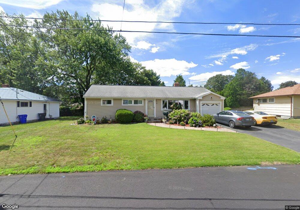
49 Riley Dr Riverside, RI 02915
Kent Heights NeighborhoodEstimated Value: $439,000 - $486,000
3
Beds
1
Bath
1,380
Sq Ft
$335/Sq Ft
Est. Value
About This Home
This home is located at 49 Riley Dr, Riverside, RI 02915 and is currently estimated at $462,214, approximately $334 per square foot. 49 Riley Dr is a home located in Providence County with nearby schools including East Providence High School, The Gordon School, and St Mary Academy-Bay View.
Ownership History
Date
Name
Owned For
Owner Type
Purchase Details
Closed on
Dec 29, 2011
Sold by
Mcgee Joseph J and Mcgee Lilllian M
Bought by
Galvao Pedro M and Galvao Grace M
Current Estimated Value
Home Financials for this Owner
Home Financials are based on the most recent Mortgage that was taken out on this home.
Original Mortgage
$209,549
Outstanding Balance
$141,175
Interest Rate
4%
Mortgage Type
Purchase Money Mortgage
Estimated Equity
$321,039
Create a Home Valuation Report for This Property
The Home Valuation Report is an in-depth analysis detailing your home's value as well as a comparison with similar homes in the area
Home Values in the Area
Average Home Value in this Area
Purchase History
We collect this data history from publicly available records. To have your information removed, we recommend requesting removal directly through your county’s website.
| Date | Buyer | Sale Price | Title Company |
|---|---|---|---|
| Galvao Pedro M | $215,000 | -- |
Source: Public Records
Mortgage History
We collect this data history from publicly available records. To have your information removed, we recommend requesting removal directly through your county’s website.
| Date | Status | Borrower | Loan Amount |
|---|---|---|---|
| Open | Galvao Pedro M | $2,237 | |
| Open | Galvao Pedro M | $209,549 | |
| Previous Owner | Galvao Pedro M | $30,000 |
Source: Public Records
Tax History
| Year | Tax Paid | Tax Assessment Tax Assessment Total Assessment is a certain percentage of the fair market value that is determined by local assessors to be the total taxable value of land and additions on the property. | Land | Improvement |
|---|---|---|---|---|
| 2025 | $5,731 | $438,500 | $139,700 | $298,800 |
| 2024 | $5,807 | $378,800 | $116,500 | $262,300 |
| 2023 | $5,591 | $378,800 | $116,500 | $262,300 |
| 2022 | $5,517 | $252,400 | $59,700 | $192,700 |
| 2021 | $5,427 | $252,400 | $59,700 | $192,700 |
| 2020 | $5,197 | $252,400 | $59,700 | $192,700 |
| 2019 | $5,053 | $252,400 | $59,700 | $192,700 |
| 2018 | $5,077 | $221,900 | $61,100 | $160,800 |
| 2017 | $4,964 | $221,900 | $61,100 | $160,800 |
| 2016 | $4,939 | $221,900 | $61,100 | $160,800 |
| 2015 | $4,608 | $200,800 | $53,900 | $146,900 |
| 2014 | $4,608 | $200,800 | $53,900 | $146,900 |
Source: Public Records
Map
Nearby Homes
- 26 Manning Dr
- 61 Ravena Ave
- 53 Wampanoag Trail
- 2919 Pawtucket Ave
- 14 Boyden Blvd
- 111 Wannamoisett Rd
- 220 Vincent Ave
- 0 Robinson St
- 14 Barnsdale Rd
- 149 Grassmere Ave
- 71 Fairview Ave
- 52 Maxfield Ave
- 62 Gardiner Ave
- 177 Dover Ave
- 14 Maxfield Ave
- 74 Brookhaven Dr
- 6 Fuller Ave
- 48 Jenks St
- 63 Indian Rd
- 680 Veterans Memorial Pkwy
Your Personal Tour Guide
Ask me questions while you tour the home.