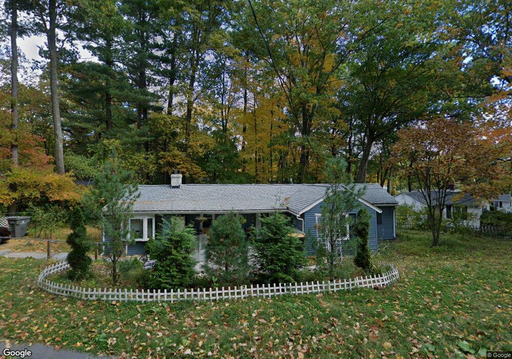
49 Rockridge Rd Framingham, MA 01702
Estimated Value: $471,000 - $697,000
2
Beds
2
Baths
988
Sq Ft
$582/Sq Ft
Est. Value
About This Home
This home is located at 49 Rockridge Rd, Framingham, MA 01702 and is currently estimated at $574,905, approximately $581 per square foot. 49 Rockridge Rd is a home located in Middlesex County with nearby schools including Framingham High School and Sudbury Valley School.
Ownership History
Date
Name
Owned For
Owner Type
Purchase Details
Closed on
Apr 23, 1998
Sold by
Harvey Joseph R and Harvey Judith L
Bought by
Quintal Ii Edward A and Boyle Mary A
Current Estimated Value
Home Financials for this Owner
Home Financials are based on the most recent Mortgage that was taken out on this home.
Original Mortgage
$119,600
Outstanding Balance
$22,723
Interest Rate
7.11%
Mortgage Type
Purchase Money Mortgage
Estimated Equity
$552,182
Purchase Details
Closed on
Mar 18, 1992
Sold by
Muratori Donald R and Muratori Patricia
Bought by
Harvey Joseph R and Harvey Judith L
Home Financials for this Owner
Home Financials are based on the most recent Mortgage that was taken out on this home.
Original Mortgage
$90,000
Interest Rate
8.62%
Mortgage Type
Purchase Money Mortgage
Create a Home Valuation Report for This Property
The Home Valuation Report is an in-depth analysis detailing your home's value as well as a comparison with similar homes in the area
Home Values in the Area
Average Home Value in this Area
Purchase History
| Date | Buyer | Sale Price | Title Company |
|---|---|---|---|
| Quintal Ii Edward A | $125,900 | -- | |
| Quintal Edward A | $125,900 | -- | |
| Harvey Joseph R | $100,000 | -- | |
| Harvey Joseph R | $100,000 | -- |
Source: Public Records
Mortgage History
| Date | Status | Borrower | Loan Amount |
|---|---|---|---|
| Open | Harvey Joseph R | $42,500 | |
| Open | Harvey Joseph R | $119,600 | |
| Closed | Harvey Joseph R | $119,600 | |
| Previous Owner | Harvey Joseph R | $90,000 |
Source: Public Records
Tax History Compared to Growth
Tax History
| Year | Tax Paid | Tax Assessment Tax Assessment Total Assessment is a certain percentage of the fair market value that is determined by local assessors to be the total taxable value of land and additions on the property. | Land | Improvement |
|---|---|---|---|---|
| 2025 | $6,055 | $507,100 | $302,000 | $205,100 |
| 2024 | $5,541 | $444,700 | $268,900 | $175,800 |
| 2023 | $5,360 | $409,500 | $247,800 | $161,700 |
| 2022 | $5,185 | $377,400 | $225,100 | $152,300 |
| 2021 | $5,068 | $360,700 | $216,300 | $144,400 |
| 2020 | $4,936 | $329,500 | $196,700 | $132,800 |
| 2019 | $4,563 | $296,700 | $174,400 | $122,300 |
| 2018 | $4,157 | $254,700 | $171,000 | $83,700 |
| 2017 | $4,086 | $244,500 | $166,000 | $78,500 |
| 2016 | $4,131 | $237,700 | $167,500 | $70,200 |
| 2015 | $4,147 | $232,700 | $167,900 | $64,800 |
Source: Public Records
Map
Nearby Homes
- 45 Gates St
- 1550 Worcester Rd Unit 621
- 1550 Worcester Rd Unit 101
- 3 Mccarthy Cir
- 0 Oregon Rd
- 1500 Worcester Rd Unit 202
- 1500 Worcester Rd Unit 502
- 1500 Worcester Rd Unit 215
- 1500 Worcester Rd Unit 624
- 1500 Worcester Rd Unit 217
- 43 Oregon Rd
- 10 Kings Row Ln
- 8 Pilgrim Rd
- 20 Rose Ln
- 1022 Pleasant St
- 1327 Old Worcester Rd
- 9 Pleasantview Terrace
- 1 Blueberry Ln
- 21 William Onthank Ln
- 13 Briarwood Rd