49 Rocky Rd E Harwinton, CT 06791
Estimated Value: $366,532 - $441,000
2
Beds
1
Bath
1,660
Sq Ft
$244/Sq Ft
Est. Value
About This Home
This home is located at 49 Rocky Rd E, Harwinton, CT 06791 and is currently estimated at $404,383, approximately $243 per square foot. 49 Rocky Rd E is a home located in Litchfield County with nearby schools including Harwinton Consolidated School, Har-Bur Middle School, and Lewis S. Mills High School.
Ownership History
Date
Name
Owned For
Owner Type
Purchase Details
Closed on
Oct 29, 2019
Sold by
Brochu Benoit S
Bought by
Brochu Benoit
Current Estimated Value
Purchase Details
Closed on
Dec 21, 1992
Sold by
Smith Ronald F
Bought by
Brochu Benoit S
Create a Home Valuation Report for This Property
The Home Valuation Report is an in-depth analysis detailing your home's value as well as a comparison with similar homes in the area
Home Values in the Area
Average Home Value in this Area
Purchase History
| Date | Buyer | Sale Price | Title Company |
|---|---|---|---|
| Brochu Benoit | -- | -- | |
| Brochu Benoit | -- | -- | |
| Brochu Benoit S | $70,000 | -- | |
| Brochu Benoit S | $70,000 | -- |
Source: Public Records
Mortgage History
| Date | Status | Borrower | Loan Amount |
|---|---|---|---|
| Previous Owner | Brochu Benoit S | $188,900 | |
| Previous Owner | Brochu Benoit S | $196,000 | |
| Previous Owner | Brochu Benoit S | $107,250 | |
| Previous Owner | Brochu Benoit S | $25,000 |
Source: Public Records
Tax History
| Year | Tax Paid | Tax Assessment Tax Assessment Total Assessment is a certain percentage of the fair market value that is determined by local assessors to be the total taxable value of land and additions on the property. | Land | Improvement |
|---|---|---|---|---|
| 2025 | $4,814 | $209,290 | $58,150 | $151,140 |
| 2024 | $4,793 | $209,290 | $58,150 | $151,140 |
| 2023 | $4,163 | $142,580 | $41,540 | $101,040 |
| 2022 | $4,064 | $142,580 | $41,540 | $101,040 |
| 2021 | $4,092 | $142,580 | $41,540 | $101,040 |
| 2020 | $3,992 | $142,580 | $41,540 | $101,040 |
| 2019 | $3,992 | $142,580 | $41,540 | $101,040 |
| 2018 | $3,991 | $142,550 | $44,190 | $98,360 |
| 2017 | $3,963 | $142,550 | $44,190 | $98,360 |
| 2016 | $3,963 | $142,550 | $44,190 | $98,360 |
| 2015 | $3,892 | $142,550 | $44,190 | $98,360 |
| 2014 | $3,835 | $142,550 | $44,190 | $98,360 |
Source: Public Records
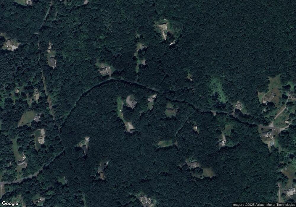
Map
Nearby Homes
Your Personal Tour Guide
Ask me questions while you tour the home.