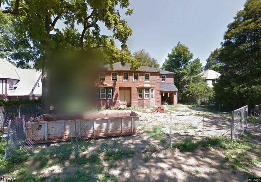
49 Rolling Hill Rd Manhasset, NY 11030
Estimated Value: $2,488,644 - $2,700,000
5
Beds
3
Baths
3,340
Sq Ft
$777/Sq Ft
Est. Value
About This Home
This home is located at 49 Rolling Hill Rd, Manhasset, NY 11030 and is currently estimated at $2,594,322, approximately $776 per square foot. 49 Rolling Hill Rd is a home located in Nassau County with nearby schools including Manhasset Secondary School, St Mary's Elementary School, and Our Lady of Grace Montessori School.
Ownership History
Date
Name
Owned For
Owner Type
Purchase Details
Closed on
Apr 13, 2017
Sold by
Svobodny Dolly D
Bought by
Lambros Elias H and Lambros Jaime K
Current Estimated Value
Home Financials for this Owner
Home Financials are based on the most recent Mortgage that was taken out on this home.
Original Mortgage
$1,529,150
Outstanding Balance
$1,272,483
Interest Rate
4.21%
Mortgage Type
New Conventional
Estimated Equity
$1,321,839
Create a Home Valuation Report for This Property
The Home Valuation Report is an in-depth analysis detailing your home's value as well as a comparison with similar homes in the area
Home Values in the Area
Average Home Value in this Area
Purchase History
| Date | Buyer | Sale Price | Title Company |
|---|---|---|---|
| Lambros Elias H | $1,799,000 | None Available |
Source: Public Records
Mortgage History
| Date | Status | Borrower | Loan Amount |
|---|---|---|---|
| Open | Lambros Elias H | $1,529,150 |
Source: Public Records
Tax History Compared to Growth
Tax History
| Year | Tax Paid | Tax Assessment Tax Assessment Total Assessment is a certain percentage of the fair market value that is determined by local assessors to be the total taxable value of land and additions on the property. | Land | Improvement |
|---|---|---|---|---|
| 2025 | $27,027 | $1,728 | $713 | $1,015 |
| 2024 | $8,598 | $1,669 | $767 | $902 |
| 2023 | $23,265 | $1,575 | $650 | $925 |
| 2022 | $23,265 | $1,835 | $722 | $1,113 |
| 2021 | $28,821 | $1,832 | $721 | $1,111 |
| 2020 | $30,978 | $2,923 | $1,918 | $1,005 |
| 2019 | $28,953 | $2,923 | $1,918 | $1,005 |
| 2018 | $27,439 | $2,923 | $0 | $0 |
| 2017 | $15,991 | $2,923 | $1,918 | $1,005 |
| 2016 | $25,362 | $2,521 | $1,918 | $603 |
| 2015 | $9,853 | $3,270 | $1,918 | $1,352 |
| 2014 | $9,853 | $3,270 | $1,918 | $1,352 |
| 2013 | $7,872 | $2,746 | $1,918 | $828 |
Source: Public Records
Map
Nearby Homes
- 44 Old ox Rd
- 414 Hunt Ln
- 60 Thayer Rd
- 65 Old Mill Rd
- 50 Eakins Rd
- 53 Stuart Place
- 305 Nassau Ave
- 39 Hawthorne Place
- 90 Gaynor Ave
- 80 Clapham Ave
- 15 Gaynor Ave Unit 2H
- 20 Mill Spring Rd
- 207 Mill Spring Rd
- 183 Mill Spring Rd
- 112 Chapel Rd
- 17 Highland Terrace
- 17 Pinewood Rd
- 10 Soundview Crest
- 42 Mora Ct
- 4 Kimson Ct
- 43 Rolling Hill Rd
- 55 Rolling Hill Rd
- 9 Woodcut Ln
- 50 Old ox Rd
- 15 Woodcut Ln
- 35 Rolling Hill Rd
- 38 Old ox Rd
- 46 Rolling Hill Rd
- 52 Rolling Hill Rd
- 56 Old ox Rd
- 40 Rolling Hill Rd
- 58 Rolling Hill Rd
- 34 Old ox Rd
- 27 Rolling Hill Rd
- 34 Rolling Hill Rd
- 10 Woodcut Ln
- 65 Rolling Hill Rd
- 16 Woodcut Ln
- 26 Rolling Hill Rd
- 22 Woodcut Ln