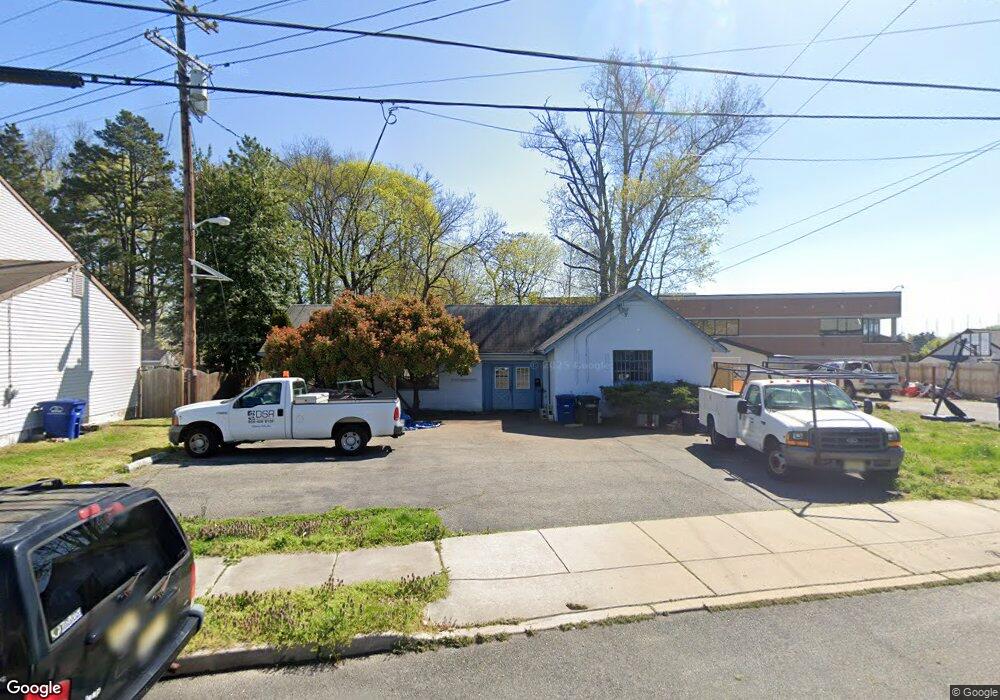
49 S Boulevard Ave Maple Shade, NJ 08052
Estimated Value: $297,078
Studio
--
Bath
2,152
Sq Ft
$138/Sq Ft
Est. Value
About This Home
This home is located at 49 S Boulevard Ave, Maple Shade, NJ 08052 and is currently estimated at $297,078, approximately $138 per square foot. 49 S Boulevard Ave is a home located in Burlington County with nearby schools including Ralph J Steinhauer Elementary School, Maude M. Wilkins Elementary School, and Howard R Yocum School.
Ownership History
Date
Name
Owned For
Owner Type
Purchase Details
Closed on
Jan 30, 2017
Sold by
Troso Frank A and Troso Tjheresa A
Bought by
Dany & Rania Pproperties Llc
Current Estimated Value
Home Financials for this Owner
Home Financials are based on the most recent Mortgage that was taken out on this home.
Original Mortgage
$113,300
Interest Rate
8%
Mortgage Type
Commercial
Create a Home Valuation Report for This Property
The Home Valuation Report is an in-depth analysis detailing your home's value as well as a comparison with similar homes in the area
Home Values in the Area
Average Home Value in this Area
Purchase History
| Date | Buyer | Sale Price | Title Company |
|---|---|---|---|
| Dany & Rania Pproperties Llc | $149,800 | Surety Title Co Llc |
Source: Public Records
Mortgage History
| Date | Status | Borrower | Loan Amount |
|---|---|---|---|
| Closed | Dany & Rania Pproperties Llc | $113,300 |
Source: Public Records
Tax History
| Year | Tax Paid | Tax Assessment Tax Assessment Total Assessment is a certain percentage of the fair market value that is determined by local assessors to be the total taxable value of land and additions on the property. | Land | Improvement |
|---|---|---|---|---|
| 2025 | $7,167 | $188,800 | $127,200 | $61,600 |
| 2024 | $6,959 | $188,800 | $127,200 | $61,600 |
| 2023 | $6,959 | $188,800 | $127,200 | $61,600 |
| 2022 | $6,852 | $188,800 | $127,200 | $61,600 |
| 2021 | $6,785 | $188,800 | $127,200 | $61,600 |
| 2020 | $6,804 | $188,800 | $127,200 | $61,600 |
| 2019 | $6,555 | $188,800 | $127,200 | $61,600 |
| 2018 | $6,442 | $188,800 | $127,200 | $61,600 |
| 2017 | $6,366 | $188,800 | $127,200 | $61,600 |
| 2016 | $6,272 | $188,800 | $127,200 | $61,600 |
| 2015 | $6,136 | $188,800 | $127,200 | $61,600 |
| 2014 | $5,949 | $188,800 | $127,200 | $61,600 |
Source: Public Records
Map
Nearby Homes
- 15 S Pine Ave
- 44 S Pine Ave
- 115 S Walnut Ave
- 26 Morris Ave
- 206 S Maple Ave
- 620 N Lincoln Ave
- 42 Spruce Ave
- 452 Elm Ave
- 61 S Maple Ave
- 5 Vincent Way
- 27 Domenica Dr
- 21 N Lenola Rd
- 9 N Lenola Rd
- 411 A3 Stiles Ave Unit A-3
- 411 C12 Stiles Ave Unit C-12
- 411 A2 Stiles Ave Unit A-2
- 106 Pine St
- 11 Errickson Ave
- 126 S Lenola Rd
- 207 E Park Ave
- 43 S Boulevard Ave
- 39 S Boulevard Ave
- 107 S Boulevard Ave
- 35 S Boulevard Ave
- 48 S Boulevard Ave
- 42 S Boulevard Ave
- 102 S Boulevard Ave
- 38 S Boulevard Ave
- 106 S Boulevard Ave
- 34 S Boulevard Ave
- 27 S Boulevard Ave
- 30 S Boulevard Ave
- 47 S Cedar Ave
- 103 S Cedar Ave
- 43 S Cedar Ave
- 107 S Cedar Ave
- 39 S Cedar Ave
- 202 S Boulevard Ave
- 26 S Boulevard Ave
- 111 S Cedar Ave
Your Personal Tour Guide
Ask me questions while you tour the home.