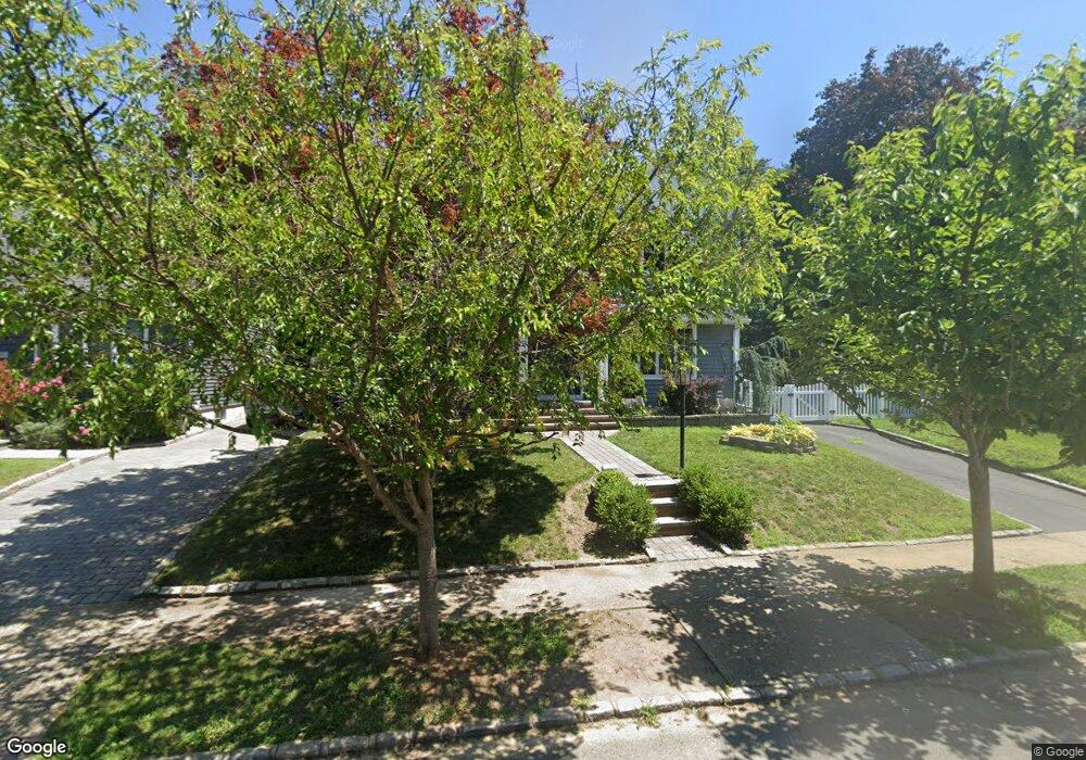
49 Shadyside Ave Port Washington, NY 11050
Estimated Value: $1,036,468 - $1,220,000
3
Beds
2
Baths
1,800
Sq Ft
$627/Sq Ft
Est. Value
About This Home
This home is located at 49 Shadyside Ave, Port Washington, NY 11050 and is currently estimated at $1,128,234, approximately $626 per square foot. 49 Shadyside Ave is a home located in Nassau County with nearby schools including John J. Daly Elementary School, Carrie Palmer Weber Middle School, and Paul D. Schreiber Senior High School.
Ownership History
Date
Name
Owned For
Owner Type
Purchase Details
Closed on
Sep 17, 2012
Sold by
Fogarty Paul and Fogarty Victoria
Bought by
Candres Andrew and Candres Maria
Current Estimated Value
Home Financials for this Owner
Home Financials are based on the most recent Mortgage that was taken out on this home.
Original Mortgage
$571,500
Outstanding Balance
$395,454
Interest Rate
3.57%
Estimated Equity
$732,780
Purchase Details
Closed on
Sep 21, 2004
Sold by
Mitsuya Kura
Bought by
Fogarty Paul
Purchase Details
Closed on
Sep 13, 1997
Sold by
Mitsuya Kazuo Kura
Bought by
Mitsuya Kura Jun
Create a Home Valuation Report for This Property
The Home Valuation Report is an in-depth analysis detailing your home's value as well as a comparison with similar homes in the area
Home Values in the Area
Average Home Value in this Area
Purchase History
| Date | Buyer | Sale Price | Title Company |
|---|---|---|---|
| Candres Andrew | -- | -- | |
| Fogarty Paul | $558,000 | -- | |
| Mitsuya Kura Jun | $100,000 | -- |
Source: Public Records
Mortgage History
| Date | Status | Borrower | Loan Amount |
|---|---|---|---|
| Open | Candres Andrew | $571,500 |
Source: Public Records
Tax History Compared to Growth
Tax History
| Year | Tax Paid | Tax Assessment Tax Assessment Total Assessment is a certain percentage of the fair market value that is determined by local assessors to be the total taxable value of land and additions on the property. | Land | Improvement |
|---|---|---|---|---|
| 2025 | $17,902 | $762 | $375 | $387 |
| 2024 | $5,295 | $752 | $370 | $382 |
| 2023 | $17,272 | $824 | $405 | $419 |
| 2022 | $17,272 | $824 | $405 | $419 |
| 2021 | $16,819 | $819 | $403 | $416 |
| 2020 | $16,269 | $1,115 | $731 | $384 |
| 2019 | $15,596 | $1,115 | $731 | $384 |
| 2018 | $13,670 | $1,115 | $0 | $0 |
| 2017 | $7,594 | $1,115 | $731 | $384 |
| 2016 | $12,120 | $1,115 | $731 | $384 |
| 2015 | $4,423 | $1,115 | $665 | $450 |
| 2014 | $4,423 | $1,115 | $665 | $450 |
| 2013 | $4,143 | $1,115 | $665 | $450 |
Source: Public Records
Map
Nearby Homes
- 51 Highfield Ave
- 5 Pepperday Ave
- 33 Avenue B
- 102 Shadyside Ave
- 111 Fairfield Ave
- 1 Ann Place
- 24 Henderson Ave
- 159 Soundview Dr
- 89 Pond View Dr
- 103 Pond View Dr
- 43 Miro Place
- 134 Pond View Dr
- 50 Soundview Dr
- 11 Fishermans Dr
- 11 Middle Rd
- 139 Cow Neck Rd
- 39 Annette Dr
- 31 Annette Dr
- 57 Sandy Hollow Rd
- 96 Old House Ln
- 51 Shadyside Ave
- 43 Shadyside Ave
- 53 Shadyside Ave
- 60 Middle Neck Rd
- 41 Shadyside Ave
- 62 Middle Neck Rd
- 56 Middle Neck Rd
- 48 Shadyside Ave
- 44 Shadyside Ave
- 64 Middle Neck Rd
- 39 Shadyside Ave
- 55 Shadyside Ave
- 42 Shadyside Ave
- 54 Middle Neck Rd
- 50 Shadyside Ave
- 6 Radcliff Ave
- 40 Shadyside Ave
- 52 Middle Neck Rd
- 66 Middle Neck Rd