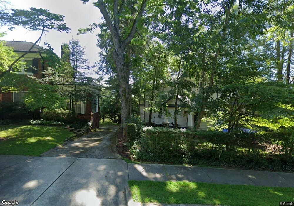
49 Sherwood Rd Asheville, NC 28803
East End NeighborhoodEstimated Value: $946,000 - $1,241,000
4
Beds
3
Baths
3,517
Sq Ft
$302/Sq Ft
Est. Value
About This Home
This home is located at 49 Sherwood Rd, Asheville, NC 28803 and is currently estimated at $1,063,801, approximately $302 per square foot. 49 Sherwood Rd is a home located in Buncombe County with nearby schools including Isaac Dickson Elementary, Hall Fletcher Elementary, and Ira B Jones Elementary.
Ownership History
Date
Name
Owned For
Owner Type
Purchase Details
Closed on
Oct 13, 2000
Sold by
Key Adelaide Daniels
Bought by
Jackson Jacob Rus and Rokeby Jackson Christine
Current Estimated Value
Home Financials for this Owner
Home Financials are based on the most recent Mortgage that was taken out on this home.
Original Mortgage
$172,000
Outstanding Balance
$62,906
Interest Rate
7.96%
Mortgage Type
Purchase Money Mortgage
Estimated Equity
$1,000,895
Create a Home Valuation Report for This Property
The Home Valuation Report is an in-depth analysis detailing your home's value as well as a comparison with similar homes in the area
Home Values in the Area
Average Home Value in this Area
Purchase History
| Date | Buyer | Sale Price | Title Company |
|---|---|---|---|
| Jackson Jacob Rus | $215,000 | -- |
Source: Public Records
Mortgage History
| Date | Status | Borrower | Loan Amount |
|---|---|---|---|
| Open | Jackson Jacob Rus | $172,000 |
Source: Public Records
Tax History Compared to Growth
Tax History
| Year | Tax Paid | Tax Assessment Tax Assessment Total Assessment is a certain percentage of the fair market value that is determined by local assessors to be the total taxable value of land and additions on the property. | Land | Improvement |
|---|---|---|---|---|
| 2025 | $5,845 | $559,200 | $110,400 | $448,800 |
| 2024 | $5,845 | $559,200 | $110,400 | $448,800 |
| 2023 | $5,845 | $559,200 | $110,400 | $448,800 |
| 2022 | $5,643 | $559,200 | $0 | $0 |
| 2021 | $5,613 | $559,200 | $0 | $0 |
| 2020 | $5,240 | $482,800 | $0 | $0 |
| 2019 | $5,240 | $482,800 | $0 | $0 |
| 2018 | $5,210 | $482,800 | $0 | $0 |
| 2017 | $5,257 | $341,900 | $0 | $0 |
| 2016 | $4,202 | $341,900 | $0 | $0 |
| 2015 | $4,202 | $341,900 | $0 | $0 |
| 2014 | $4,151 | $341,900 | $0 | $0 |
Source: Public Records
Map
Nearby Homes
- 56 Sherwood Rd
- 64 Wyoming Rd
- 109 Thurland Ave
- 13 Castle St Unit A and B
- 110 Unadilla Ave
- 38 Unadilla Alley
- 71 Mclain St
- 22 Samuel Ashe Dr Unit 45
- 19 Castle St
- 44 Samuel Ashe Dr Unit 55
- 44 Samuel Ashe Dr
- 20 & 28 Toby Dr
- 30 Caledonia Rd
- 615 Biltmore Ave Unit M3
- 615 Biltmore Ave Unit K2
- 99999 Sterling St
- 261 Forest Hill Dr
- 429 Bowling Park Rd
- 204 Bowling Park Rd
- 15 Grindstaff Dr
- 59 Sherwood Rd
- 39 Sherwood Rd
- 54 Sherwood Rd
- 30 Sherwood Rd
- 71 Sherwood Rd
- 64 Sherwood Rd
- 44 Forest Hill Dr
- 35 Sherwood Rd
- 9999 Sherwood Rd
- 72 Sherwood Rd
- 31 Sherwood Rd
- 36 Forest Hill Dr
- 56 Arden Rd
- 000 Sherwood Rd
- 000 Sherwood Rd
- 80 Sherwood Rd
- 34 Forest Hill Dr
- 28 Forest Hill Dr
- 15 Arden Rd
- 42 Forest Hill Dr