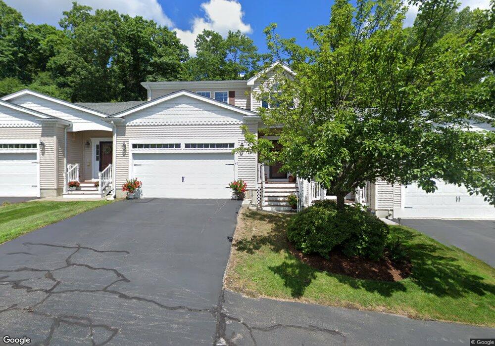
49 Spruce St Unit 49-B7 Northbridge, MA 01534
Estimated Value: $432,000 - $475,000
2
Beds
2
Baths
1,437
Sq Ft
$319/Sq Ft
Est. Value
About This Home
This home is located at 49 Spruce St Unit 49-B7, Northbridge, MA 01534 and is currently estimated at $458,425, approximately $319 per square foot. 49 Spruce St Unit 49-B7 is a home located in Worcester County with nearby schools including Northbridge Elementary School, Northbridge Middle School, and Northbridge High School.
Ownership History
Date
Name
Owned For
Owner Type
Purchase Details
Closed on
Jan 24, 2020
Sold by
Aris Group Llc
Bought by
Ogrady Karen A
Current Estimated Value
Home Financials for this Owner
Home Financials are based on the most recent Mortgage that was taken out on this home.
Original Mortgage
$270,750
Outstanding Balance
$238,705
Interest Rate
3.6%
Mortgage Type
New Conventional
Estimated Equity
$219,720
Purchase Details
Closed on
Jun 27, 2014
Sold by
J & F Marinella Dev Corp
Bought by
Aris Group Llc
Create a Home Valuation Report for This Property
The Home Valuation Report is an in-depth analysis detailing your home's value as well as a comparison with similar homes in the area
Home Values in the Area
Average Home Value in this Area
Purchase History
| Date | Buyer | Sale Price | Title Company |
|---|---|---|---|
| Ogrady Karen A | $285,000 | None Available | |
| Ogrady Karen A | $285,000 | None Available | |
| Ogrady Karen A | $285,000 | None Available | |
| Aris Group Llc | $450,000 | -- | |
| Aris Group Llc | $450,000 | -- |
Source: Public Records
Mortgage History
| Date | Status | Borrower | Loan Amount |
|---|---|---|---|
| Open | Ogrady Karen A | $270,750 | |
| Closed | Ogrady Karen A | $270,750 |
Source: Public Records
Tax History Compared to Growth
Tax History
| Year | Tax Paid | Tax Assessment Tax Assessment Total Assessment is a certain percentage of the fair market value that is determined by local assessors to be the total taxable value of land and additions on the property. | Land | Improvement |
|---|---|---|---|---|
| 2025 | $5,072 | $430,200 | $0 | $430,200 |
| 2024 | $4,808 | $397,700 | $0 | $397,700 |
| 2023 | $4,005 | $309,000 | $0 | $309,000 |
| 2022 | $3,851 | $279,700 | $0 | $279,700 |
| 2021 | $3,922 | $270,700 | $0 | $270,700 |
| 2020 | $3,597 | $259,900 | $0 | $259,900 |
| 2019 | $3,231 | $249,100 | $0 | $249,100 |
| 2018 | $3,084 | $238,300 | $0 | $238,300 |
| 2017 | $3,385 | $250,200 | $0 | $250,200 |
| 2016 | $3,197 | $232,500 | $0 | $232,500 |
| 2015 | $3,111 | $232,500 | $0 | $232,500 |
| 2014 | $2,990 | $225,500 | $0 | $225,500 |
Source: Public Records
Map
Nearby Homes
- 2767 Providence Rd
- 86 Mikes Way Unit 86
- 84 Mikes Way Unit 84
- 395 Providence Rd Unit 4
- 151 Fowler Rd
- 150 Sprague St
- 79-81 Upton St
- 19 Milford Rd
- 58 Buttercup Ln
- 61 Tulip Cir
- 89 Buttercup Ln Unit 255
- 42 Shining Rock Dr
- 1076 Hill St
- 1880 Providence Rd
- 119 Susanne Dr
- 7 Central Turnpike
- 12 Central Turnpike
- 191 Hartness Rd
- 135 Windstone Dr
- 1825 Quaker St
- 49 Spruce St
- 47 Spruce St
- 45 Spruce St
- 47 Spruce St Unit 47-B7
- 45 Spruce St Unit 45-B7
- 47 Spruce St Unit 47
- 25 Spruce St Unit 25
- 55 Spruce St
- 53 Spruce St
- 51 Spruce St
- 43 Spruce St
- 41 Spruce St
- 27 Spruce St
- 25 Spruce St
- 19 Hemlock St
- 17 Hemlock St
- 15 Hemlock St
- 51 Spruce St Unit 51
- 55 Spruce St Unit 55-B8
- 51 Spruce St Unit 51-B8