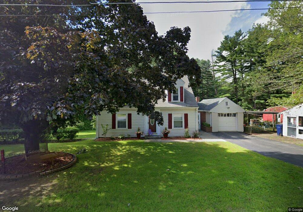
49 Stafford St Charlton, MA 01507
Estimated Value: $300,000 - $333,000
2
Beds
1
Bath
1,152
Sq Ft
$275/Sq Ft
Est. Value
About This Home
This home is located at 49 Stafford St, Charlton, MA 01507 and is currently estimated at $316,331, approximately $274 per square foot. 49 Stafford St is a home located in Worcester County with nearby schools including Shepherd Hill Regional High School.
Ownership History
Date
Name
Owned For
Owner Type
Purchase Details
Closed on
Oct 7, 2021
Sold by
1997 Duhamel Ft and Barton
Bought by
Barton Wendy R
Current Estimated Value
Purchase Details
Closed on
Aug 7, 1992
Sold by
Eastty David E and Eastty Jayne
Bought by
Duhamel Raymond J and Duhamel Evelyn
Purchase Details
Closed on
Aug 5, 1991
Sold by
Rose Donald C and Rose Shirley
Bought by
Eastty David E and Eastty Jayne
Create a Home Valuation Report for This Property
The Home Valuation Report is an in-depth analysis detailing your home's value as well as a comparison with similar homes in the area
Home Values in the Area
Average Home Value in this Area
Purchase History
| Date | Buyer | Sale Price | Title Company |
|---|---|---|---|
| Barton Wendy R | -- | None Available | |
| Barton Wendy R | -- | None Available | |
| Duhamel Raymond J | $5,000 | -- | |
| Duhamel Raymond J | $5,000 | -- | |
| Eastty David E | $30,000 | -- |
Source: Public Records
Mortgage History
| Date | Status | Borrower | Loan Amount |
|---|---|---|---|
| Previous Owner | Eastty David E | $20,000 |
Source: Public Records
Tax History Compared to Growth
Tax History
| Year | Tax Paid | Tax Assessment Tax Assessment Total Assessment is a certain percentage of the fair market value that is determined by local assessors to be the total taxable value of land and additions on the property. | Land | Improvement |
|---|---|---|---|---|
| 2025 | $2,890 | $259,700 | $73,700 | $186,000 |
| 2024 | $2,810 | $247,800 | $71,000 | $176,800 |
| 2023 | $2,741 | $225,200 | $68,200 | $157,000 |
| 2022 | $2,623 | $197,400 | $67,100 | $130,300 |
| 2021 | $2,618 | $174,400 | $65,500 | $108,900 |
| 2020 | $2,523 | $168,900 | $60,000 | $108,900 |
| 2019 | $2,495 | $168,900 | $60,000 | $108,900 |
| 2018 | $2,280 | $168,900 | $60,000 | $108,900 |
| 2017 | $2,092 | $148,400 | $54,600 | $93,800 |
| 2016 | $2,045 | $148,400 | $54,600 | $93,800 |
| 2015 | $1,992 | $148,400 | $54,600 | $93,800 |
| 2014 | $1,943 | $153,500 | $61,300 | $92,200 |
Source: Public Records
Map
Nearby Homes
- 0 Trolley Crossing Rd
- 38 Stevens Park Rd
- 102 Worcester Rd
- 5 Carpenter Hill Rd
- 0 Worcester Rd
- 25 N Main St Unit A
- 28 Southbridge Rd Unit 402
- 57 Carpenter Hill Rd
- 7 L Stevens Rd Unit A
- 7 L Stevens Rd Unit B
- 8 Northside Rd
- 6 S Sullivan Rd
- 68 - 74 Sturbridge Rd
- 208 Sunset Dr
- Lot 3 0 N Sullivan Rd
- Lot 6 0 N Sullivan Rd
- Lot 5 0 N Sullivan Rd
- Lot 4 0 N Sullivan Rd
- 7 Little Muggett Rd
- 38 N Sullivan Rd
- 45 Stafford St
- 54 Stafford St
- 48 Stafford St
- 56 Stafford St
- 41 Stafford St
- 44 Stafford St Unit 1,2,3
- 44 Stafford St Unit varies
- 26 City Depot Rd
- Lot 0 Stafford St
- 39 Stafford St
- 38 Stafford St
- 22 City Depot Rd
- 34 Stafford St
- 33 Stafford St
- 21 City Depot Rd
- 32 Stafford St
- 30 Spafford St
- 19 City Depot Rd
- 28 Stafford St
- 15 City Depot Rd