49 Starr Ln Unit Lt 12 Bethel, CT 06801
Estimated Value: $1,112,000 - $1,781,000
4
Beds
4
Baths
5,242
Sq Ft
$273/Sq Ft
Est. Value
About This Home
This home is located at 49 Starr Ln Unit Lt 12, Bethel, CT 06801 and is currently estimated at $1,430,215, approximately $272 per square foot. 49 Starr Ln Unit Lt 12 is a home located in Fairfield County with nearby schools including R.M.T. Johnson School, Bethel Middle School, and Bethel High School.
Ownership History
Date
Name
Owned For
Owner Type
Purchase Details
Closed on
Jun 9, 2023
Sold by
Gama Developers Inc
Bought by
Woodcock Paul J and Clahar Patricia A
Current Estimated Value
Home Financials for this Owner
Home Financials are based on the most recent Mortgage that was taken out on this home.
Original Mortgage
$1,040,000
Outstanding Balance
$1,012,190
Interest Rate
6.39%
Mortgage Type
Purchase Money Mortgage
Estimated Equity
$418,025
Purchase Details
Closed on
Mar 26, 2021
Sold by
Gama Dev Inc
Bought by
Barbarie Thomas J
Create a Home Valuation Report for This Property
The Home Valuation Report is an in-depth analysis detailing your home's value as well as a comparison with similar homes in the area
Home Values in the Area
Average Home Value in this Area
Purchase History
| Date | Buyer | Sale Price | Title Company |
|---|---|---|---|
| Woodcock Paul J | $1,300,000 | None Available | |
| Barbarie Thomas J | -- | None Available |
Source: Public Records
Mortgage History
| Date | Status | Borrower | Loan Amount |
|---|---|---|---|
| Open | Woodcock Paul J | $1,040,000 |
Source: Public Records
Tax History Compared to Growth
Tax History
| Year | Tax Paid | Tax Assessment Tax Assessment Total Assessment is a certain percentage of the fair market value that is determined by local assessors to be the total taxable value of land and additions on the property. | Land | Improvement |
|---|---|---|---|---|
| 2024 | $25,855 | $886,340 | $168,350 | $717,990 |
| 2023 | $16,621 | $584,640 | $168,350 | $416,290 |
| 2022 | $7,673 | $221,830 | $168,350 | $53,480 |
| 2021 | $5,808 | $169,540 | $169,540 | $0 |
| 2020 | $5,720 | $169,540 | $169,540 | $0 |
| 2019 | $5,664 | $169,540 | $169,540 | $0 |
| 2018 | $5,573 | $169,540 | $169,540 | $0 |
| 2017 | $4,712 | $143,320 | $143,320 | $0 |
| 2016 | $4,611 | $143,320 | $143,320 | $0 |
| 2015 | $4,612 | $143,320 | $143,320 | $0 |
| 2014 | $4,602 | $143,320 | $143,320 | $0 |
Source: Public Records
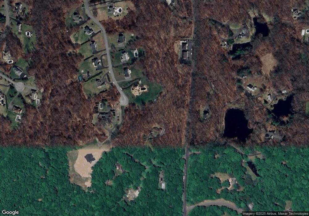
Map
Nearby Homes
- 49 Starr Ln
- 11 Marywood Rd
- 15 Bartram Dr
- 4 Stone Dam Rd
- 173 Chestnut Ridge Rd
- 74 Wolfpits Rd
- 194 Lonetown Rd
- 149 Chestnut Ridge Rd
- 10 Jennifers Way
- 12 Canaan Dr
- 6 Gretchen Ln
- 38 Aunt Pattys Ln W
- 14 Winthrop Rd
- 16 Ichabod Ln
- 43 Katrina Cir
- 28 Sunnyview Dr
- 10 Buckboard Ridge
- 134 Nashville Rd
- 4 Winthrop Rd
- 145 Limekiln Rd
- 136 Putnam Park Rd
- 45 Starr Ln
- 142 Putnam Park Rd
- 47 Starr Ln Unit Lt 11
- 47 Starr Ln
- 140 Putnam Park Rd
- 43 Starr Ln Unit Lt 10
- 134 Putnam Park Rd
- 138 Putnam Park Rd
- 39 Starr Ln
- 6 Gabriella Ct
- 5 Gabriella Ct
- 42 Starr Ln
- 42 Starr Ln Unit Lt 5
- 37 Starr Ln
- 3 Gabriella Ct
- 38 Starr Ln
- 40 Starr Ln Unit Lt 4
- 4 Gabriella Ct
- 148 Putnam Park Rd