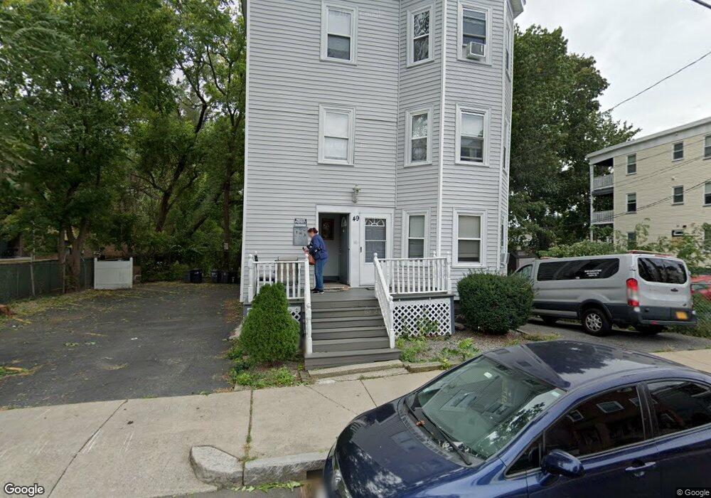
49 Stellman Rd Roslindale, MA 02131
Roslindale NeighborhoodEstimated Value: $1,076,000 - $1,317,589
9
Beds
3
Baths
3,210
Sq Ft
$373/Sq Ft
Est. Value
About This Home
This home is located at 49 Stellman Rd, Roslindale, MA 02131 and is currently estimated at $1,197,147, approximately $372 per square foot. 49 Stellman Rd is a home located in Suffolk County with nearby schools including Brooke Charter School Roslindale, The Croft School - Jamaica Plain, and Sacred Heart STEM School.
Ownership History
Date
Name
Owned For
Owner Type
Purchase Details
Closed on
May 6, 2004
Sold by
Avery Robert L
Bought by
Avery James W
Current Estimated Value
Home Financials for this Owner
Home Financials are based on the most recent Mortgage that was taken out on this home.
Original Mortgage
$460,000
Outstanding Balance
$214,004
Interest Rate
5.39%
Mortgage Type
Purchase Money Mortgage
Estimated Equity
$983,143
Purchase Details
Closed on
Jul 3, 2001
Sold by
Avery James and Avery Avery
Bought by
Avery Robert L
Home Financials for this Owner
Home Financials are based on the most recent Mortgage that was taken out on this home.
Original Mortgage
$161,250
Interest Rate
7.14%
Mortgage Type
Purchase Money Mortgage
Purchase Details
Closed on
Jan 14, 1997
Sold by
Baybank
Bought by
Avery James W
Create a Home Valuation Report for This Property
The Home Valuation Report is an in-depth analysis detailing your home's value as well as a comparison with similar homes in the area
Home Values in the Area
Average Home Value in this Area
Purchase History
| Date | Buyer | Sale Price | Title Company |
|---|---|---|---|
| Avery James W | $575,000 | -- | |
| Avery Robert L | $215,000 | -- | |
| Avery James W | $70,000 | -- |
Source: Public Records
Mortgage History
| Date | Status | Borrower | Loan Amount |
|---|---|---|---|
| Open | Avery James W | $460,000 | |
| Previous Owner | Avery James W | $400,000 | |
| Previous Owner | Avery James W | $161,250 |
Source: Public Records
Tax History Compared to Growth
Tax History
| Year | Tax Paid | Tax Assessment Tax Assessment Total Assessment is a certain percentage of the fair market value that is determined by local assessors to be the total taxable value of land and additions on the property. | Land | Improvement |
|---|---|---|---|---|
| 2025 | $11,384 | $983,100 | $246,700 | $736,400 |
| 2024 | $10,213 | $937,000 | $249,600 | $687,400 |
| 2023 | $9,585 | $892,500 | $237,800 | $654,700 |
| 2022 | $9,244 | $849,600 | $226,300 | $623,300 |
| 2021 | $8,801 | $824,800 | $219,700 | $605,100 |
| 2020 | $7,113 | $673,600 | $211,400 | $462,200 |
| 2019 | $6,454 | $612,370 | $162,830 | $449,540 |
| 2018 | $5,998 | $572,375 | $162,830 | $409,545 |
| 2017 | $5,771 | $544,920 | $162,830 | $382,090 |
| 2016 | $5,709 | $518,985 | $162,830 | $356,155 |
| 2015 | $5,396 | $445,550 | $121,030 | $324,520 |
| 2014 | $4,857 | $386,080 | $121,030 | $265,050 |
Source: Public Records
Map
Nearby Homes
- 187 Florence St Unit 2L
- 108 Florence St Unit 3
- 108 Florence St Unit 1
- 108 Florence St Unit 4
- 620 South St
- 4031 Washington St
- 173 Brookway Rd
- 348-350 Hyde Park Ave Unit 2
- 4012 Washington St
- 19 Delford St
- 19 Delford St Unit 1
- 18-20 Northbourne Rd Unit 18
- 36 Neponset Ave Unit 1
- 50 Southbourne Rd
- 67 Cummins Hwy Unit 101
- 32 Jewett St
- 27 Rowe St
- 105 Neponset Ave Unit 105
- 31 Rodman St Unit 2
- 31 Rodman St Unit 1
- 43 Stellman Rd Unit 3
- 43 Stellman Rd Unit 2
- 43 Stellman Rd Unit 1
- 43 Stellman Rd
- 48 Stellman Rd Unit 50
- 46 Stellman Rd
- 46 Stellman Rd Unit 2
- 41 Stellman Rd
- 41 Stellman Rd Unit 3
- 44 Stellman Rd
- 44 Stellman Rd Unit 2
- 39 Stellman Rd
- 39 Stellman Rd Unit 2
- 39 Stellman Rd Unit 3
- 43 Granfield Ave Unit 45
- 40 Stellman Rd
- 40 Stellman Rd Unit THREE
- 40 Stellman Rd Unit 2
- 40 Stellman Rd Unit 1
- 40 Stellman Rd Unit 3