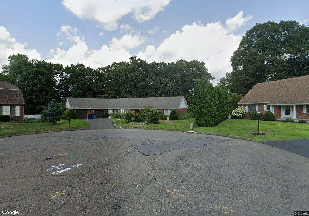
49 Tee Ln Wethersfield, CT 06109
Estimated Value: $566,000 - $588,000
3
Beds
3
Baths
2,329
Sq Ft
$247/Sq Ft
Est. Value
About This Home
This home is located at 49 Tee Ln, Wethersfield, CT 06109 and is currently estimated at $575,699, approximately $247 per square foot. 49 Tee Ln is a home located in Hartford County with nearby schools including Highcrest School, Silas Deane Middle School, and Wethersfield High School.
Ownership History
Date
Name
Owned For
Owner Type
Purchase Details
Closed on
Jun 30, 2025
Sold by
Cantone Ft and Caafiore
Bought by
Turrisi Maria and Turrisi Andrea
Current Estimated Value
Purchase Details
Closed on
Jun 21, 2023
Sold by
Mcgreal Construction Llc
Bought by
Mcgreal Michael
Home Financials for this Owner
Home Financials are based on the most recent Mortgage that was taken out on this home.
Original Mortgage
$240,000
Interest Rate
6.35%
Mortgage Type
New Conventional
Purchase Details
Closed on
Oct 20, 2011
Sold by
Cantone Salvatore and Cantone Sebastiana
Bought by
Cantone Gaetano and Calafiore Lena
Create a Home Valuation Report for This Property
The Home Valuation Report is an in-depth analysis detailing your home's value as well as a comparison with similar homes in the area
Home Values in the Area
Average Home Value in this Area
Purchase History
| Date | Buyer | Sale Price | Title Company |
|---|---|---|---|
| Turrisi Maria | $580,000 | -- | |
| Turrisi Maria | $580,000 | -- | |
| Mcgreal Michael | -- | None Available | |
| Mcgreal Michael | -- | None Available | |
| Cantone Gaetano | -- | -- | |
| Cantone Gaetano | -- | -- |
Source: Public Records
Mortgage History
| Date | Status | Borrower | Loan Amount |
|---|---|---|---|
| Previous Owner | Mcgreal Michael | $240,000 |
Source: Public Records
Tax History
| Year | Tax Paid | Tax Assessment Tax Assessment Total Assessment is a certain percentage of the fair market value that is determined by local assessors to be the total taxable value of land and additions on the property. | Land | Improvement |
|---|---|---|---|---|
| 2025 | $13,626 | $330,570 | $111,900 | $218,670 |
| 2024 | $10,503 | $243,010 | $88,370 | $154,640 |
| 2023 | $10,153 | $243,010 | $88,370 | $154,640 |
| 2022 | $9,983 | $243,010 | $88,370 | $154,640 |
| 2021 | $9,883 | $243,010 | $88,370 | $154,640 |
| 2020 | $9,888 | $243,010 | $88,370 | $154,640 |
| 2019 | $9,900 | $243,010 | $88,370 | $154,640 |
| 2018 | $9,893 | $242,600 | $94,900 | $147,700 |
| 2017 | $9,648 | $242,600 | $94,900 | $147,700 |
| 2016 | $9,350 | $242,600 | $94,900 | $147,700 |
| 2015 | $9,265 | $242,600 | $94,900 | $147,700 |
| 2014 | $8,913 | $242,600 | $94,900 | $147,700 |
Source: Public Records
Map
Nearby Homes
- 268 Fox Hill Rd
- 0 Collier Rd
- 101 Collier Rd
- 155 Old Common Rd
- 89 Merriman Rd
- 34 Rose Ct
- 5 Westmont Rd
- 455 Brimfield Rd
- 76 Luca Lane Homesite 8
- 61 Luca Ln
- 25 Heather Hill
- 6 Vinnie Dr
- 250 Edward St
- 38 Wheeler Rd
- 138 Cypress Rd Unit 138
- 238 Two Rod Hwy
- 137 Dale Rd
- 11 Charter Rd
- 170 Whitewood Dr
- 750 Wolcott Hill Rd
Your Personal Tour Guide
Ask me questions while you tour the home.