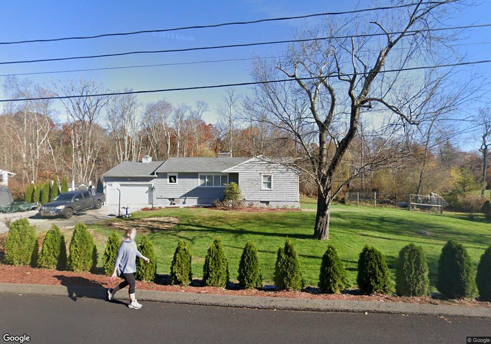
49 Tower Rd Brookfield, CT 06804
Estimated Value: $500,000 - $553,746
3
Beds
3
Baths
1,624
Sq Ft
$324/Sq Ft
Est. Value
About This Home
This home is located at 49 Tower Rd, Brookfield, CT 06804 and is currently estimated at $525,687, approximately $323 per square foot. 49 Tower Rd is a home located in Fairfield County with nearby schools including Whisconier Middle School, Brookfield High School, and Montessori Community School at Brookfield.
Ownership History
Date
Name
Owned For
Owner Type
Purchase Details
Closed on
Aug 20, 2010
Sold by
Astoria Fed S&L
Bought by
Dacosta Melissa
Current Estimated Value
Home Financials for this Owner
Home Financials are based on the most recent Mortgage that was taken out on this home.
Original Mortgage
$211,400
Outstanding Balance
$171,396
Interest Rate
4.63%
Estimated Equity
$354,291
Purchase Details
Closed on
Jun 16, 2010
Sold by
Schalkham John
Bought by
Astoria Federal S&L
Purchase Details
Closed on
Nov 3, 2003
Sold by
Couture Theodore
Bought by
Schalkham John and Schalkham Cheryl
Create a Home Valuation Report for This Property
The Home Valuation Report is an in-depth analysis detailing your home's value as well as a comparison with similar homes in the area
Home Values in the Area
Average Home Value in this Area
Purchase History
| Date | Buyer | Sale Price | Title Company |
|---|---|---|---|
| Dacosta Melissa | $235,000 | -- | |
| Dacosta Melissa | $235,000 | -- | |
| Astoria Federal S&L | -- | -- | |
| Astoria Federal S & L | -- | -- | |
| Schalkham John | $329,500 | -- | |
| Schalkham John | $329,500 | -- |
Source: Public Records
Mortgage History
| Date | Status | Borrower | Loan Amount |
|---|---|---|---|
| Open | Schalkham John | $211,400 | |
| Closed | Schalkham John | $211,400 | |
| Previous Owner | Schalkham John | $330,000 |
Source: Public Records
Tax History
| Year | Tax Paid | Tax Assessment Tax Assessment Total Assessment is a certain percentage of the fair market value that is determined by local assessors to be the total taxable value of land and additions on the property. | Land | Improvement |
|---|---|---|---|---|
| 2025 | $8,533 | $294,950 | $89,020 | $205,930 |
| 2024 | $8,229 | $294,950 | $89,020 | $205,930 |
| 2023 | $7,922 | $294,950 | $89,020 | $205,930 |
| 2022 | $7,633 | $294,950 | $89,020 | $205,930 |
| 2021 | $7,043 | $233,980 | $98,910 | $135,070 |
| 2020 | $6,938 | $233,980 | $98,910 | $135,070 |
| 2019 | $6,818 | $233,980 | $98,910 | $135,070 |
| 2018 | $5,113 | $233,980 | $98,910 | $135,070 |
| 2017 | $6,385 | $233,980 | $98,910 | $135,070 |
| 2016 | $5,087 | $192,700 | $107,560 | $85,140 |
| 2015 | $4,948 | $192,520 | $107,560 | $84,960 |
| 2014 | $4,948 | $192,520 | $107,560 | $84,960 |
Source: Public Records
Map
Nearby Homes
- 27 Obtuse Rd S
- 1 Dunsinane Rd
- 23 Sunset Hill Rd
- 19 A Apache Dr
- 70 Obtuse Hill Rd
- 95 Obtuse Rd S
- 99 Obtuse Hill Rd
- 23 Farrell Rd
- 16 Farrell Rd
- 29 Ledgewood Dr
- 9 Obtuse Rocks Rd
- 6 Comstock Trail Unit 6
- 63 Parmalee Hill Rd
- 55A Butterfield Rd
- 10 Briarwood Ln
- 14 Dinglebrook Ln
- 28 Rollingwood Dr
- 1 Essex Ct Unit 1
- 4 Arlington Ct
- 11 Eden Ct Unit 11
Your Personal Tour Guide
Ask me questions while you tour the home.