49 Tower Rock Rd Cascade, MT 59421
Estimated Value: $1,031,075 - $1,483,000
2
Beds
2
Baths
2,023
Sq Ft
$630/Sq Ft
Est. Value
About This Home
This home is located at 49 Tower Rock Rd, Cascade, MT 59421 and is currently estimated at $1,273,692, approximately $629 per square foot. 49 Tower Rock Rd is a home located in Cascade County with nearby schools including Cascade School, Cascade Junior High School, and Cascade High School.
Ownership History
Date
Name
Owned For
Owner Type
Purchase Details
Closed on
Oct 15, 2025
Sold by
Donovan William A and Salley Wendy A
Bought by
William Donovan And Wendy Salley Living Trust and Donovan
Current Estimated Value
Purchase Details
Closed on
Sep 5, 2006
Sold by
Donovan William A
Bought by
Donovan William A and Salley Wendy A
Home Financials for this Owner
Home Financials are based on the most recent Mortgage that was taken out on this home.
Original Mortgage
$323,800
Interest Rate
6.67%
Mortgage Type
Small Business Administration
Purchase Details
Closed on
Jun 9, 2005
Sold by
Dunovan Clayton W
Bought by
Donovan William A
Home Financials for this Owner
Home Financials are based on the most recent Mortgage that was taken out on this home.
Original Mortgage
$105,000
Interest Rate
5.72%
Mortgage Type
Small Business Administration
Create a Home Valuation Report for This Property
The Home Valuation Report is an in-depth analysis detailing your home's value as well as a comparison with similar homes in the area
Purchase History
| Date | Buyer | Sale Price | Title Company |
|---|---|---|---|
| William Donovan And Wendy Salley Living Trust | -- | None Listed On Document | |
| Donovan William A | -- | Stgf | |
| Donovan William A | -- | Stewart Title Of Great Falls |
Source: Public Records
Mortgage History
| Date | Status | Borrower | Loan Amount |
|---|---|---|---|
| Previous Owner | Donovan William A | $323,800 | |
| Previous Owner | Donovan William A | $105,000 |
Source: Public Records
Tax History
| Year | Tax Paid | Tax Assessment Tax Assessment Total Assessment is a certain percentage of the fair market value that is determined by local assessors to be the total taxable value of land and additions on the property. | Land | Improvement |
|---|---|---|---|---|
| 2025 | $5,427 | $1,022,700 | $0 | $0 |
| 2024 | $5,914 | $925,900 | $0 | $0 |
| 2023 | $6,016 | $925,900 | $0 | $0 |
| 2022 | $3,565 | $509,024 | $0 | $0 |
| 2021 | $3,594 | $509,024 | $0 | $0 |
| 2020 | $3,598 | $484,500 | $0 | $0 |
| 2019 | $3,855 | $484,500 | $0 | $0 |
| 2018 | $3,647 | $447,200 | $0 | $0 |
| 2017 | $3,871 | $447,200 | $0 | $0 |
| 2016 | $4,079 | $458,400 | $0 | $0 |
| 2015 | $3,573 | $458,400 | $0 | $0 |
| 2014 | $3,443 | $228,854 | $0 | $0 |
Source: Public Records
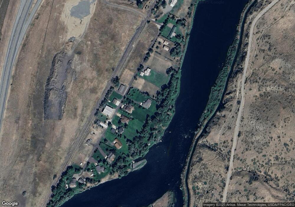
Map
Nearby Homes
- 71 Seibold Ln
- 2173 Old Us Hwy 91
- 2127 Old Us Highway 91
- 2107 Old Us Highway 91
- 2107 Old Us Hwy 91
- NHN Old Us Hwy 91
- tbd Big Pine Ln
- TBD Novak Creek Ln
- 0 Novak Creek Ln
- 0 Novak Creek Ln Unit 353229
- 754 Sheep Creek Rd
- 146 Pioneer Trail Ln
- Lot 003 Pioneer Trail Ln Unit Lot 003
- lot 002 Pioneer Trail Ln
- Lot 1 Block 3 Pioneer Trail Ln
- 50 Missouri Overlook Dr
- Nhn Outer Loop Rd
- 0 Box Canyon Ln Unit 23-64
- Nhn Upper Andy Creek Ln
- 0 Box Caynon Ln Unit 338253
- 53 Tower Rock Rd
- 57 Tower Rock Rd
- 41 Tower Rock Rd
- 61 Tower Rock Rd
- 37 Tower Rock Rd
- 65 Tower Rock Rd
- 33 Tower Rock Rd
- 69 Tower Rock Rd
- 30 Pistoria Ln
- 35 Pistoria Ln
- 29 Tower Rock Rd
- 73 Tower Rock Rd
- 77 Tower Rock Rd
- 9 Creek Crossing
- 17 Creek Crossing
- 0 Hardy Cr Exit
- 2 Hardy Creek Ln
- 2 Hardy Creek Ln
- 2320 Old Us Highway 91
- 6 Hardy Creek Ln
Your Personal Tour Guide
Ask me questions while you tour the home.