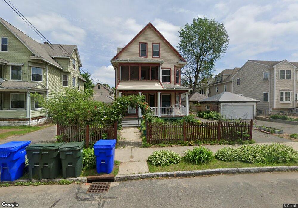
49 W Alvord St Unit 51 Springfield, MA 01108
Forest Park NeighborhoodEstimated Value: $346,000 - $400,000
8
Beds
2
Baths
2,939
Sq Ft
$129/Sq Ft
Est. Value
About This Home
This home is located at 49 W Alvord St Unit 51, Springfield, MA 01108 and is currently estimated at $378,353, approximately $128 per square foot. 49 W Alvord St Unit 51 is a home located in Hampden County with nearby schools including White Street Elementary School, M Marcus Kiley Middle, and High School Of Commerce.
Ownership History
Date
Name
Owned For
Owner Type
Purchase Details
Closed on
May 7, 2002
Sold by
Tobiasz Paula K
Bought by
Valenze David W and Valenze Kristie L
Current Estimated Value
Home Financials for this Owner
Home Financials are based on the most recent Mortgage that was taken out on this home.
Original Mortgage
$117,592
Outstanding Balance
$50,353
Interest Rate
7.13%
Mortgage Type
Purchase Money Mortgage
Estimated Equity
$328,000
Purchase Details
Closed on
Jan 22, 1998
Sold by
Dime Sb Ny
Bought by
Tobiasz Paula K
Home Financials for this Owner
Home Financials are based on the most recent Mortgage that was taken out on this home.
Original Mortgage
$42,500
Interest Rate
7.11%
Mortgage Type
Purchase Money Mortgage
Purchase Details
Closed on
Dec 17, 1996
Sold by
Hobbs Philip J
Bought by
Dime Sb Ny
Create a Home Valuation Report for This Property
The Home Valuation Report is an in-depth analysis detailing your home's value as well as a comparison with similar homes in the area
Home Values in the Area
Average Home Value in this Area
Purchase History
| Date | Buyer | Sale Price | Title Company |
|---|---|---|---|
| Valenze David W | $85,000 | -- | |
| Tobiasz Paula K | $47,000 | -- | |
| Dime Sb Ny | $75,300 | -- |
Source: Public Records
Mortgage History
| Date | Status | Borrower | Loan Amount |
|---|---|---|---|
| Open | Dime Sb Ny | $117,592 | |
| Previous Owner | Dime Sb Ny | $61,875 | |
| Previous Owner | Dime Sb Ny | $42,500 |
Source: Public Records
Tax History Compared to Growth
Tax History
| Year | Tax Paid | Tax Assessment Tax Assessment Total Assessment is a certain percentage of the fair market value that is determined by local assessors to be the total taxable value of land and additions on the property. | Land | Improvement |
|---|---|---|---|---|
| 2025 | $4,648 | $296,400 | $31,100 | $265,300 |
| 2024 | $3,928 | $244,600 | $31,100 | $213,500 |
| 2023 | $3,830 | $222,800 | $28,300 | $194,500 |
| 2022 | $3,764 | $200,000 | $28,100 | $171,900 |
| 2021 | $3,617 | $191,400 | $25,500 | $165,900 |
| 2020 | $3,605 | $184,600 | $25,500 | $159,100 |
| 2019 | $3,474 | $176,500 | $25,500 | $151,000 |
| 2018 | $3,041 | $154,500 | $25,500 | $129,000 |
| 2017 | $2,876 | $146,300 | $25,500 | $120,800 |
| 2016 | $2,283 | $116,100 | $25,500 | $90,600 |
| 2015 | $2,130 | $108,300 | $25,500 | $82,800 |
Source: Public Records
Map
Nearby Homes
- 6 Eton St
- 35-37 Whittier St
- 28 Juliet St
- 52 Herman St
- 31 Burton St
- 22-24 Ainsworth St
- 0 Dorset St (Nes)
- 62-64 Whittier St
- 20 Vermont St
- 67 Perkins St
- 769-771 Belmont Ave
- 742 Belmont Ave
- 12 Prescott St
- 855 Belmont Ave
- 615 White St
- 877 Belmont Ave
- 427 Orange St
- 20 Taft St
- 88 Brunswick St
- 28 Rencelau St
- 49-51 W Alvord St
- 53 W Alvord St Unit 55
- 53-55 W Alvord St
- 35 W Alvord St Unit 37
- 29 W Alvord St
- 59 W Alvord St Unit 61
- 18 E Alvord St Unit 20
- 40 E Alvord St
- 44 E Alvord St Unit 46
- 63 W Alvord St Unit 65
- 50 E Alvord St
- 26 E Alvord St
- 52 W Alvord St
- 56 W Alvord St
- 46 W Alvord St
- 54 E Alvord St Unit 56
- 54-56 E Alvord St
- 42 W Alvord St
- 42 W Alvord St Unit 1
- 62 W Alvord St Unit 2