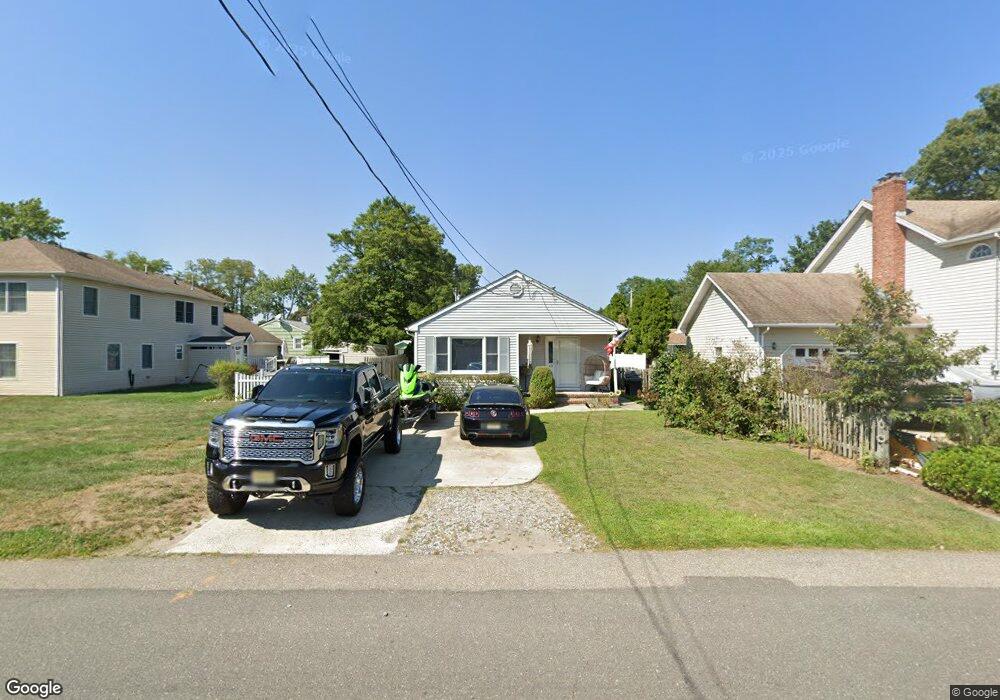
49 W Arverne Ave Ocean Gate, NJ 08740
Estimated Value: $361,912 - $405,000
3
Beds
2
Baths
1,215
Sq Ft
$316/Sq Ft
Est. Value
About This Home
This home is located at 49 W Arverne Ave, Ocean Gate, NJ 08740 and is currently estimated at $383,728, approximately $315 per square foot. 49 W Arverne Ave is a home located in Ocean County with nearby schools including Ocean Gate Elementary School, Central Regional Middle School, and Central Regional High School.
Ownership History
Date
Name
Owned For
Owner Type
Purchase Details
Closed on
Jan 12, 2005
Sold by
Barbato Kim and Gunn Kim S
Bought by
Purpura Lenore C
Current Estimated Value
Home Financials for this Owner
Home Financials are based on the most recent Mortgage that was taken out on this home.
Original Mortgage
$146,000
Outstanding Balance
$85,252
Interest Rate
8.2%
Mortgage Type
Fannie Mae Freddie Mac
Estimated Equity
$298,476
Create a Home Valuation Report for This Property
The Home Valuation Report is an in-depth analysis detailing your home's value as well as a comparison with similar homes in the area
Home Values in the Area
Average Home Value in this Area
Purchase History
| Date | Buyer | Sale Price | Title Company |
|---|---|---|---|
| Purpura Lenore C | $200,000 | Stewart |
Source: Public Records
Mortgage History
| Date | Status | Borrower | Loan Amount |
|---|---|---|---|
| Open | Purpura Lenore C | $146,000 |
Source: Public Records
Tax History Compared to Growth
Tax History
| Year | Tax Paid | Tax Assessment Tax Assessment Total Assessment is a certain percentage of the fair market value that is determined by local assessors to be the total taxable value of land and additions on the property. | Land | Improvement |
|---|---|---|---|---|
| 2025 | $4,692 | $285,400 | $136,000 | $149,400 |
| 2024 | $4,704 | $285,400 | $136,000 | $149,400 |
| 2023 | $4,333 | $155,800 | $60,700 | $95,100 |
| 2022 | $4,333 | $155,800 | $60,700 | $95,100 |
| 2021 | $4,147 | $155,800 | $60,700 | $95,100 |
| 2020 | $4,180 | $155,800 | $60,700 | $95,100 |
| 2019 | $4,079 | $155,800 | $60,700 | $95,100 |
| 2018 | $3,937 | $155,800 | $60,700 | $95,100 |
| 2017 | $3,907 | $155,800 | $60,700 | $95,100 |
| 2016 | $3,876 | $155,800 | $60,700 | $95,100 |
| 2015 | $4,284 | $210,200 | $100,000 | $110,200 |
| 2014 | $4,303 | $210,200 | $100,000 | $110,200 |
Source: Public Records
Map
Nearby Homes
- 36 W Point Pleasant Ave
- 700 Navesink Ave
- 553 Ocean Gate Dr
- 803 Ocean Gate Dr
- 32 E Long Branch Ave
- 3 Sheila Ct
- 21 W Bayview Ave
- 257 Ocean Gate Turnpike
- 0 Jane Ave
- 207 Ocean Gate Ave
- 142 E Lakewood Ave
- 253 Shore Blvd
- 238 Lakewood Ave
- 39 Ivy Ct
- 221 E Lakewood Ave
- 318 E Cape May Ave
- 227 Chelsea Ave
- 416 Monmouth Ave
- 99 Holly Ln
- 58 Ronald Ave S
- 813 Navesink Ave
- 35 W Arverne Ave
- 48 W Cape May Ave
- 46 W Cape May Ave
- 803 Navesink Ave
- 40 W Cape May Ave
- 31 W Arverne Ave
- 21 W Arverne Ave
- 32 W Cape May Ave
- 814 Navesink Ave
- 810 Navesink Ave
- 719 Navesink Ave
- 100 W Cape May Ave
- 47 W Cape May Ave
- 24 W Cape May Ave
- 41 W Cape May Ave
- 715 Navesink Ave
- 17 W Arverne Ave Unit 1
- 27 W Cape May Ave
- 117 W Arverne Ave