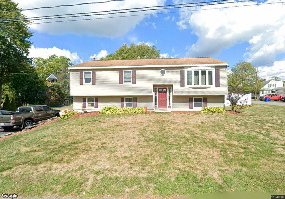
49 Watson Ave Leominster, MA 01453
Estimated Value: $465,368 - $485,000
3
Beds
1
Bath
1,332
Sq Ft
$358/Sq Ft
Est. Value
About This Home
This home is located at 49 Watson Ave, Leominster, MA 01453 and is currently estimated at $476,342, approximately $357 per square foot. 49 Watson Ave is a home located in Worcester County with nearby schools including Leominster High School, St. Leo School, and St. Anna Catholic School.
Create a Home Valuation Report for This Property
The Home Valuation Report is an in-depth analysis detailing your home's value as well as a comparison with similar homes in the area
Home Values in the Area
Average Home Value in this Area
Tax History
| Year | Tax Paid | Tax Assessment Tax Assessment Total Assessment is a certain percentage of the fair market value that is determined by local assessors to be the total taxable value of land and additions on the property. | Land | Improvement |
|---|---|---|---|---|
| 2025 | $5,838 | $416,100 | $140,900 | $275,200 |
| 2024 | $5,676 | $391,200 | $134,200 | $257,000 |
| 2023 | $5,599 | $360,300 | $116,700 | $243,600 |
| 2022 | $5,327 | $321,700 | $101,400 | $220,300 |
| 2021 | $5,049 | $278,500 | $79,000 | $199,500 |
| 2020 | $4,891 | $272,000 | $79,000 | $193,000 |
| 2019 | $4,724 | $254,800 | $75,300 | $179,500 |
| 2018 | $4,780 | $247,300 | $73,100 | $174,200 |
| 2017 | $4,333 | $219,600 | $68,300 | $151,300 |
| 2016 | $4,124 | $210,600 | $68,300 | $142,300 |
| 2015 | $3,989 | $205,200 | $68,300 | $136,900 |
| 2014 | $3,974 | $210,400 | $75,300 | $135,100 |
Source: Public Records
Map
Nearby Homes
- 663 Main St
- 43 Hamilton St Unit 24
- 36 Sunrise Ave
- 45 Fox Meadow Rd Unit F
- 75 Dale Ave
- 65 Farm Hill Rd
- 17 Fernwood Dr Unit D
- 57 Liberty St Unit 2
- 1012 Main St
- 26 Claflin St
- 21 Whitman St
- 54 N Main St
- 81 Winter St
- 1177 Main St
- 57 Winter St
- 112 7th St
- 124 11th St
- 212 Spruce St
- 131 5th St
- 212 Washington St
- 73 Burrage Ave
- 85 Watson Ave
- 31 Watson Ave
- 55 Burrage Ave Unit 3
- 55 Burrage Ave Unit 2
- 55 Burrage Ave
- 48 Watson Ave
- 66 Watson Ave
- 85 Crystal Ave
- 27 Watson Ave
- 86 Watson Ave
- 46 Crystal Ave
- 91 Watson Ave
- 43 Blanchard St
- 76 Burrage Ave
- 47 Burrage Ave
- 45 Blanchard St
- 26 Watson Ave
- 80 Burrage Ave
- 56 Burrage Ave
Your Personal Tour Guide
Ask me questions while you tour the home.